Summary - HAWTHORNE HOUSE ROWLEY BANK LANE HIGH LEGH KNUTSFORD WA16 0QT
1 bed 1 bath Land
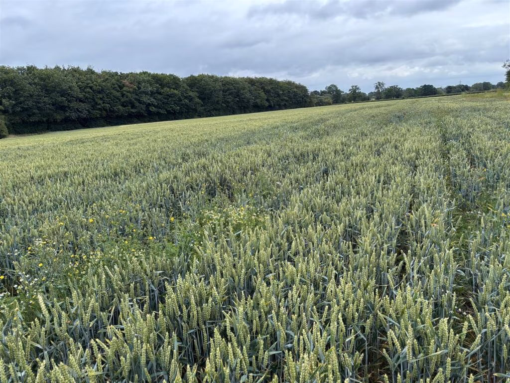
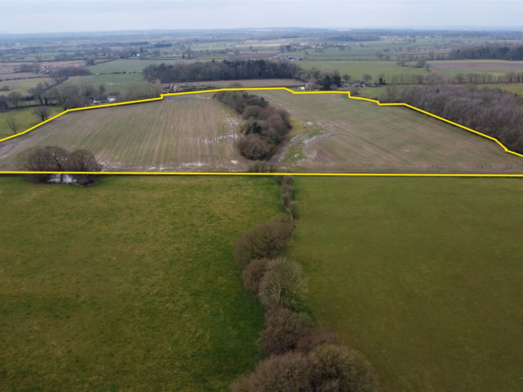
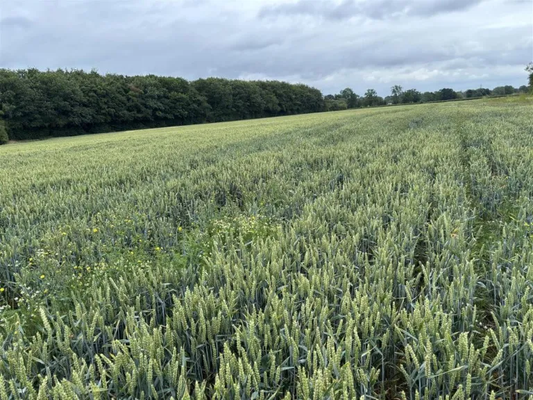
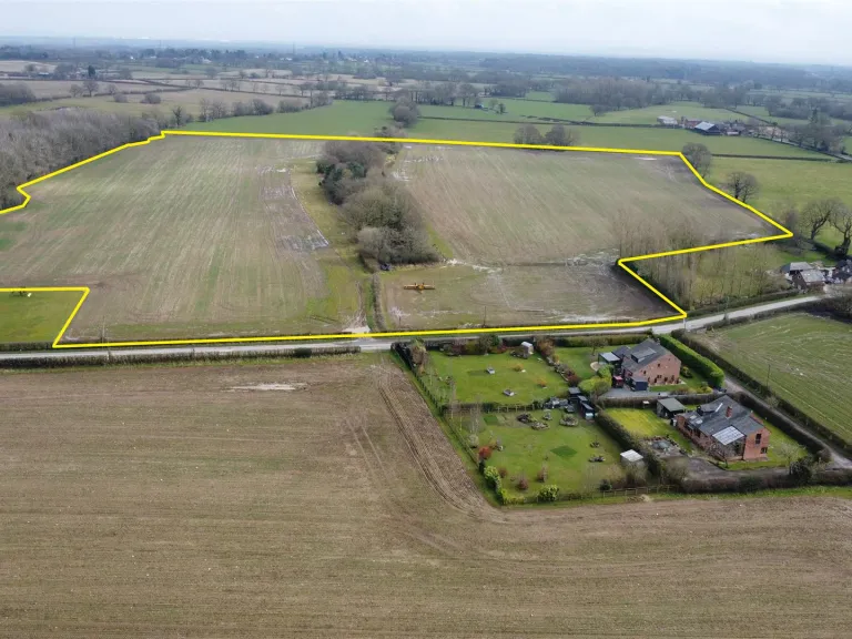
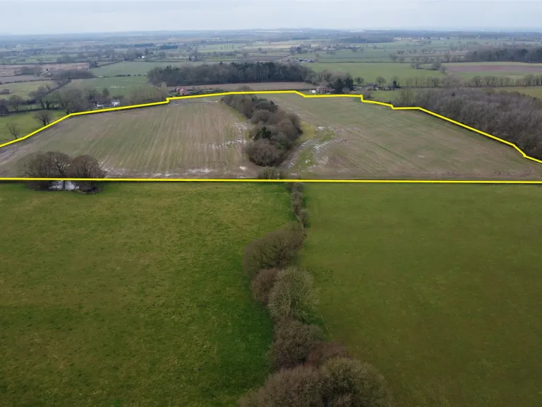
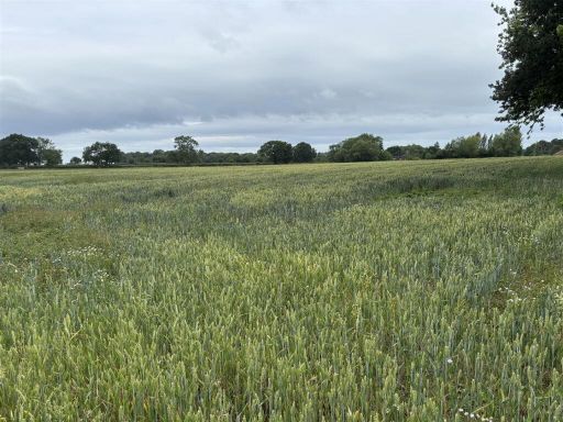
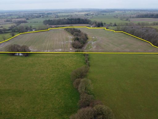
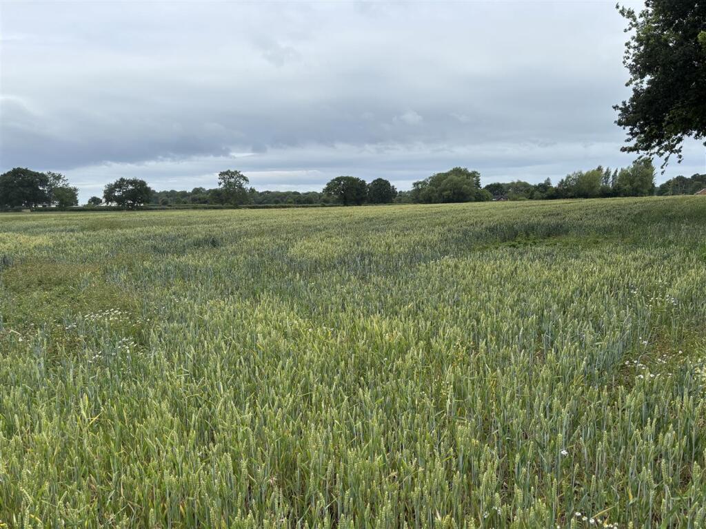
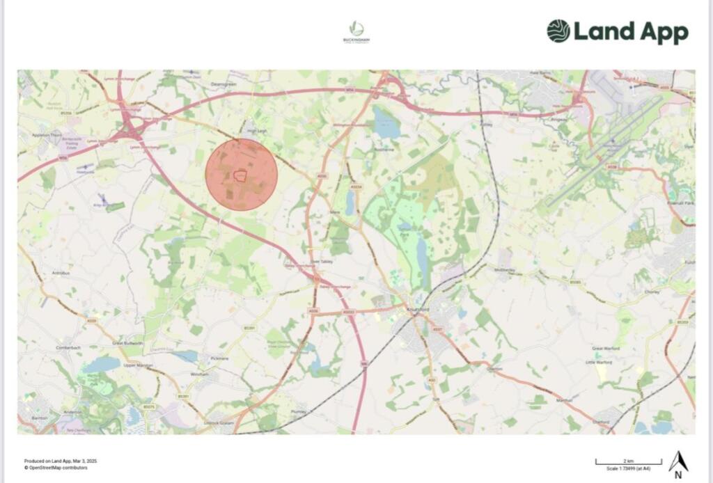
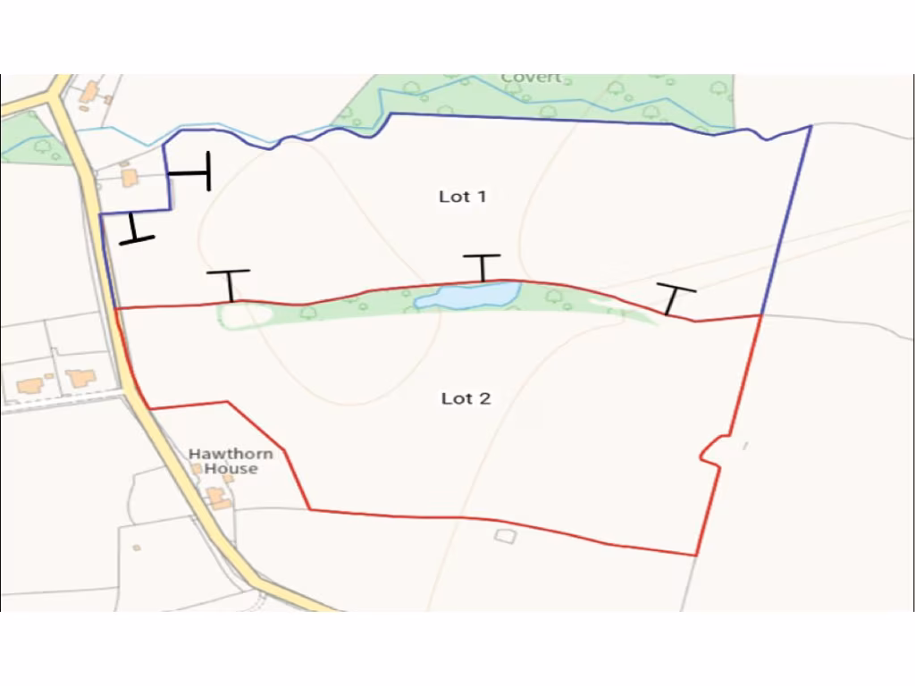
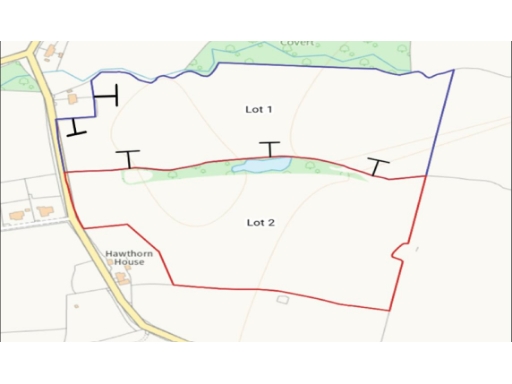
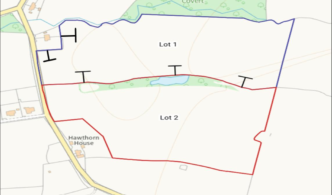
25.36 acres Grade 3 arable land with woodland and gated road frontage, sold whole or in two lots..
- 25.36 acres of Grade 3 arable land, available whole or in two lots
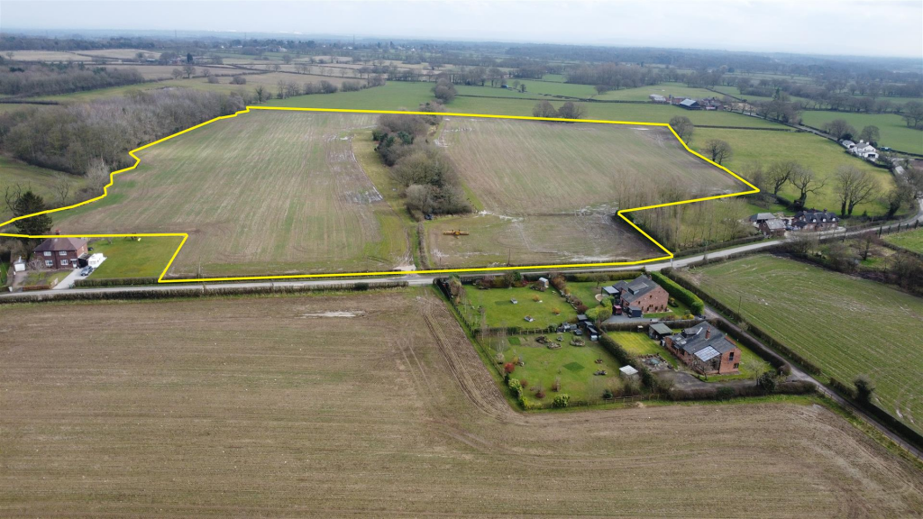
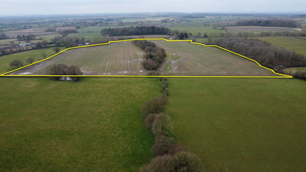
- Lot 1: approx. 12.24 acres; Lot 2: approx. 13.12 acres
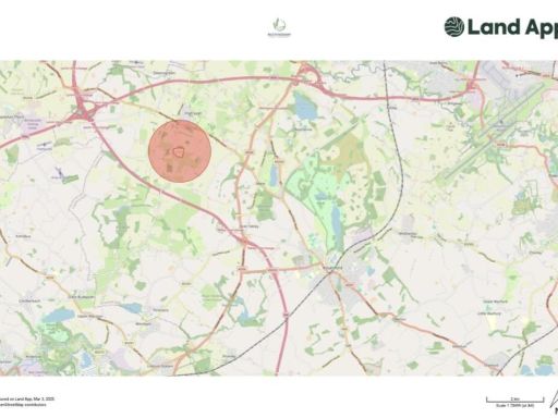
- Freehold with gated frontage onto adopted Rowley Bank Lane
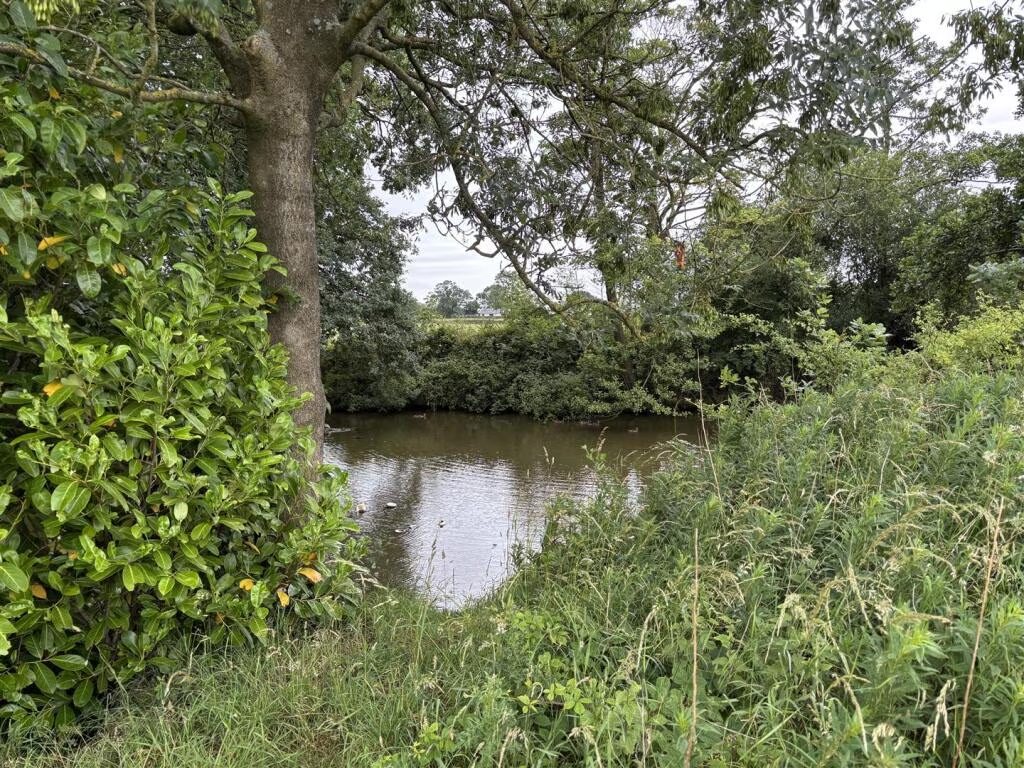
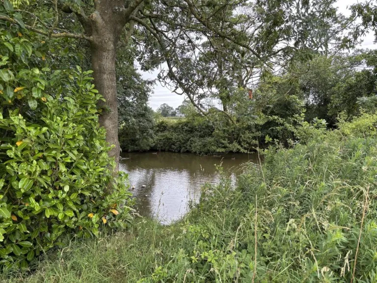
- Lot 2 includes small woodland and several ponds
- Currently in arable cropping; cropping history available on request
- Purchaser must erect/maintain stockproof fencing where marked
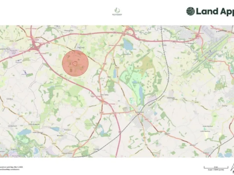
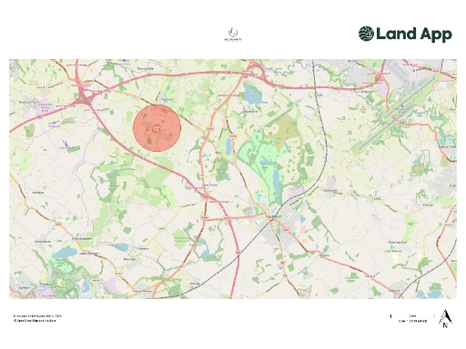
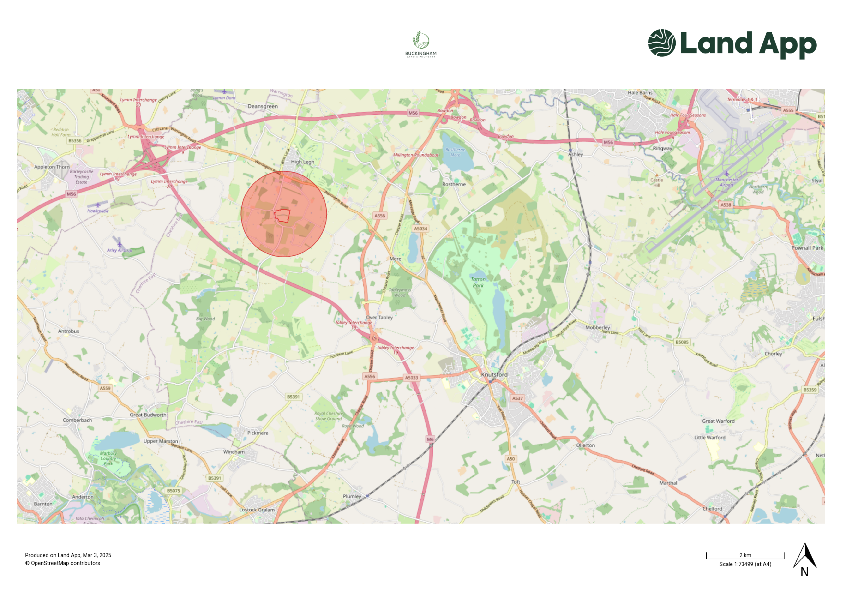
- No flood risk; rural hamlet location with very low crime
- Very slow broadband and average mobile signal (rural limitations)
A substantial freehold holding of approximately 25.36 acres of Grade 3 arable land offered as a whole or in two convenient lots (12.24 and 13.12 acres). The farmland fronts onto Rowley Bank Lane with gated access to each lot, and is currently in arable cropping with a recent cropping history available on request. Lot 2 includes a small woodland and several ponds that add biodiversity and landscape interest.
This land will suit an owner-operator, investor or local farmer seeking productive arable ground close to High Legh and within easy reach of Knutsford. The remoter hamlet setting provides a quiet rural environment, very low local crime and no identified flood risk, while nearby schools and established farming communities underline the agricultural character of the area.
Buyers should note a few practical matters: broadband speeds are very slow and mobile signal is average, reflecting the rural location. The purchaser will be responsible for erecting and maintaining a stockproof fence (where absent) along boundaries marked with inward facing T marks within two months of completion. Any change of use or development would require separate planning permission.
Offered freehold with clear vehicular frontage to the adopted highway, this holding represents flexible ownership — continue arable cropping, manage for amenity and conservation, or explore longer-term options subject to planning. Further information, including the sale plan, cropping history and access arrangements, is available on request.
 Land for sale in Rowley Bank Lane, High Legh, Knutsford, WA16 — £177,000 • 1 bed • 1 bath
 Land for sale in Rowley Bank Lane, High Legh, Knutsford, WA16 — £165,000 • 1 bed • 1 bath
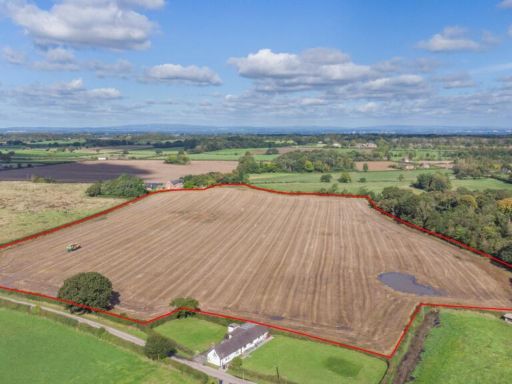 Land for sale in High Legh, Knutsford, Cheshire, WA16 — £200,000 • 1 bed • 1 bath
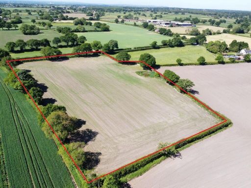 Land for sale in Land on School Lane, Pickmere, Knutsford, WA16 — £61,000 • 1 bed • 1 bath
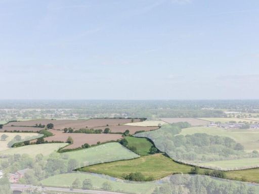 Farm land for sale in Land at Knutsford Road (Lot 2), Cranage, Cheshire, CW4 — £580,000 • 1 bed • 1 bath
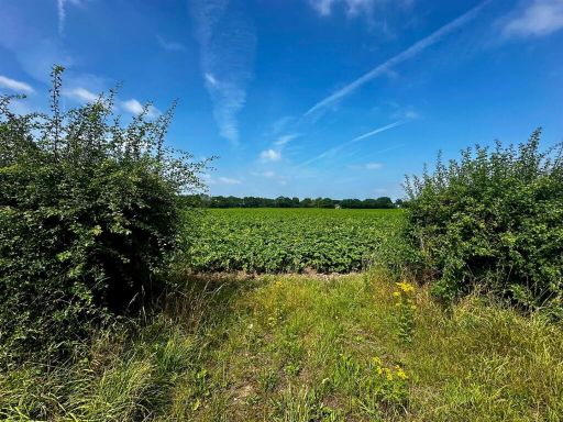 Land for sale in Swineyard Lane, High Legh, Knutsford, WA16 — £300,000 • 1 bed • 1 bath