Summary - The Doles, Badgworth, Axbridge, Somerset, BS26 BS26 2QN
1 bed 1 bath Land
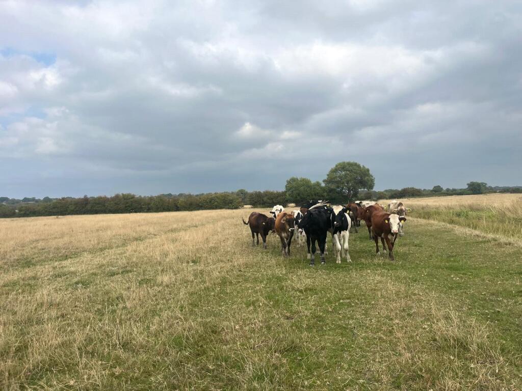
Versatile smallholding opportunity near Axbridge for grazing or equestrian use.
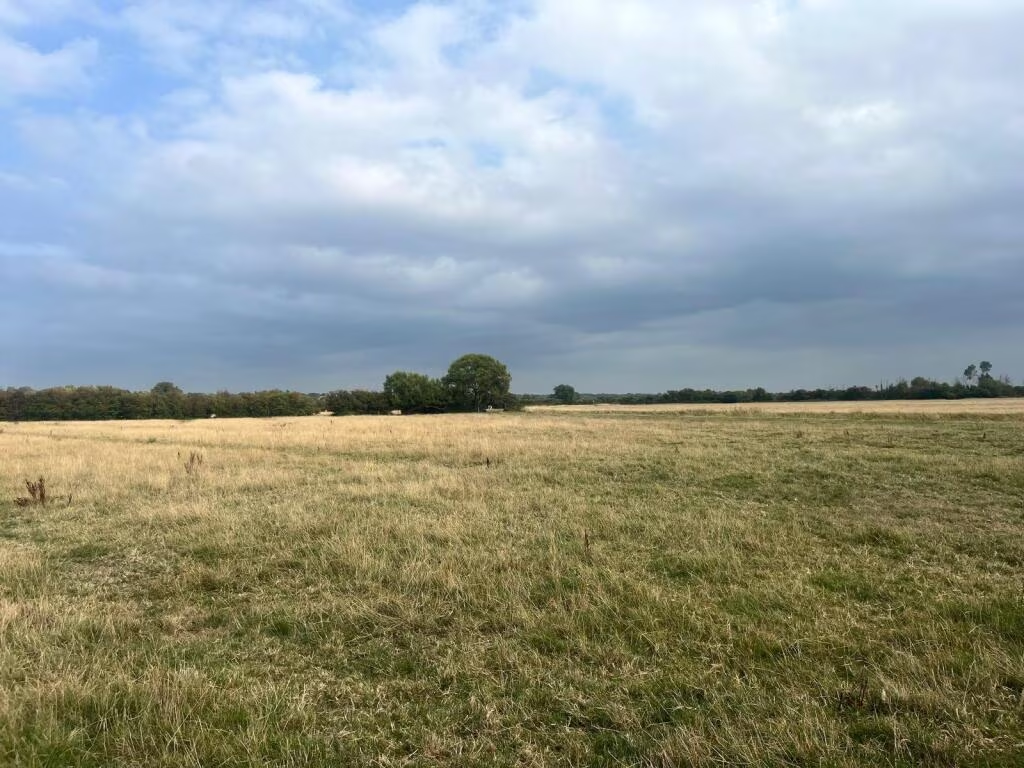
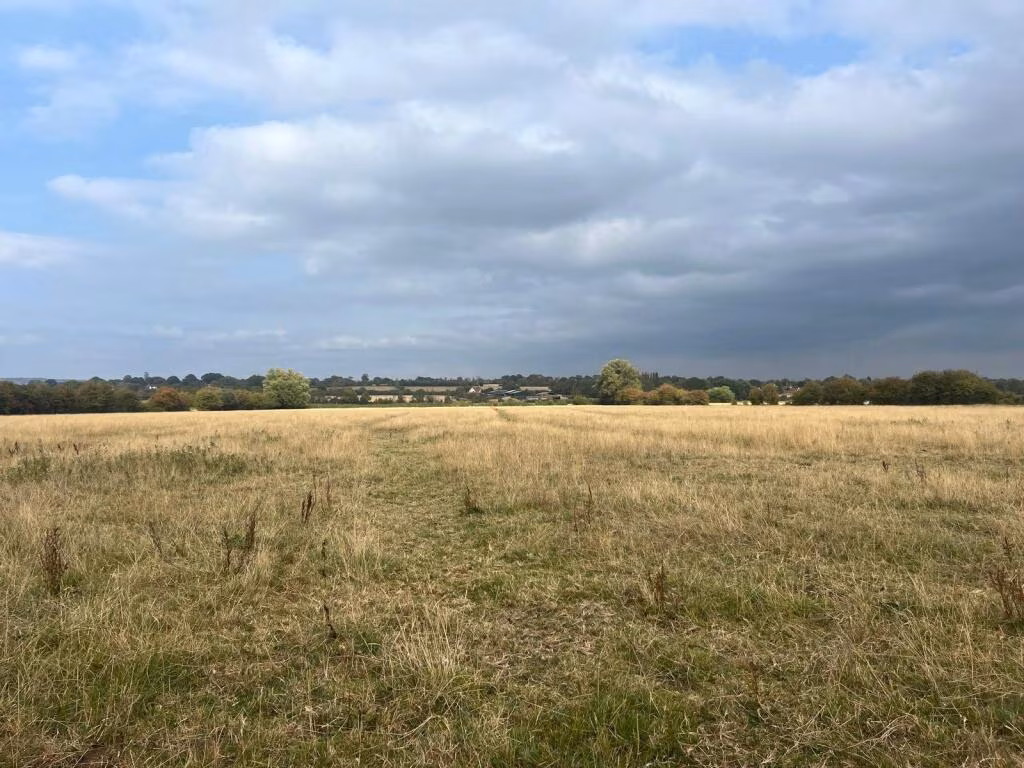
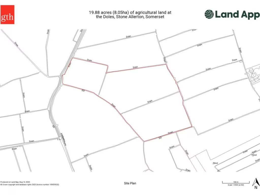
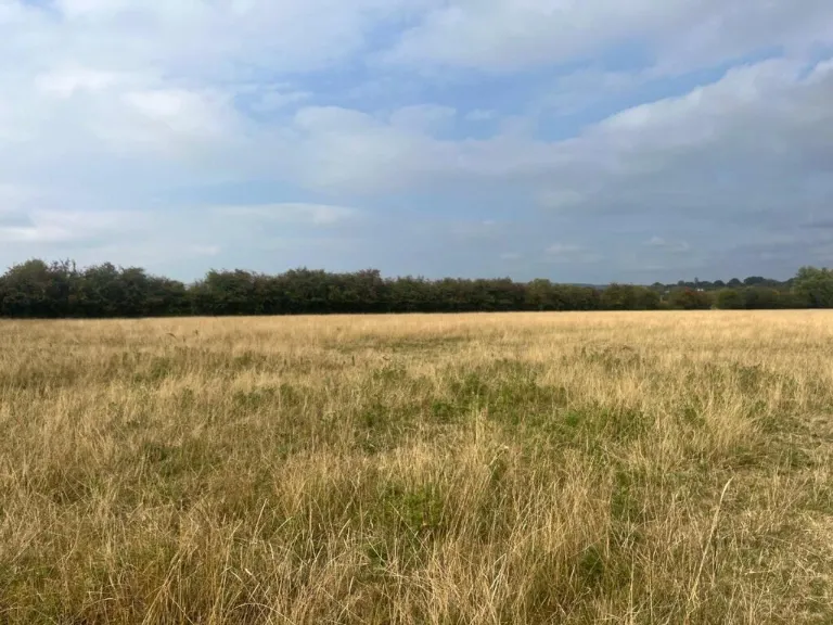
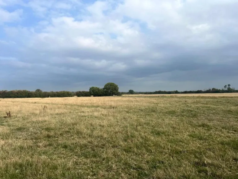
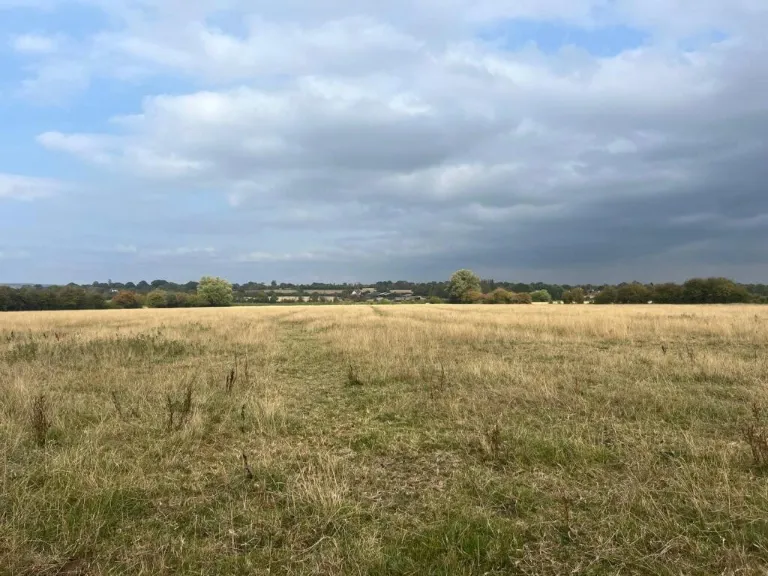
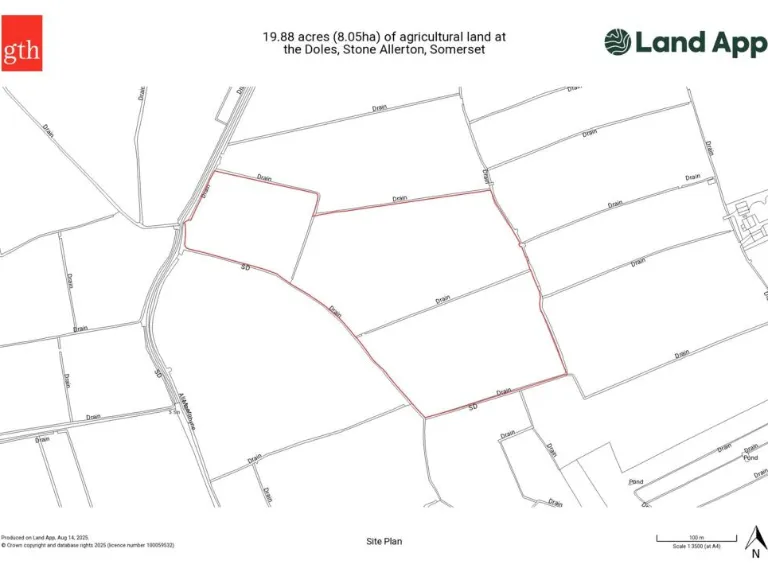
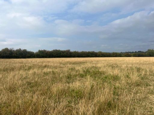
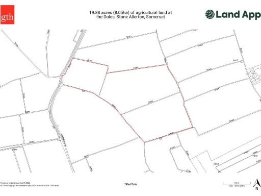
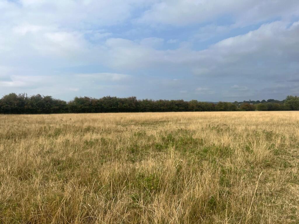
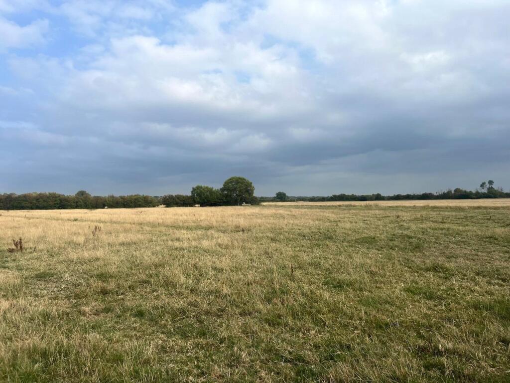
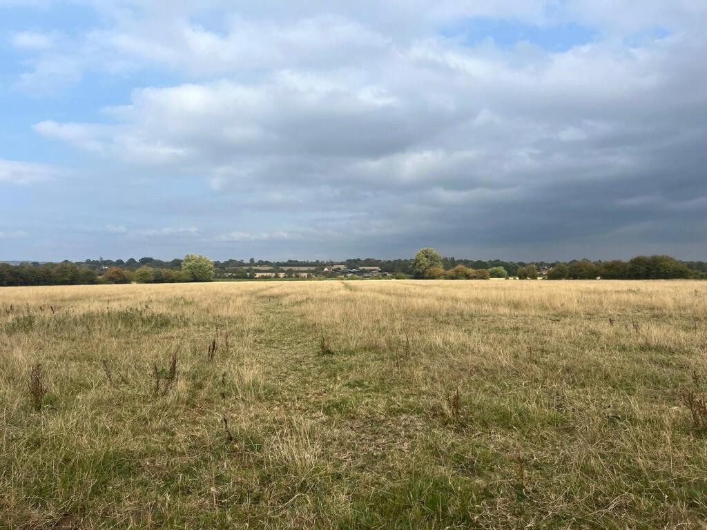
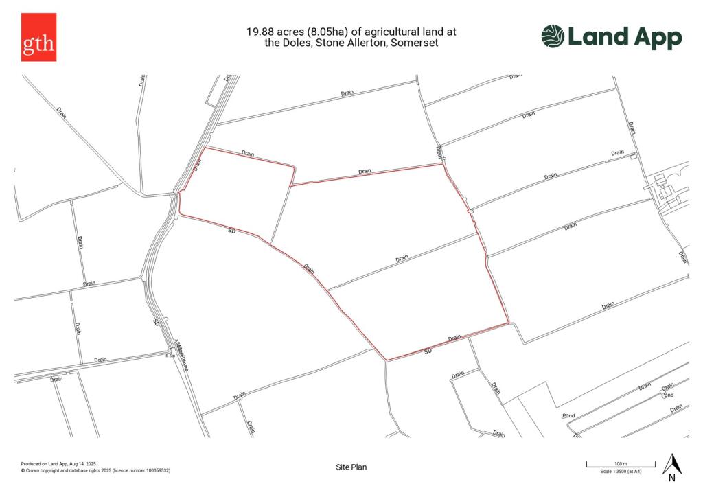
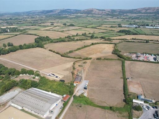
- About 19.87 acres (8.04 ha) of level permanent pasture
- Three contiguous parcels with gated access off The Doles
- Bounded by mature hedgerows and natural watercourses
- Natural watering only; no mains services on site
- Grade 4 agricultural land (lower productive quality)
- Parts fall in Flood Zones 2 and 3 — check insurance/planning
- Drainage rates c. £2–4 per acre per year payable
- Freehold with vacant possession; no development clawback
Approximately 19.87 acres (8.04 ha) of level, productive permanent pasture split into three parcels off a hard track lane. The land benefits from gated access onto a tarmac lane (The Doles) and is bounded by mature hedgerows and natural watercourses, offering immediate agricultural or equestrian use.
Practical running costs are low: drainage rates to the Somerset Consortium of Drainage Boards are approximately £2–4 per acre per year, and the sellers will retain the delinked Basic Payment Scheme monies. The freehold is offered with vacant possession and there is no development clawback, making the site straightforward to acquire for farming, grazing, or as a rural holding.
Constraints to note: the land is classified Grade 4 (lower agricultural quality) and is served by natural watering only — no mains services are present. Parts of the property lie within Flood Zones 2 and 3 on Environment Agency mapping, which may affect some uses and insurance. Purchasers should also be aware the sale is subject to existing easements, wayleaves and drainage obligations.
This is a pragmatic purchase for an owner-occupier or investor seeking a sizable, uncluttered rural holding near Axbridge. It suits grazing, hay production or equestrian use with good hedged boundaries and easy access from the local lane; those considering alternative or development uses should check planning constraints and flood implications first.
 Land for sale in Beech Tree Farm, Badgworth, Axbridge, Somerset, BS26 — £650,000 • 1 bed • 1 bath • 2263 ft²
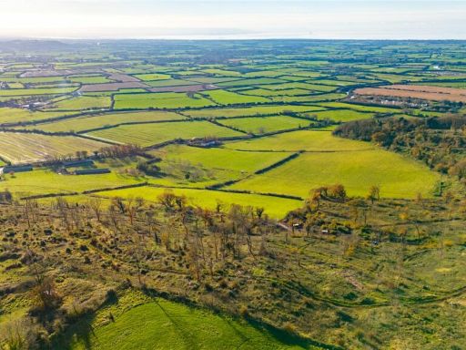 Land for sale in Shiplate Road, Loxton, Axbridge, Somerset, BS26 — £650,000 • 1 bed • 1 bath
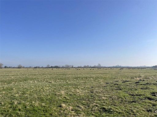 Land for sale in Long Moor Drove, Huntspill Moor, Bridgwater, Somerset, TA7 — £195,000 • 1 bed • 1 bath
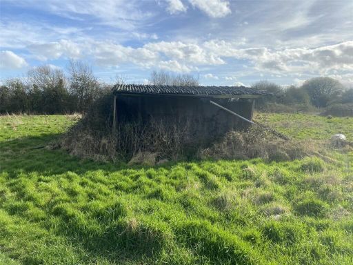 Land for sale in Dolemoor Lane, Puxton, North Somerset, BS24 — £70,000 • 1 bed • 1 bath
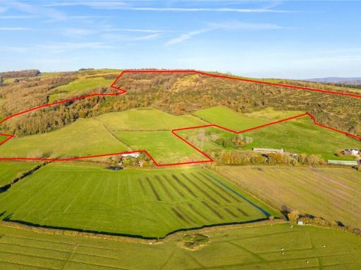 Land for sale in Land At Woodlands Farm- Whole, Shiplate Road, Loxton, Axbridge, BS26 — £650,000 • 1 bed • 1 bath
 Land for sale in Nye Drove, Hewish, North Somerset, BS24 — £150,000 • 1 bed • 1 bath