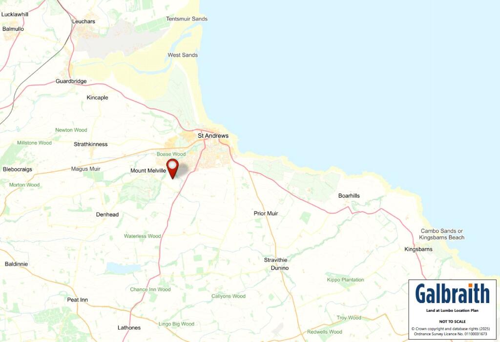
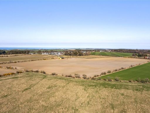
Summary - Land At Lumbo, Lumbo, St. Andrews, Fife, KY16 KY16 8NS
1 bed 1 bath Land
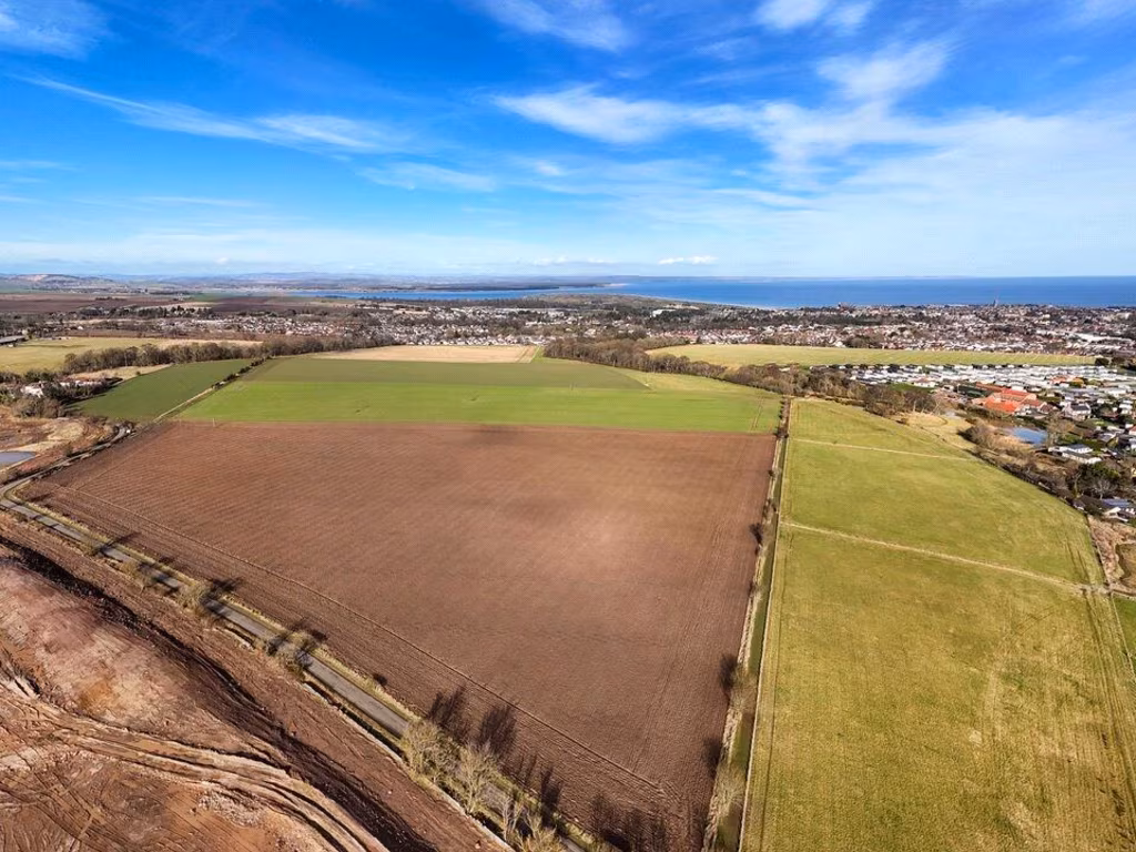
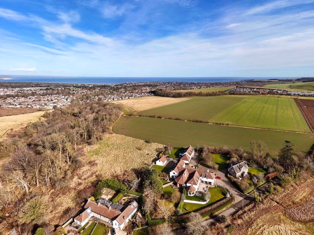
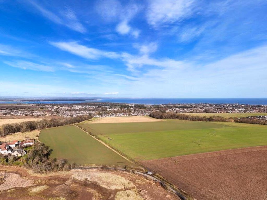
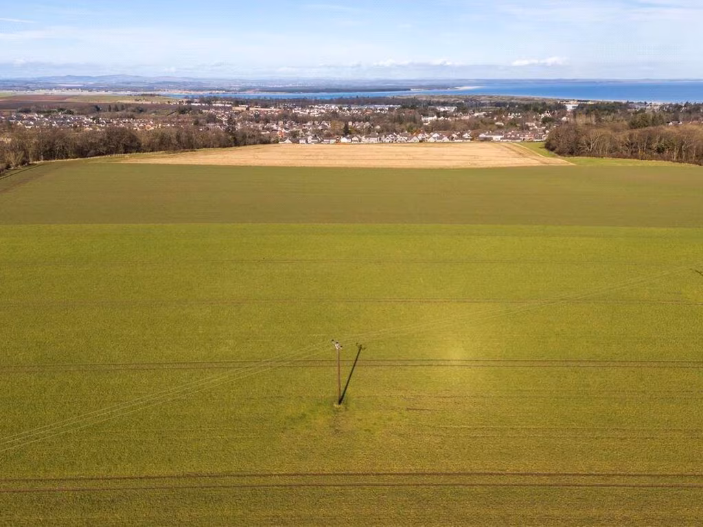
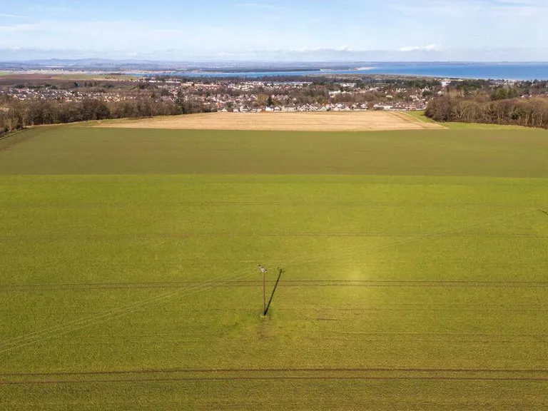
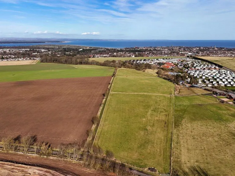
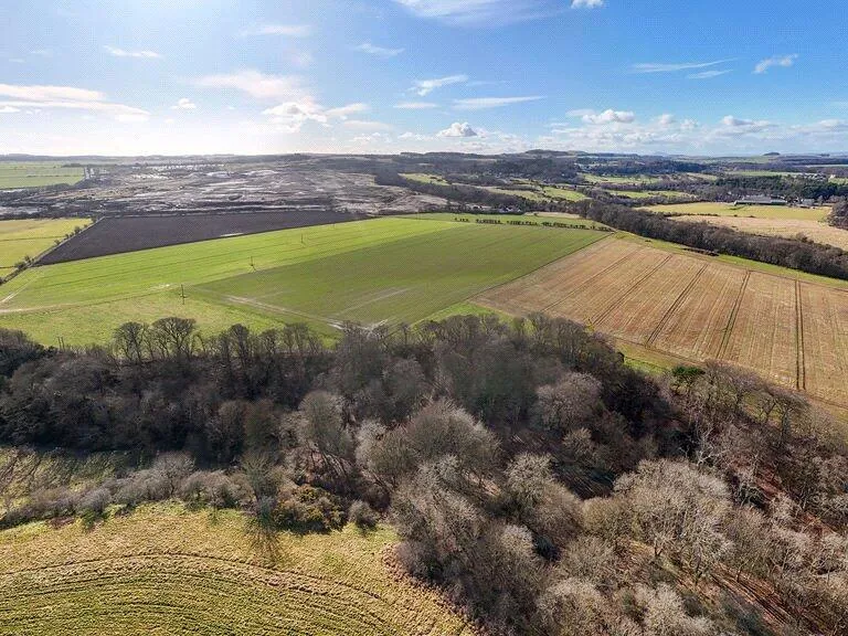
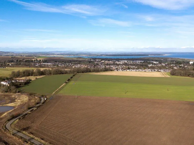
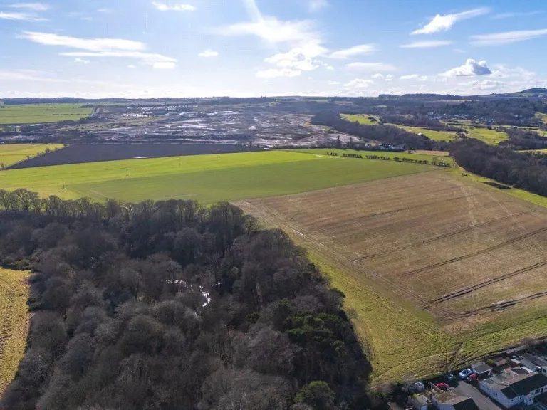
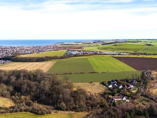
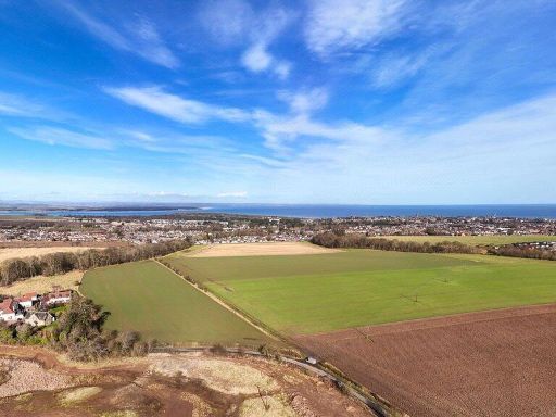
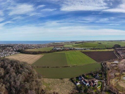
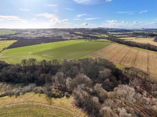
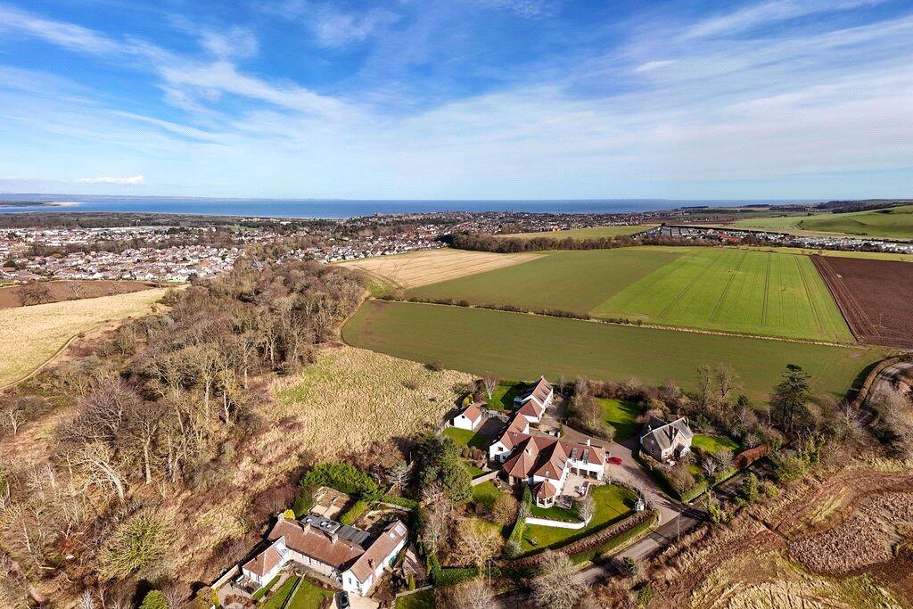
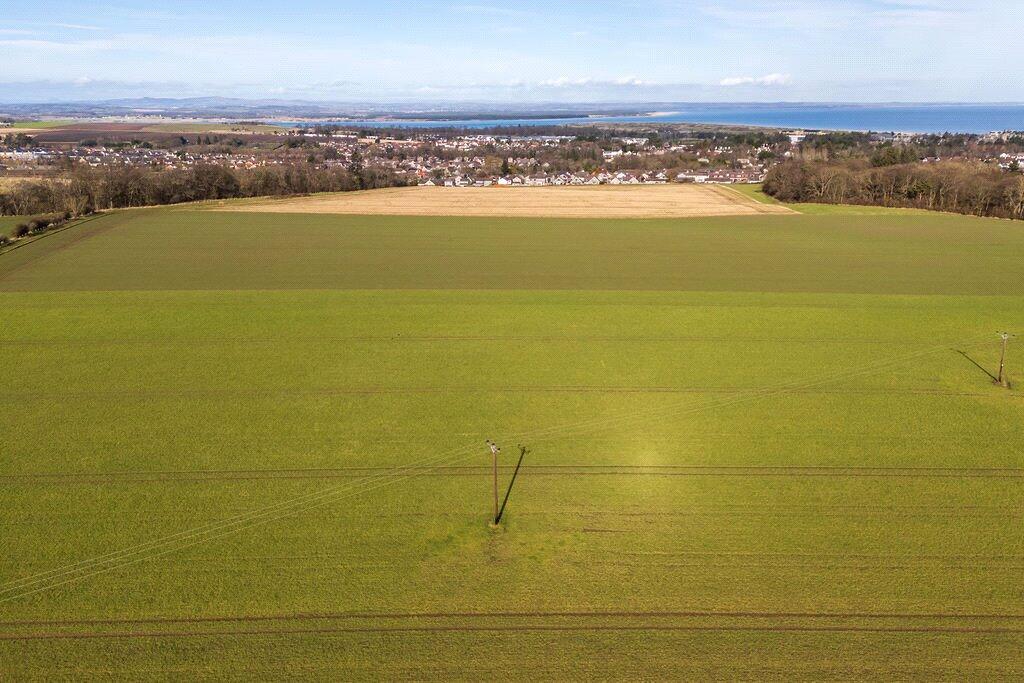
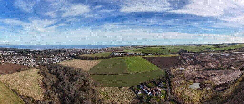
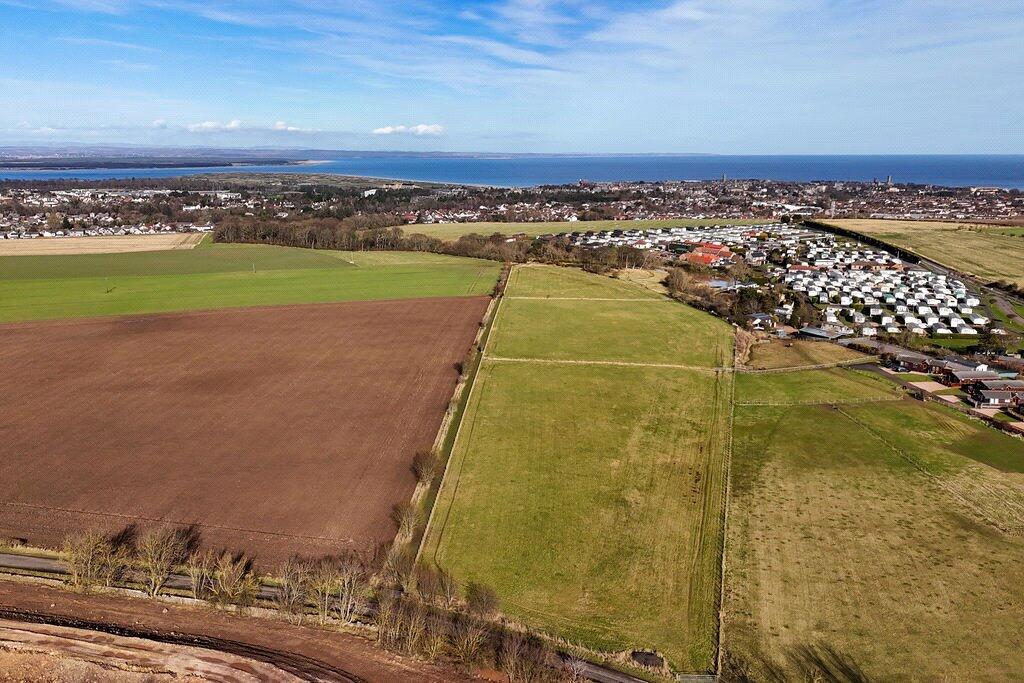
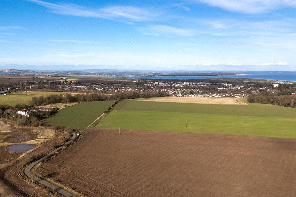
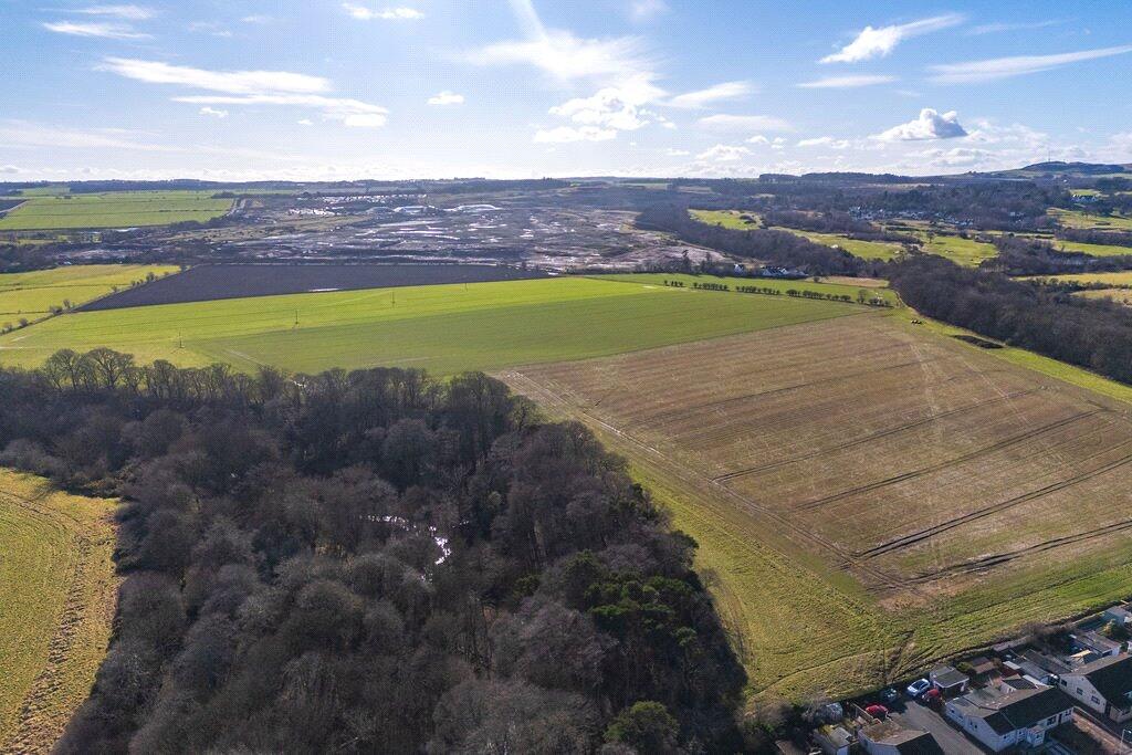
Large productive arable and woodland holding near the coast, ideal for farming or long-term landbanking.
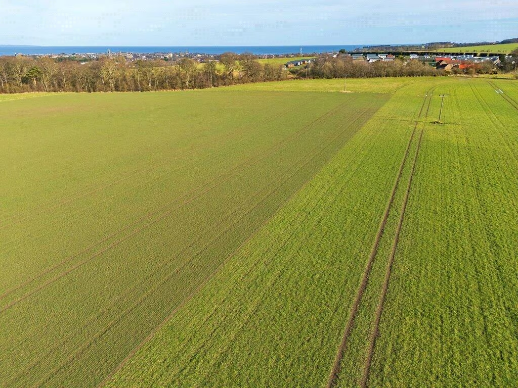
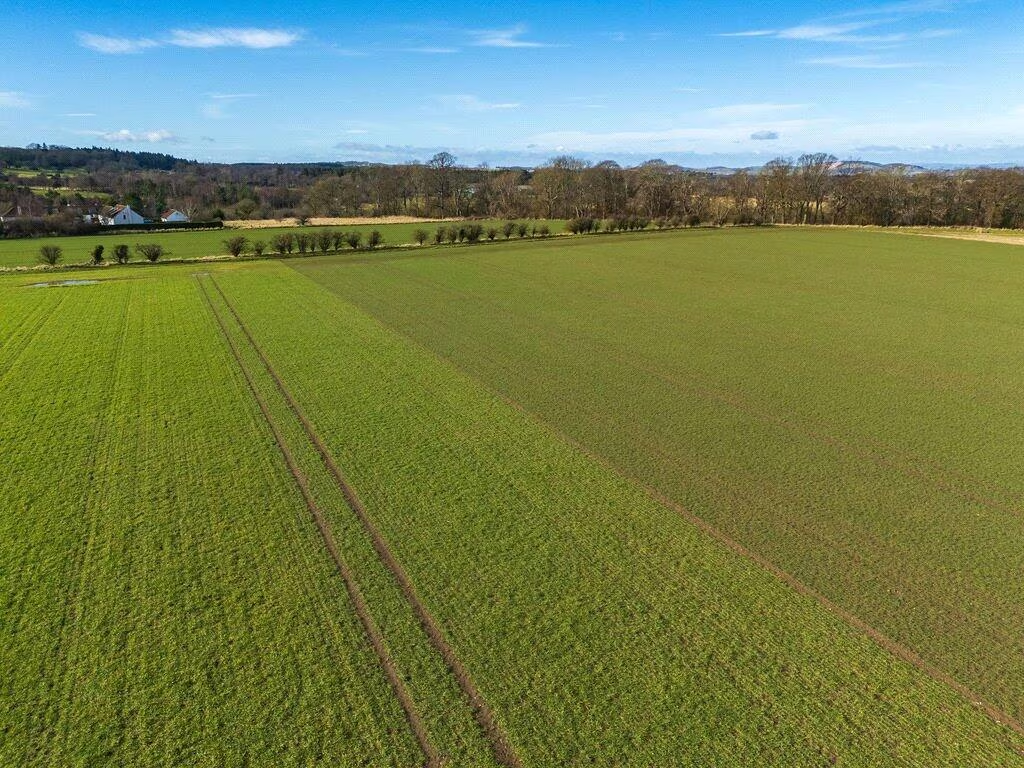
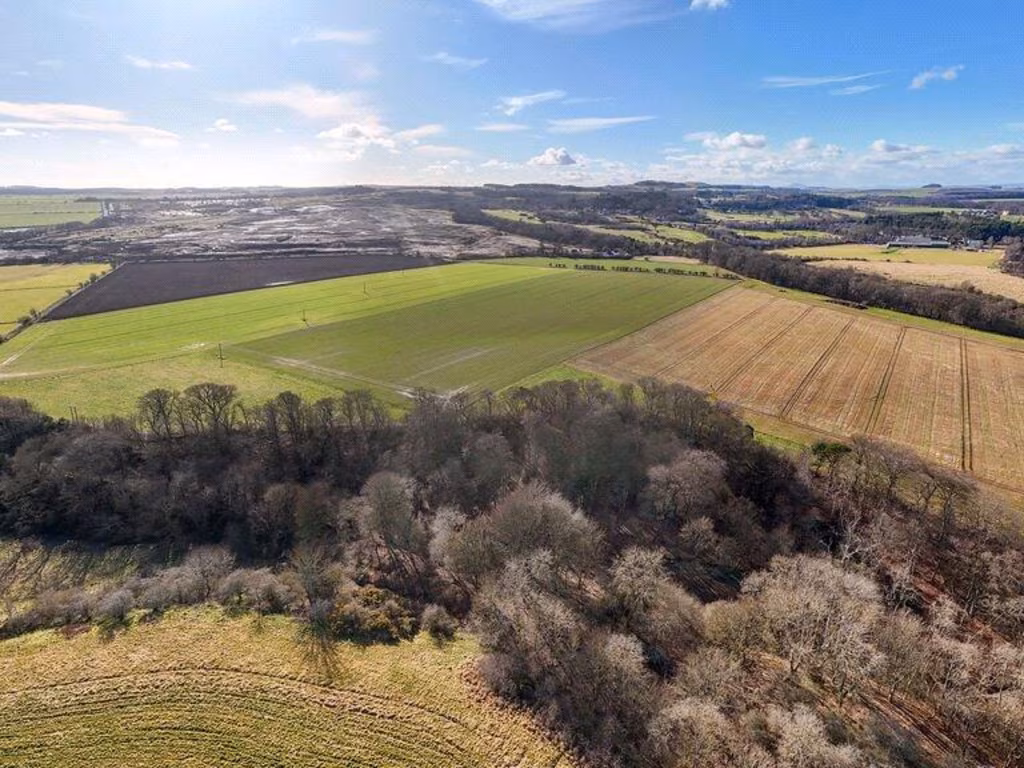
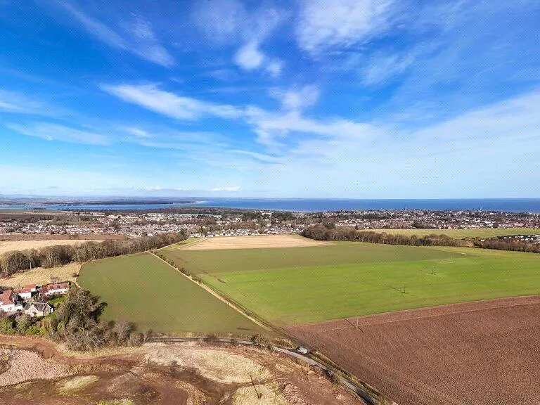
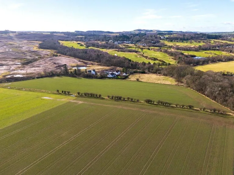
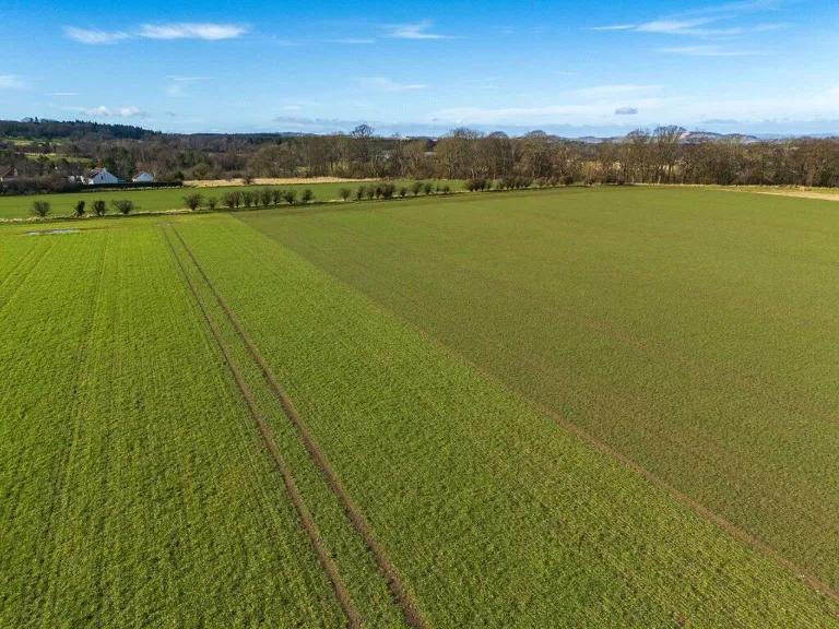
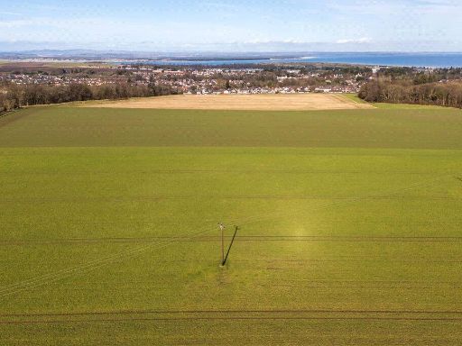
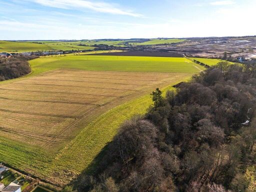
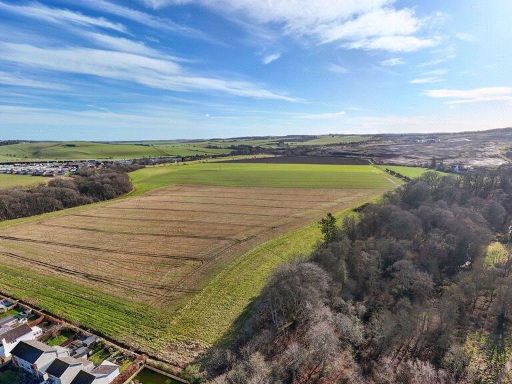
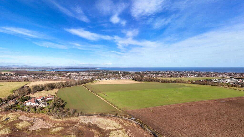
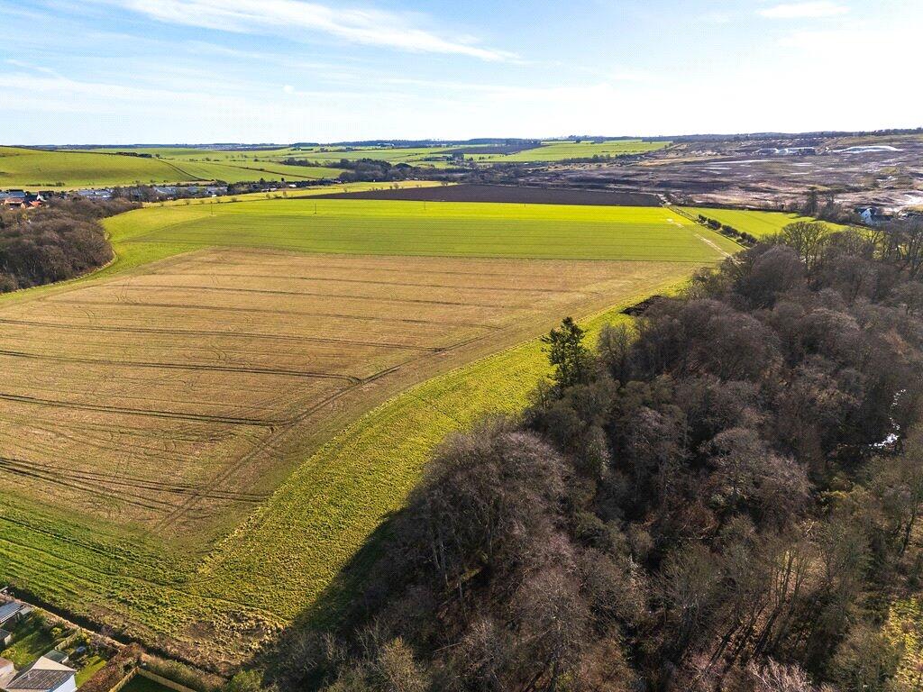
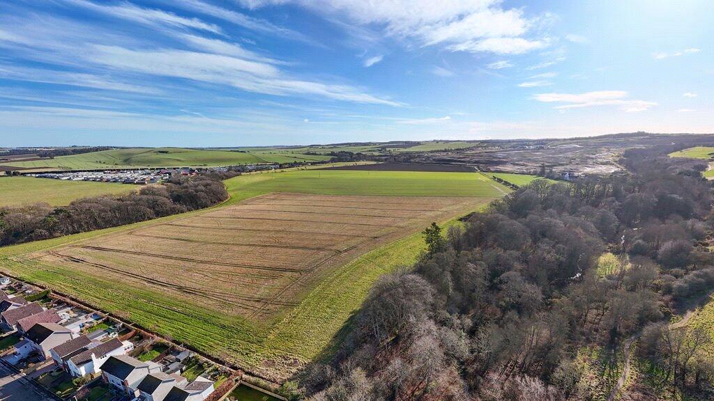
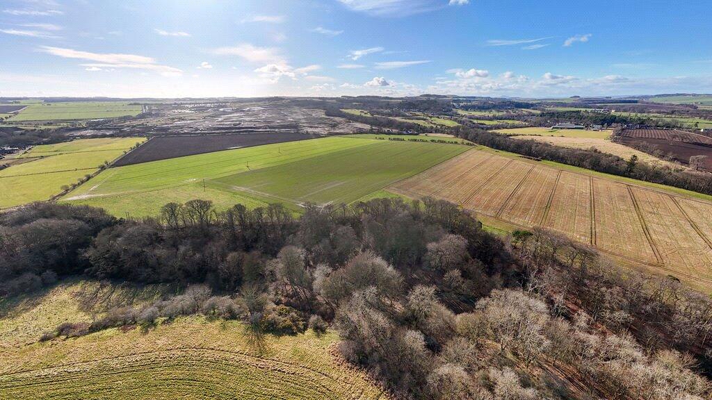
Productive arable: 75.54 acres of Grade 3.1 land, free draining and well maintained.
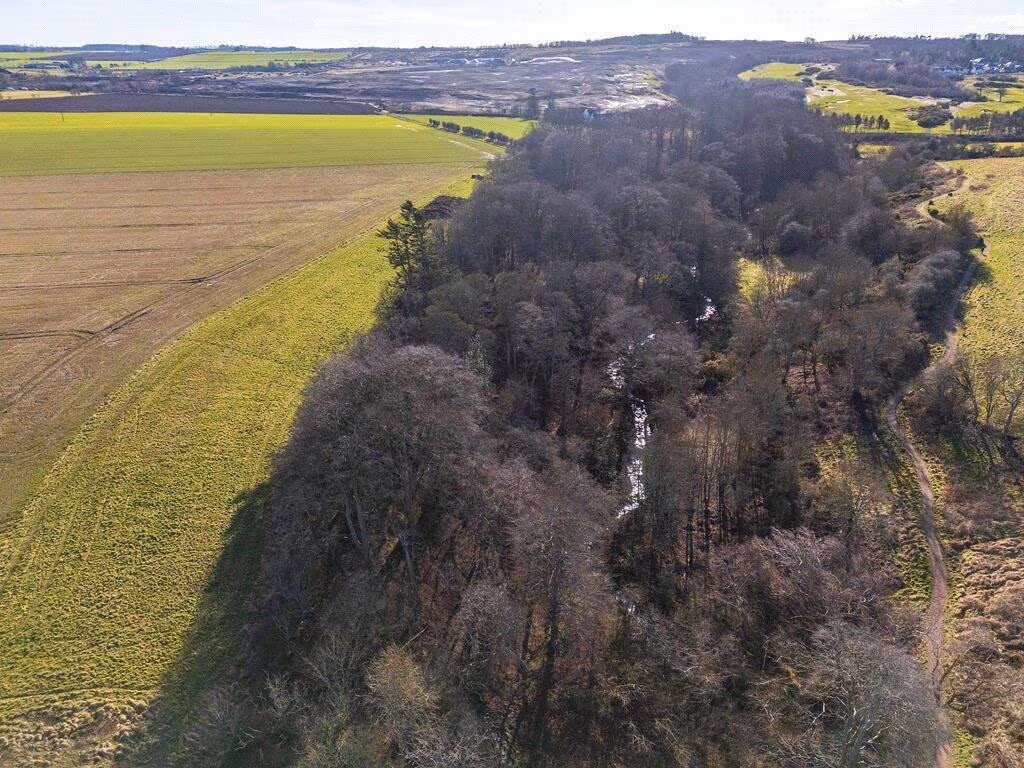
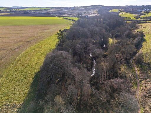
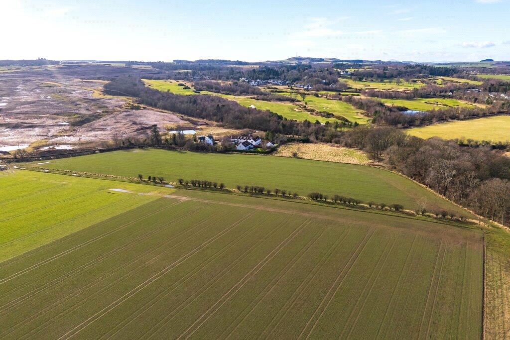
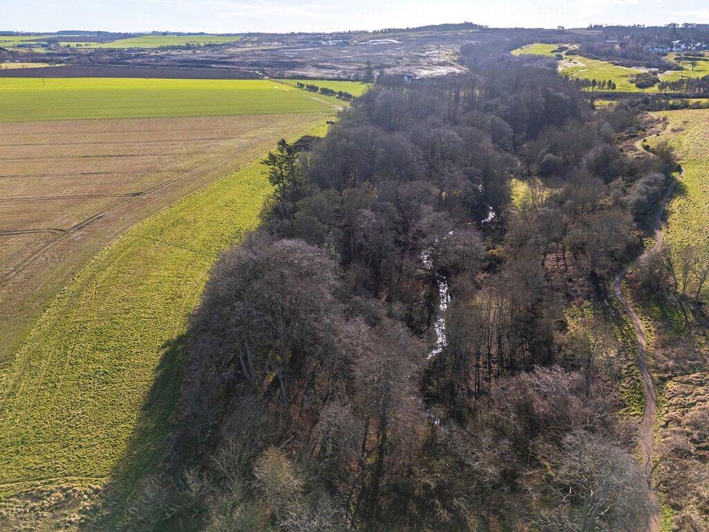
Includes 12.03 acres mixed woodland with standing and fallen timber included.
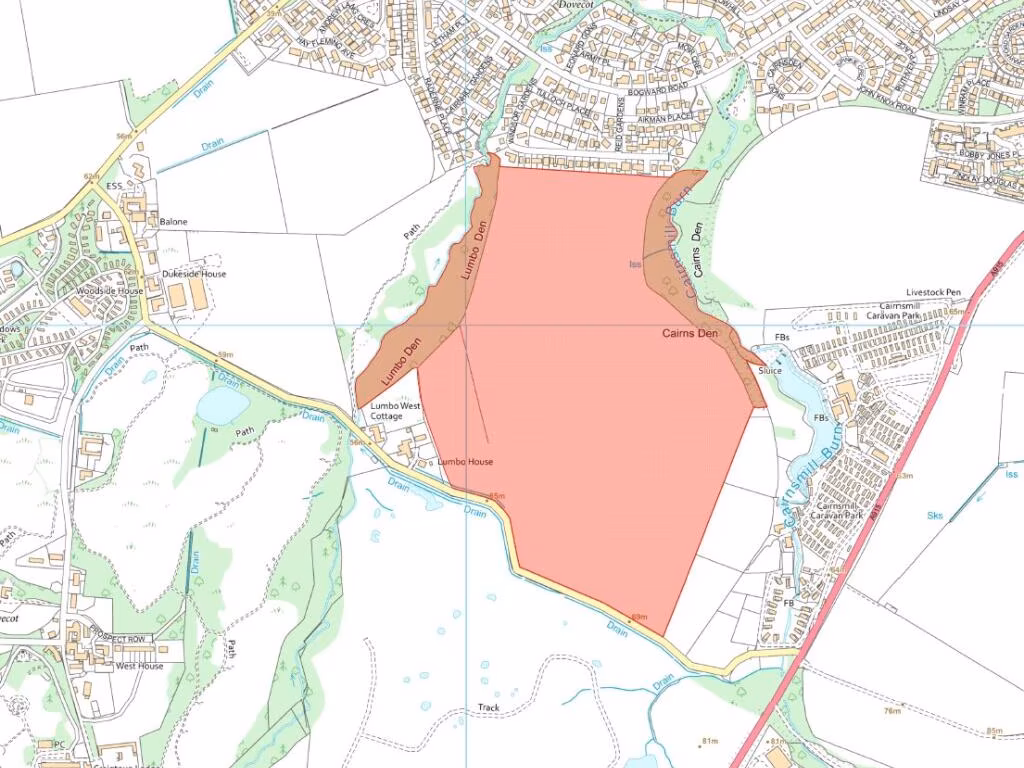
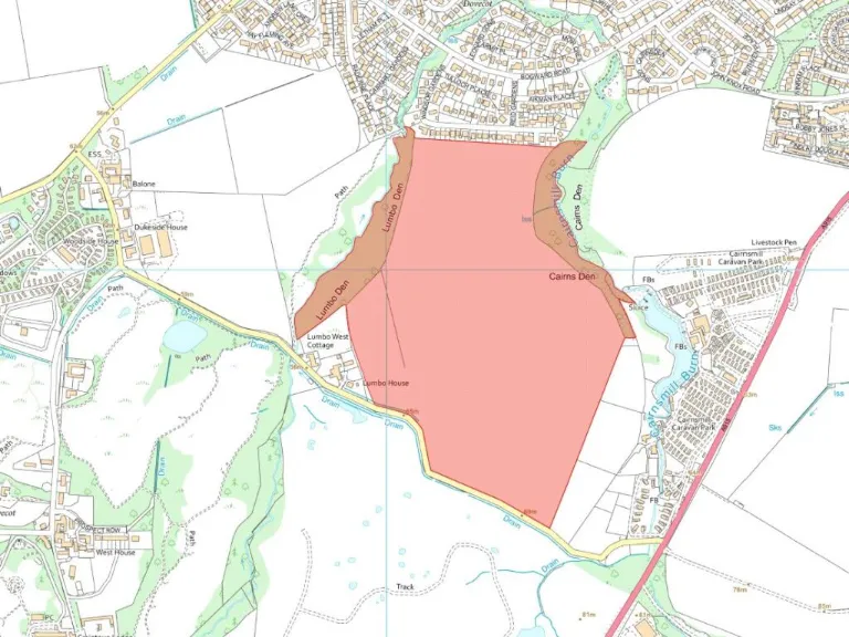
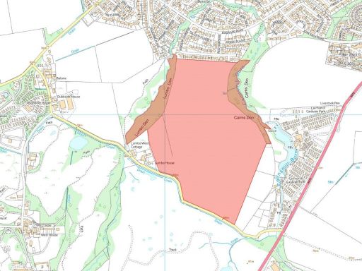
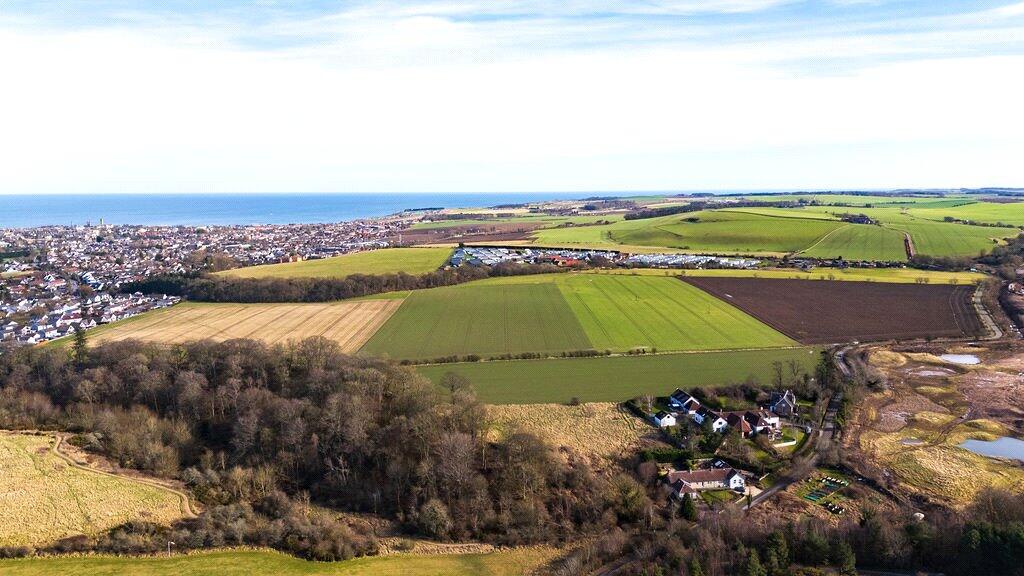
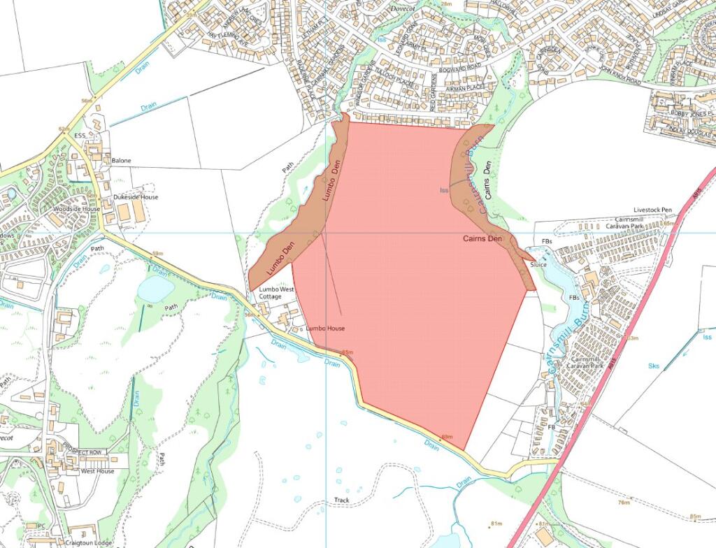
Total area ~87.36 acres (35.35 ha) sold as a whole.
Within St Andrews Green Belt and Local Landscape Area—planning restricted.
33% clawback payable if residential/commercial consent granted within 30 years.
Mains gas pipeline runs through northern land; title reflects servitude.
Wayleave income from power lines (last received £319 pa) continues.
BPS entitlements sold separately; 2025 payments retained by seller.
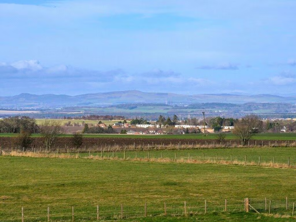
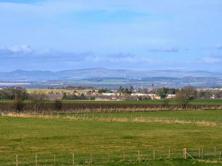
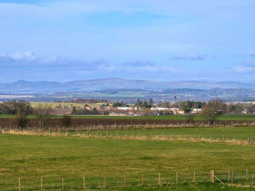
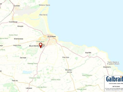
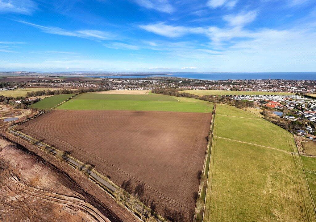
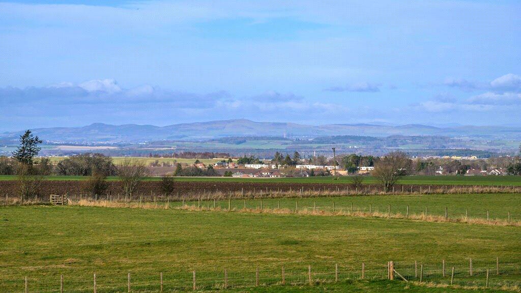
A substantial block of productive arable land on the southern edge of St Andrews, offered as a single lot of about 87.36 acres (35.35 ha). The majority (75.54 acres) is Grade 3.1 arable land in good condition, free draining and suited to modern cropping; a smaller 12.03-acre woodland block contains mixed species including oak and birch. Access is straightforward from a minor public road off the A915 and the site lies between 48m and 67m above sea level with generally level to gently sloping fields.
The holding is registered for IACS, lies within the Strathmore and Fife Nitrate Vulnerable Zone and currently has no agri-environment scheme. Timber, mineral and sporting rights are included insofar as they form part of the title; a wayleave from Scottish Power runs through the land and a mains gas pipeline is recorded in the title deeds. Basic Payment Entitlements (BPS) are available for separate negotiation; any 2025 scheme payments will be retained by the seller.
The land sits within the Local Landscape Area and the St Andrews Green Belt which will materially affect redevelopment prospects. Offers at existing use value will be conditional on a 33% clawback where planning permission for residential or commercial development is granted within 30 years. These constraints mean the property primarily suits farming, woodland management, diversification projects or long‑term landbanking, subject to obtaining any required consents.
Practical sale notes: possession on completion, 10% non-refundable deposit, closing date set for Thursday 31 July 2025 at 12 noon. Cropping and inputs on hand will be taken over at valuation on completion. Prospective buyers should carry out their own due diligence on title servitudes, gas pipeline location and planning potential before offer submission.
 Land for sale in Lot 2 Land & Shed At Northbank Farm, St. Andrews, Fife, KY16 — £700,000 • 1 bed • 1 bath • 2054 ft²
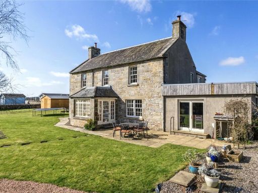 5 bedroom house for sale in Lot 1 Northbank Farmhouse, St. Andrews, Fife, KY16 — £680,000 • 5 bed • 3 bath • 3025 ft²
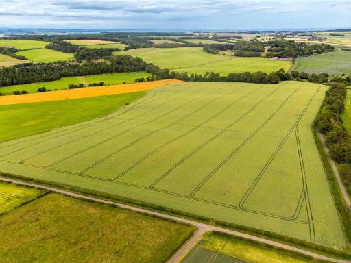 Land for sale in Land At Balbaird and Catherie, Balbaird, Leven, Fife, KY8 — £1,100,000 • 1 bed • 1 bath
 5 bedroom house for sale in Northbank Farm, St. Andrews, Fife, KY16 — £1,380,000 • 5 bed • 1 bath • 3025 ft²
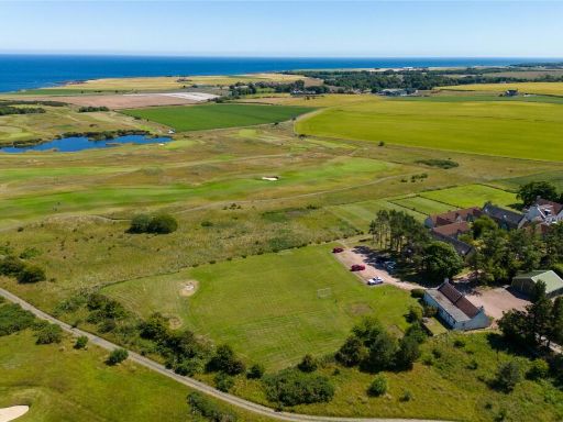 Land for sale in Development Land & Properties, Balmashie, St. Andrews, KY16 — £850,000 • 1 bed • 1 bath • 1719 ft²
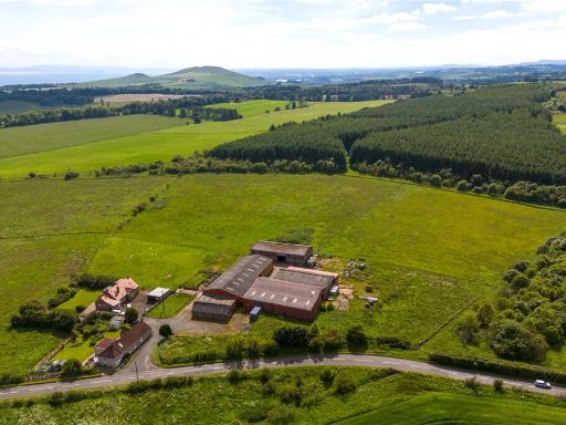 Land for sale in South Bowhill Farm, Peat Inn, Cupar, Fife, KY15 — £525,000 • 1 bed • 1 bath • 20598 ft²