Summary - Land by the Takmadoon Road, Carron Valley, Stirling FK6 5LU, Denny, FK6 FK6 5LU
1 bed 1 bath Land
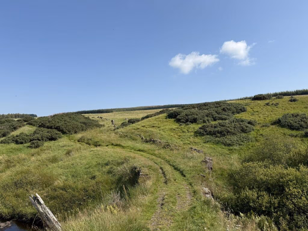
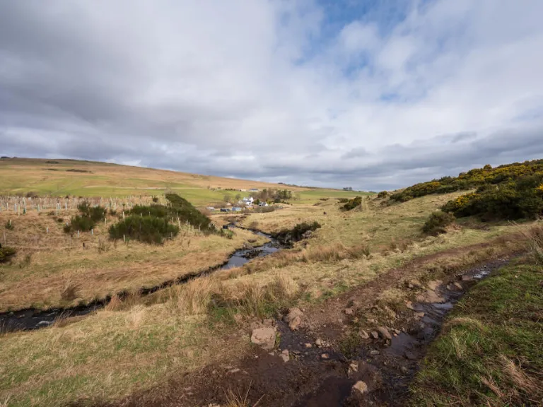
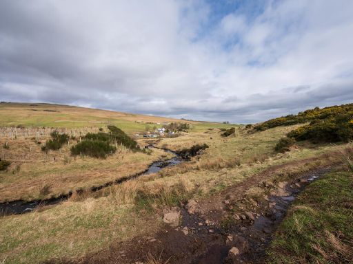
Extensive rural acreage with listed bridge and development prospects near reservoirs.
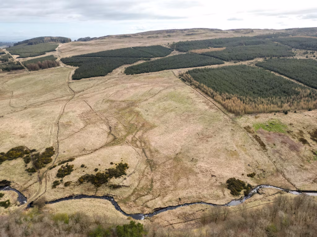
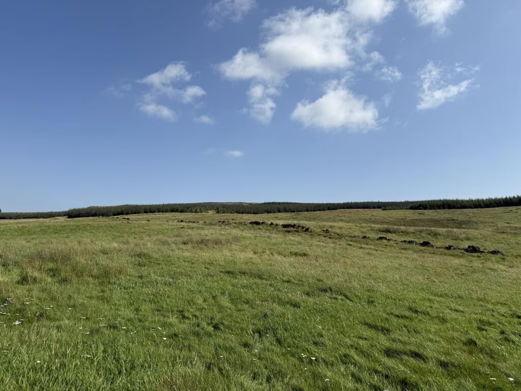
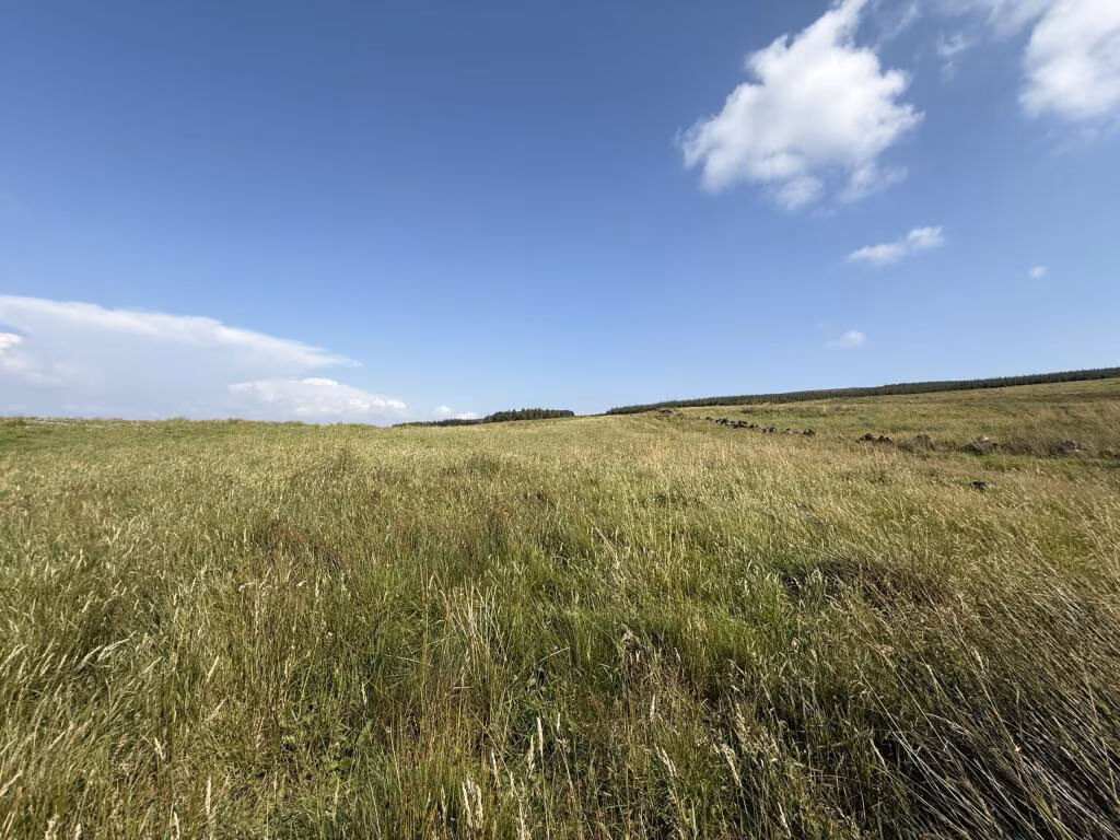
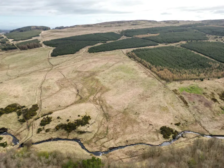
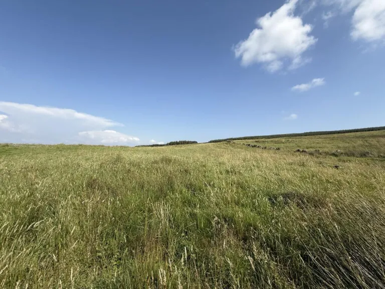
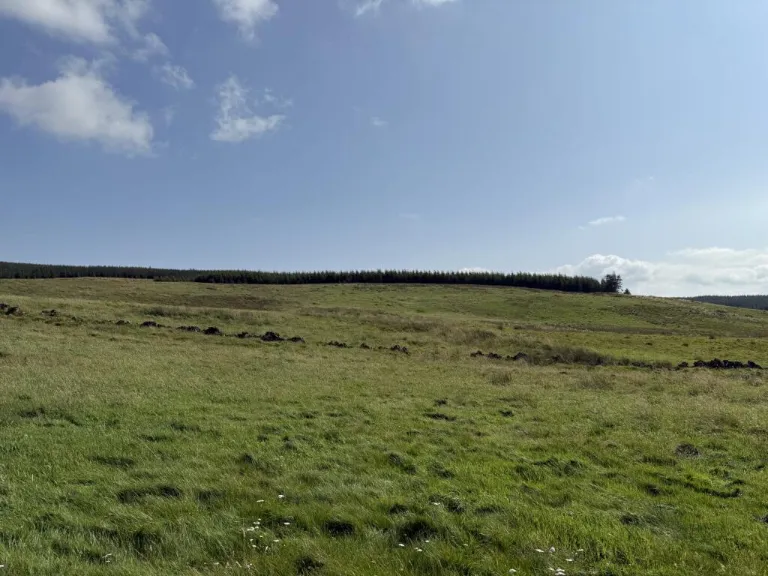
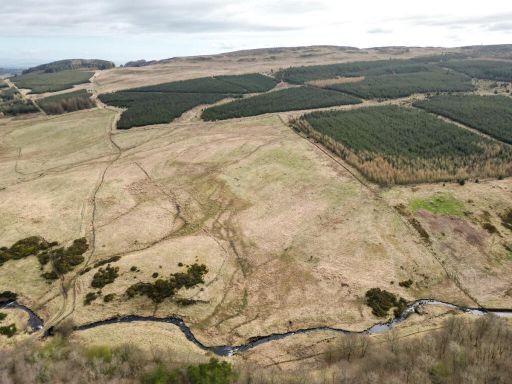
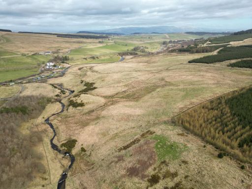
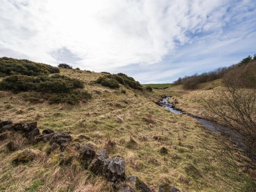
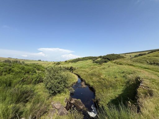
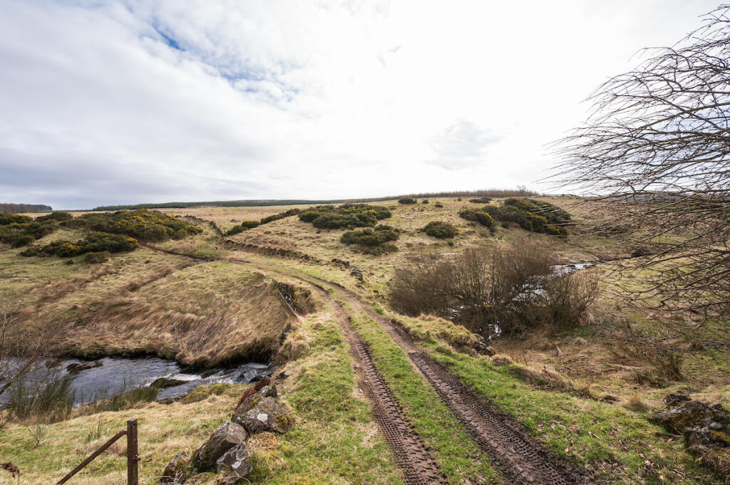
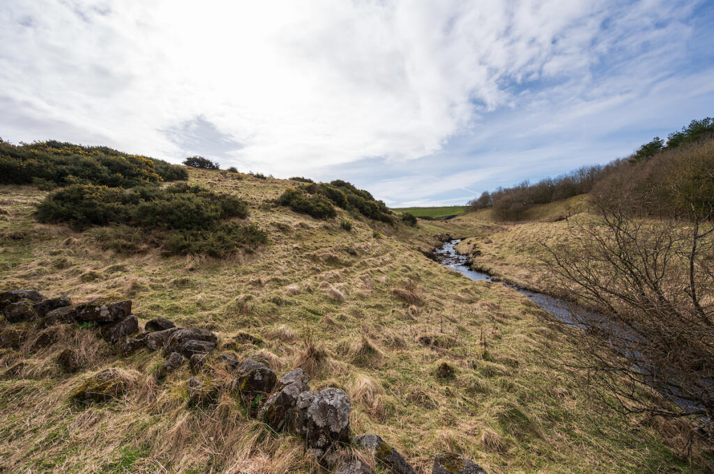
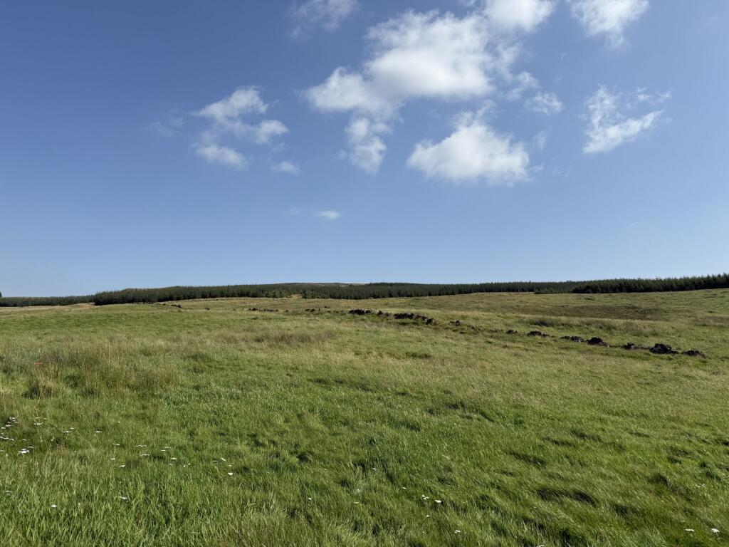
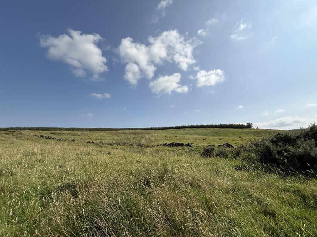
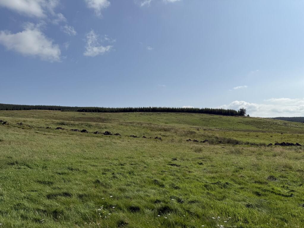
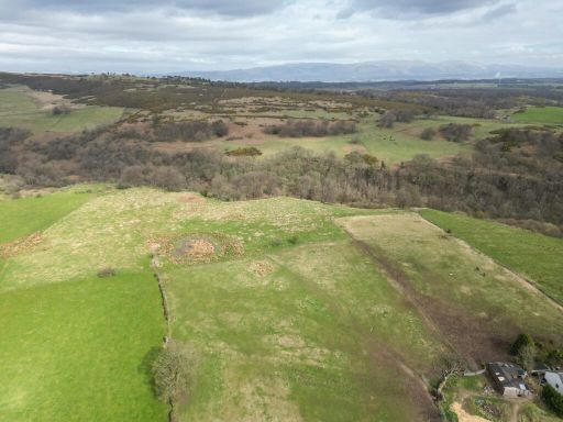
- 6.85 ha (16.95 acres) of rural land outlined in sales plan
- Agricultural class 5.2; forestry class F4 (James Hutton Institute)
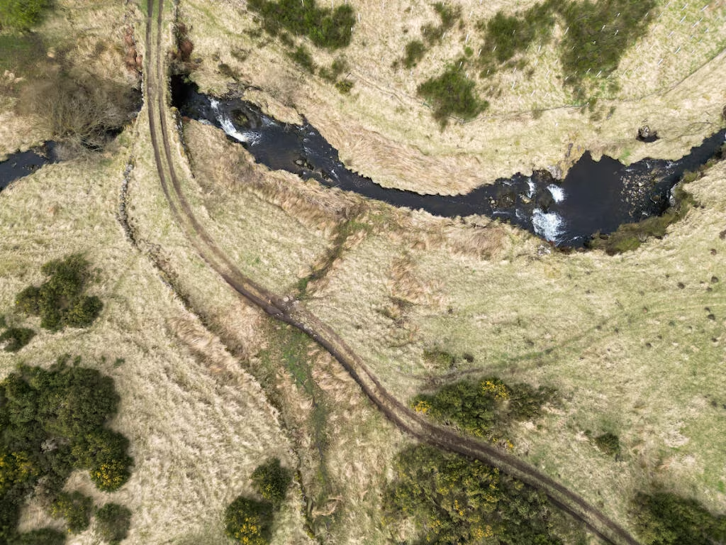
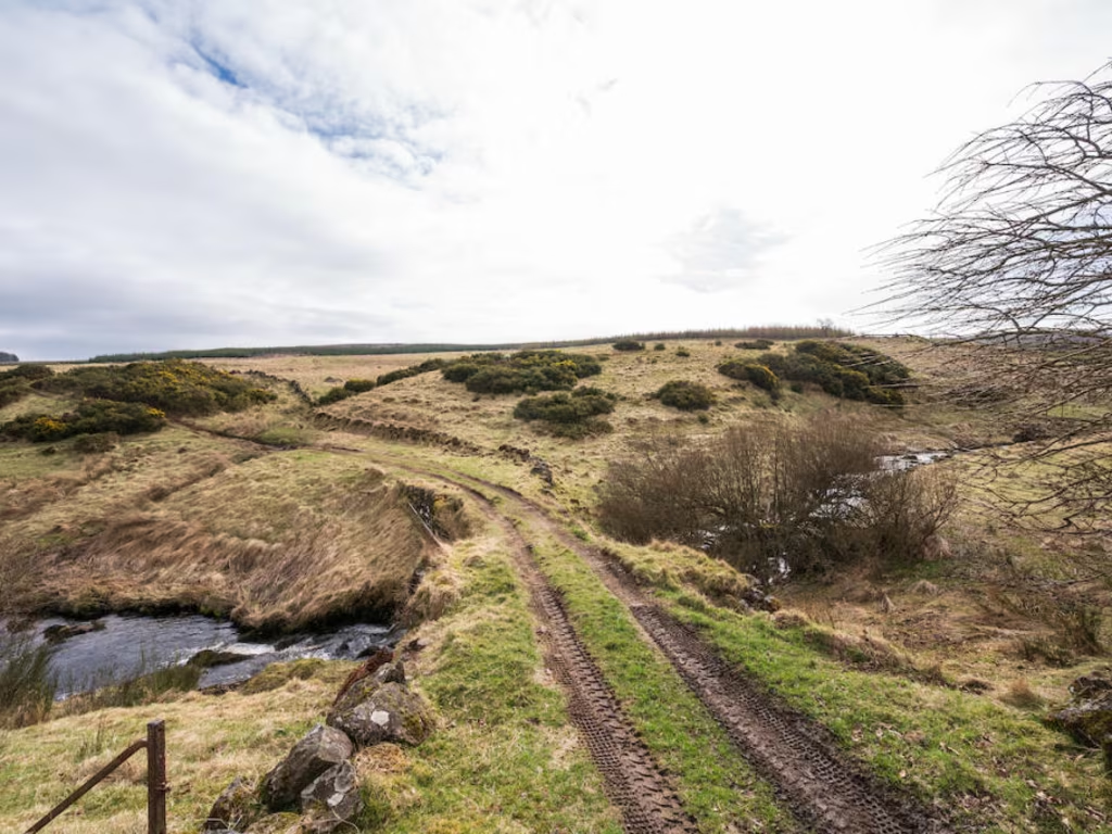
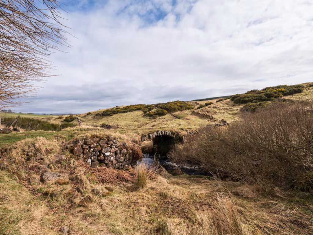
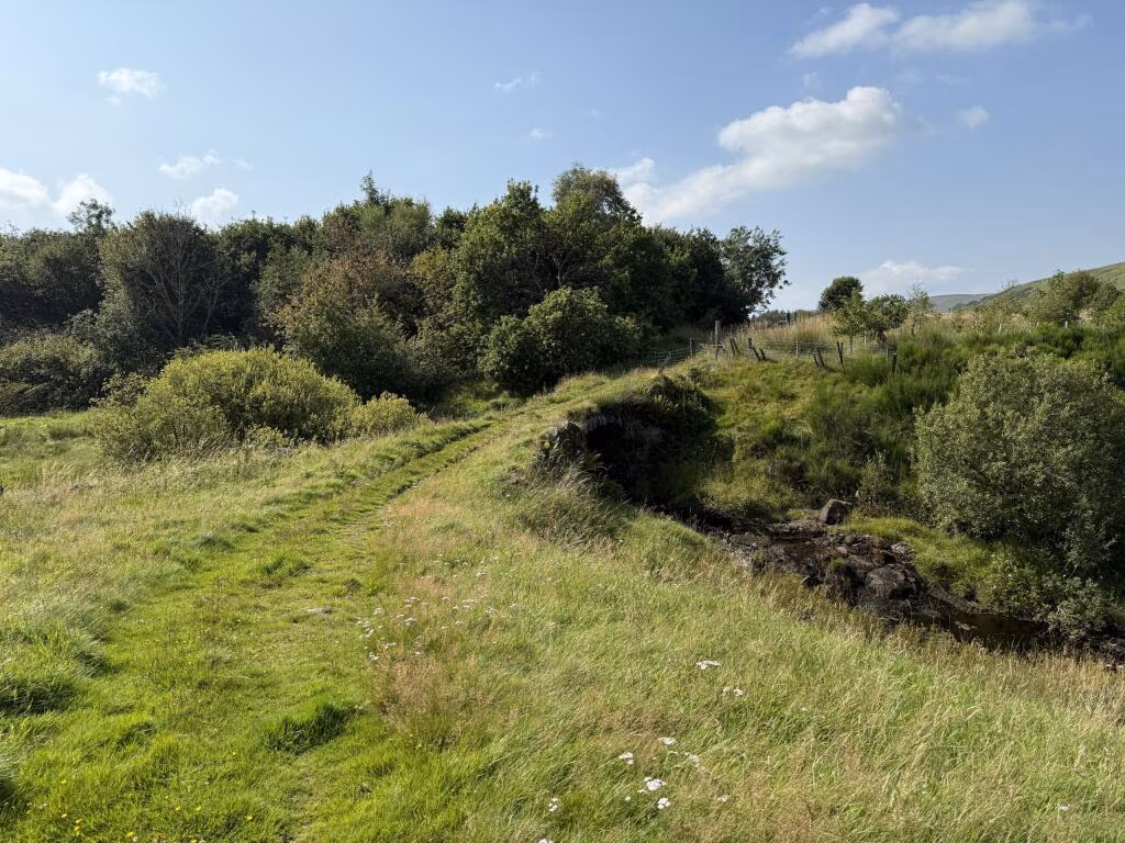
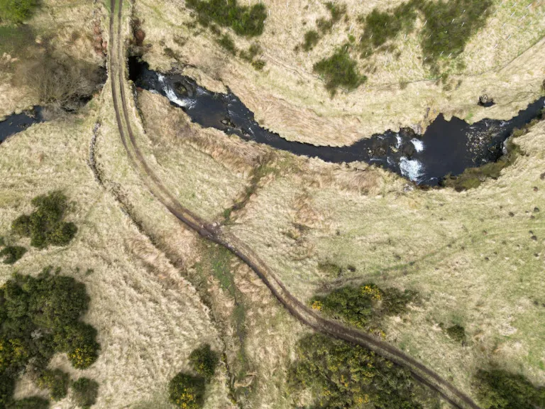
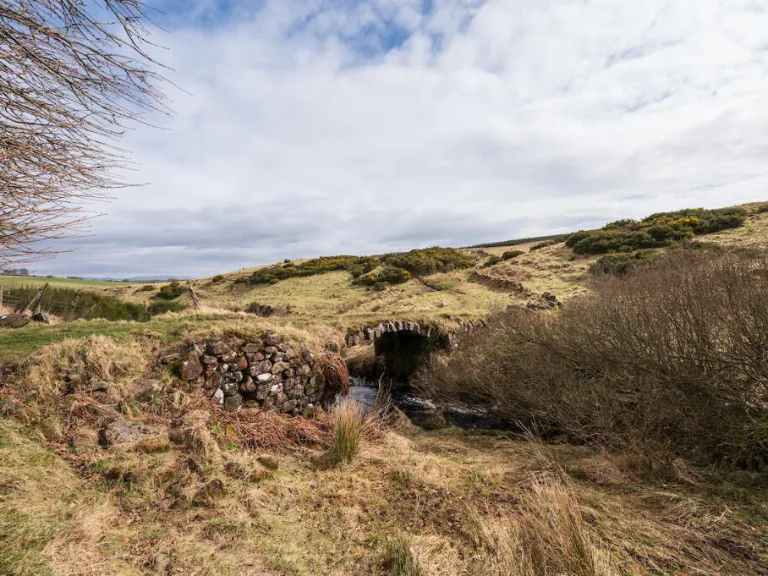
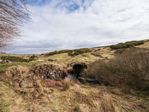
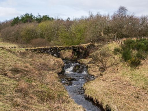
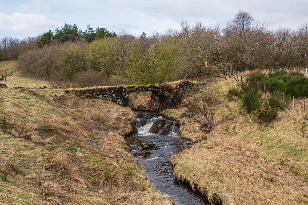
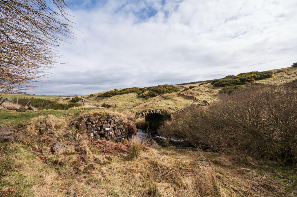
- B‑listed stone bridge over Faughlin Burn adds character and constraints
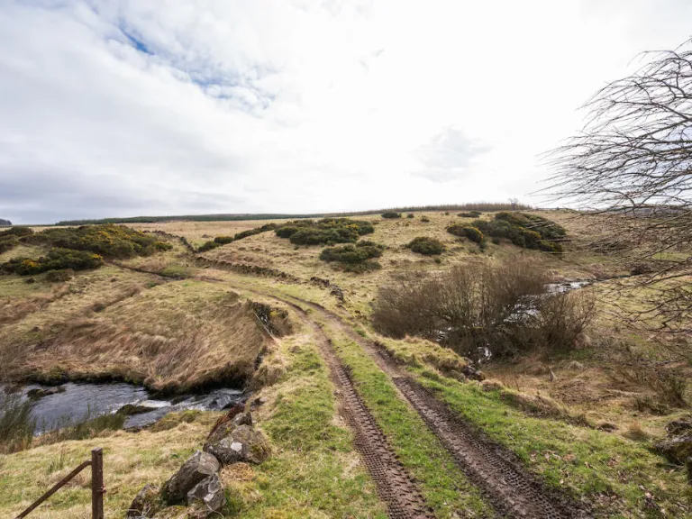
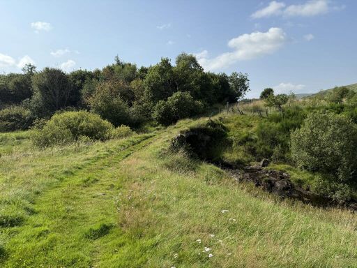
- Vehicular access in place; close to reservoir fishing and hutters
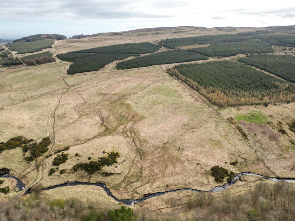
- Surface water flooding affects east and west boundaries (SEPA maps)
- No planning consents on this site; sold at auction; tenure unknown
- Very slow broadband; mobile signal average; area classified as very deprived
- Nearby 2023 consent for 12 huts shows potential precedent (P/23/0108/FUL)
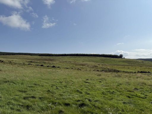
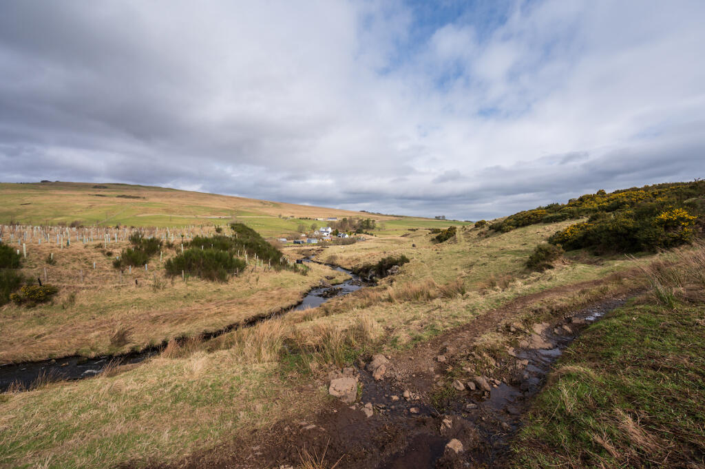
This 6.85-hectare (16.95-acre) parcel sits north-east of Denny, elevated at about 179m and bordered by a tributary with a charming B‑listed stone bridge over the Faughlin Burn. The site is classed as 5.2 for agriculture and F4 for forestry, with vehicular access and proximity to reservoir fishing and an established community of hutters nearby. Good road links (M9/M876/M80) place Falkirk, Stirling and wider transport connections within easy reach.
There are no planning consents on this specific field, and tenure is recorded as unknown; the land will be sold at auction. Surface water flooding affects the eastern and western boundaries, and broadband speeds are very slow. Recent consent for 12 huts on a neighbouring site (P/23/0108/FUL) indicates local precedent for low‑impact tourism development, but any similar use here would require formal planning approval.
This site may appeal to buyers seeking an agricultural holding, woodland creation or biodiversity net‑gain parcel, or a private owner exploring small‑scale tourism (shepherds’ huts/campsite) subject to consents. Local agricultural infrastructure—grain merchants, suppliers, machinery dealers and marts—is well established, supporting continued farming use. The B‑listed bridge and riverside setting provide genuine amenity value but come with conservation considerations.
 Land for sale in Land by Fankerton, Denny, FK6 5HJ, Denny, FK6 — £160,000 • 1 bed • 1 bath • 2583 ft²
 Farm for sale in Overton Farm, Denny, FK6 5JE, Denny, FK6 — £1,475,000 • 1 bed • 1 bath • 2489 ft²
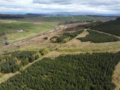 Land for sale in Topps Woodland Lot 2, Topps, Denny, FK6 — £250,000 • 1 bed • 1 bath
 Land for sale in , Land at Ardgay Road, Bonnybridge, FK42FL, FK4 — £1,000 • 1 bed • 1 bath
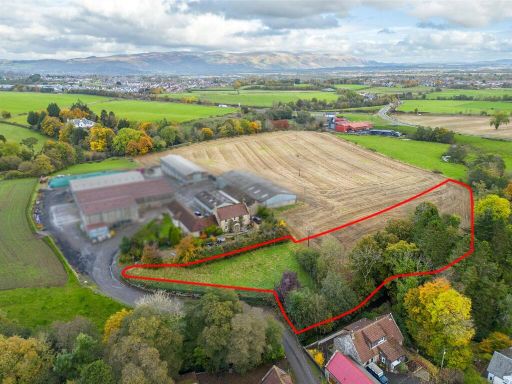 Detached house for sale in Sauchieburn, Stirling, Stirlingshire, FK7 — £125,000 • 1 bed • 1 bath • 1192 ft²
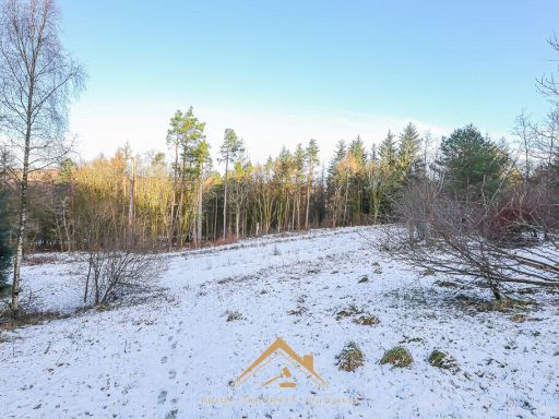 Land for sale in Land at Seafar Road, Cumbernauld, G67 1HP, G67 — £200,000 • 1 bed • 1 bath