Summary - LEAP MILL FARM, BUSTY BANK, NEWCASTLE UPON TYNE, BURNOPFIELD NE16 6BJ
1 bed 1 bath Land
Large freehold acreage with natural water and potential for long-term value uplift.
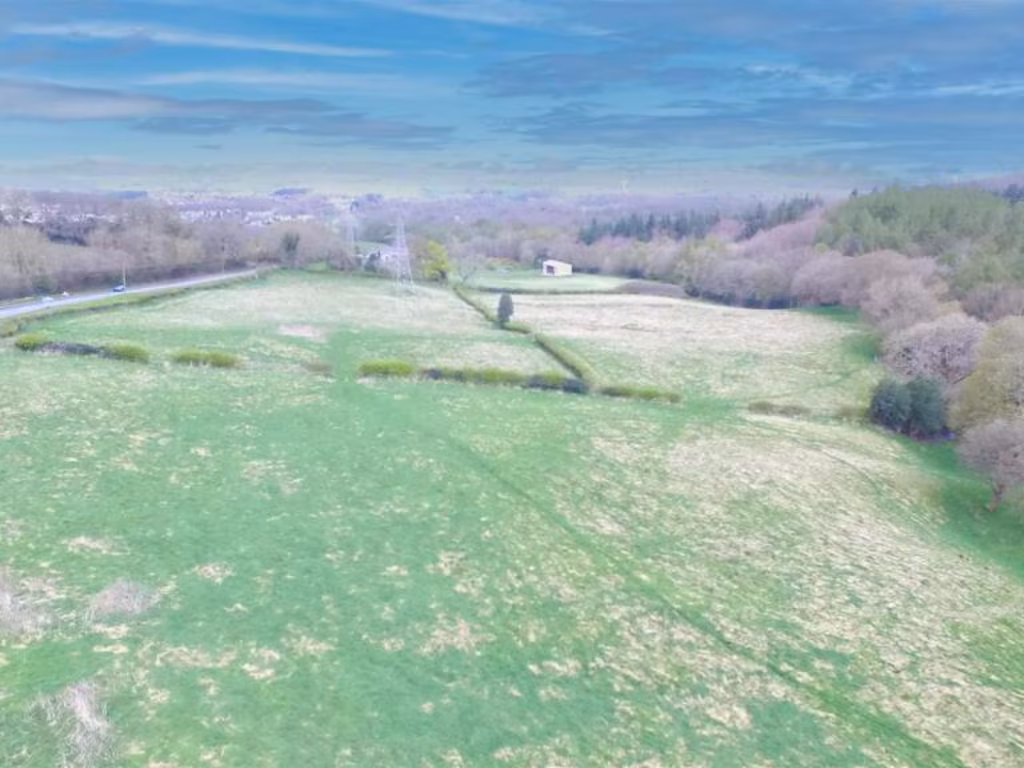
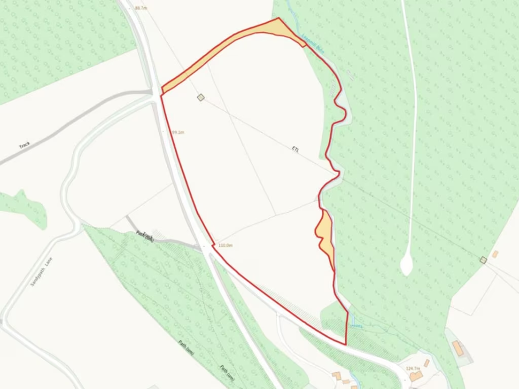
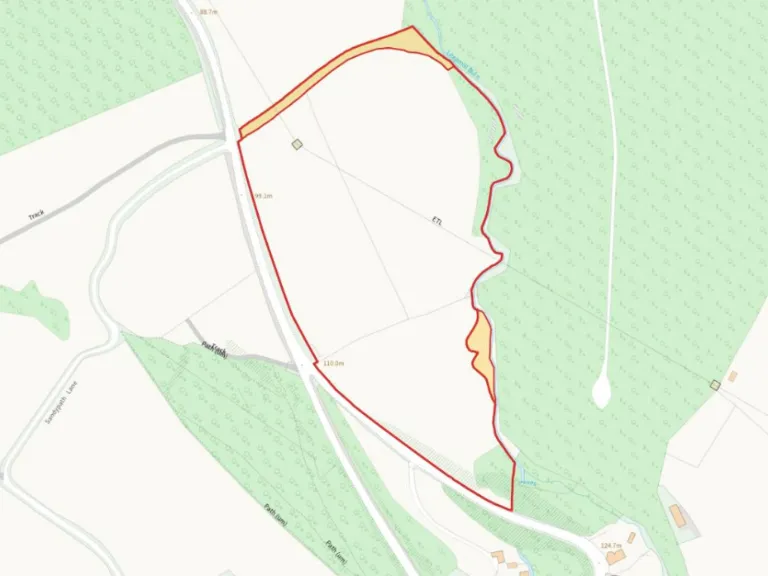
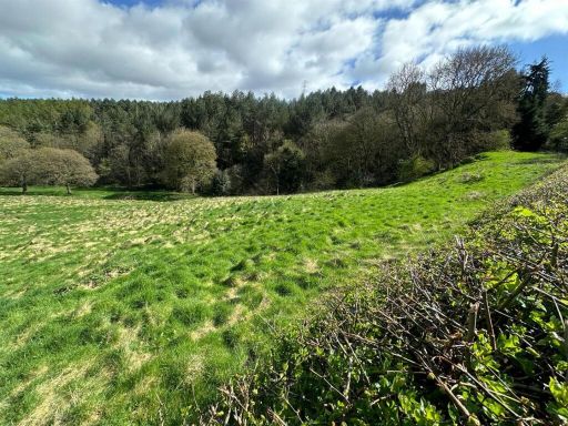
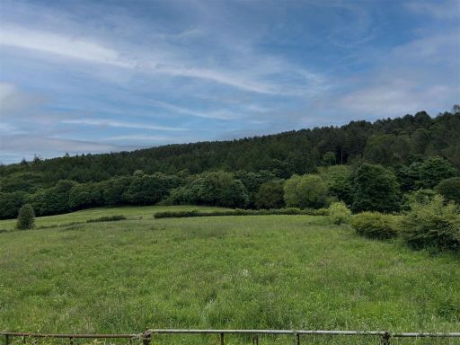
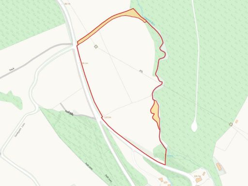
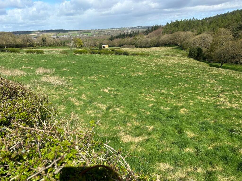
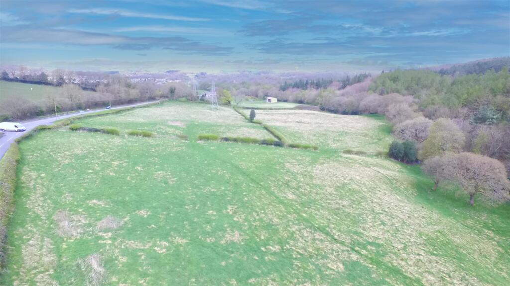
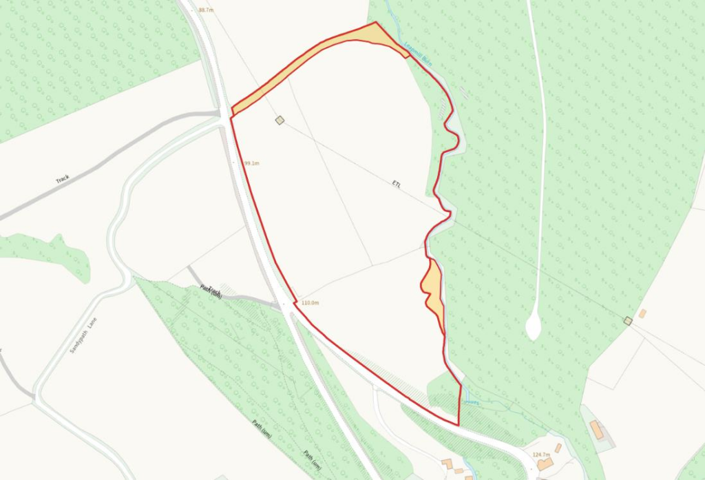
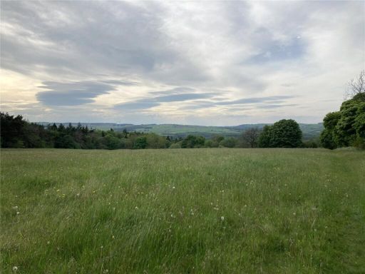
11.98 acres (4.85 ha) of productive grassland with roadside access
Natural water supply present to two field parcels
Two small field areas currently unregistered — buyer to verify title
Overhead electricity pylon and cable cross the land
Grade 3 land — moderate agricultural quality, not highly productive
Subject to overage on non-agricultural development (50% uplift, perpetual)
Freehold tenure; sold with existing rights, easements and wayleaves
Excellent mobile signal; recorded slow broadband speeds
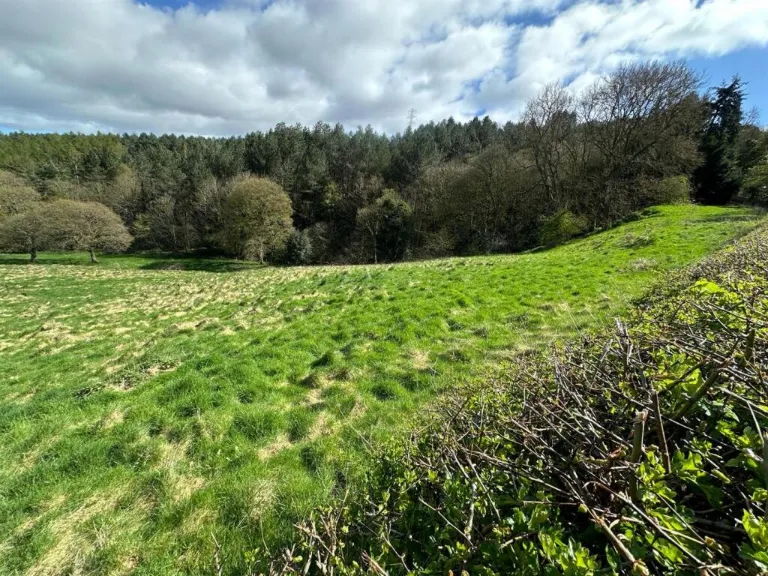
This 11.98-acre freehold block at Leap Mill Farm offers a substantial grassland holding close to Burnopfield, with roadside access and natural water to two parcels. The land is gently undulating, includes small areas of woodland and sits in a quiet hamlet setting—suitable for grazing, equestrian use or long-term land-banking.
There are practical constraints to note. Two small areas currently used as part of the fields are unregistered and should be clarified by a buyer. An overhead electricity pylon and cable cross the site and the land is classified as Grade 3, which affects intensive agricultural potential. Broadband is recorded as slow, though mobile signal is excellent.
The sale is freehold and offered whole or in two lots. It will be sold subject to existing rights, easements and wayleaves, and an overage agreement applies to any non-agricultural development (50% uplift in value, in perpetuity). Buyers should satisfy themselves on all legal, planning and title matters before purchase.
For a purchaser prepared to accept the listed encumbrances, the parcel represents a large, peaceful rural asset with natural water supply and scope for low-intensity agricultural use, amenity or strategic holding for future opportunity.
 Farm for sale in Consett, Durham, DH8 — £295,000 • 1 bed • 1 bath
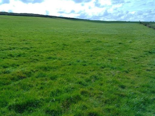 Land for sale in Land near Hedley, Hedley on the Hill, Chopwell, Newcastle Upon Tyne, NE17 — £145,000 • 1 bed • 1 bath
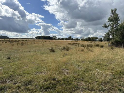 Land for sale in Land at Chapmans Well, Burnhope Road, Maiden Law, Lanchester, Durham, DH7 — £180,000 • 1 bed • 1 bath
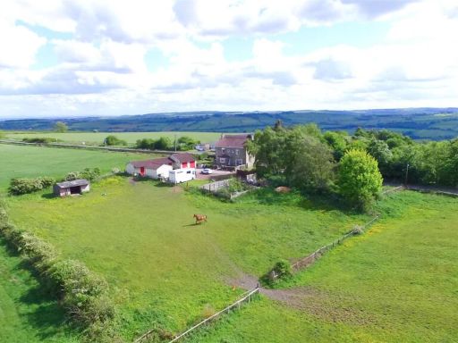 4 bedroom farm house for sale in Try 'Em All Farm, Langley Lane, Burnhope, DH7 — £500,000 • 4 bed • 2 bath • 1435 ft²
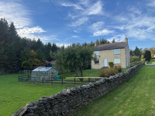 3 bedroom farm house for sale in Fair View, Rippon Burn, DH8 — £615,000 • 3 bed • 1 bath • 1256 ft²
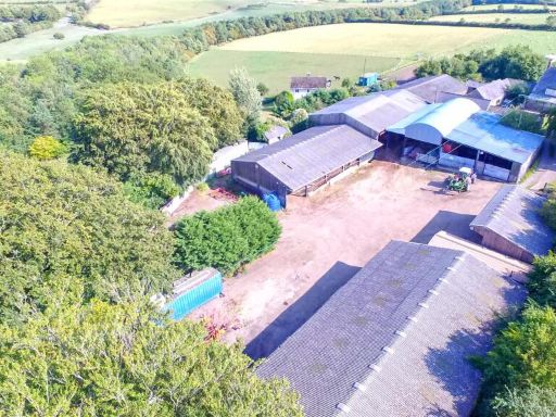 Farm for sale in Low Brooms Farm Buildings & Land, Leadgate, DH8 — £850,000 • 1 bed • 1 bath • 29587 ft²