Summary - Derby, Derbyshire DE65 6EG
1 bed 1 bath Land
Extensive arable and woodland holding with strong access and farming potential.
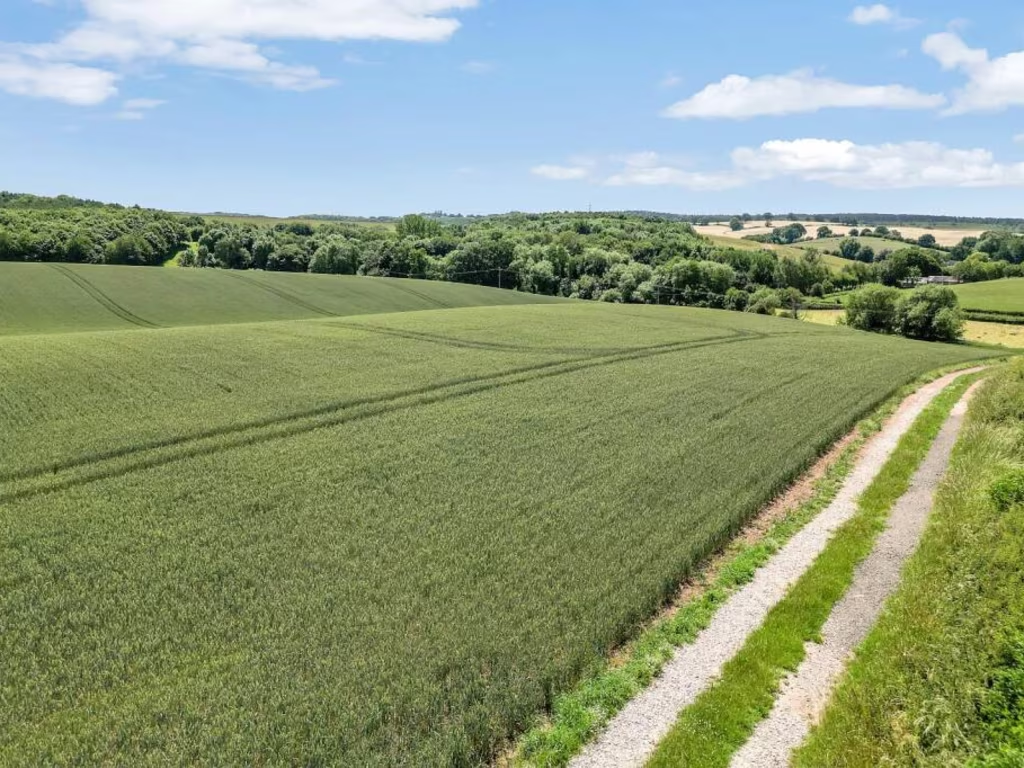
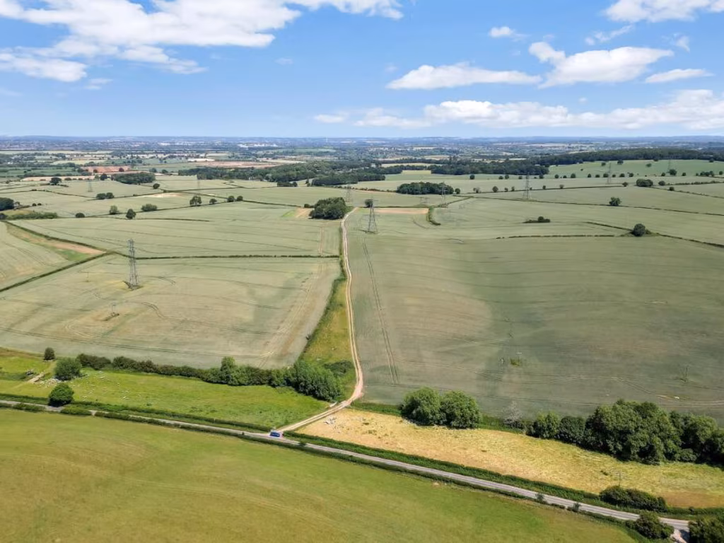
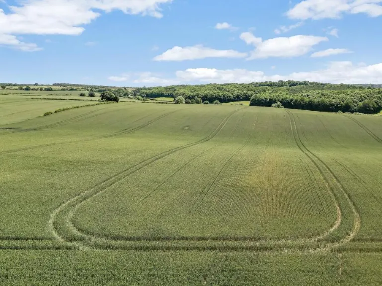
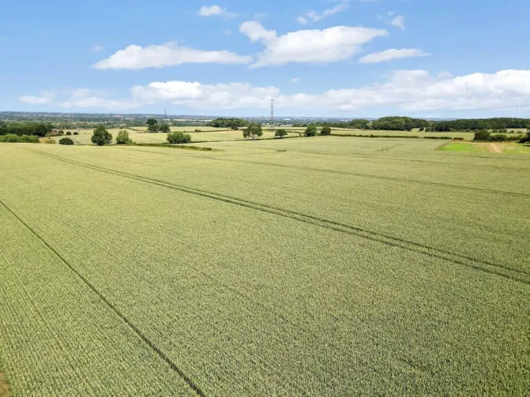
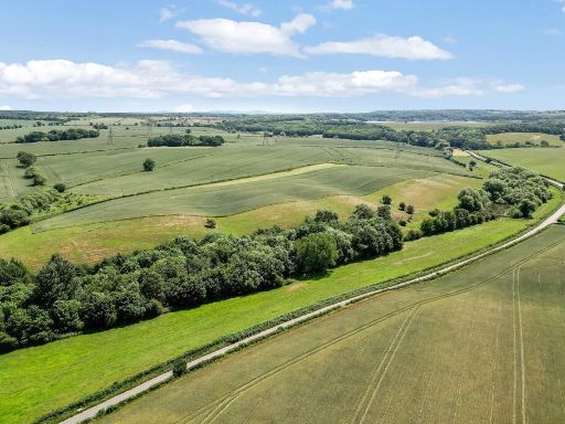
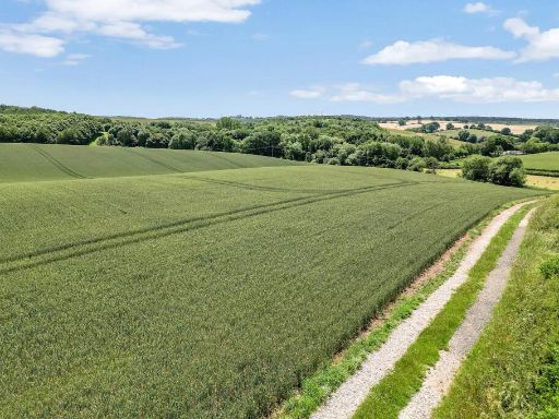
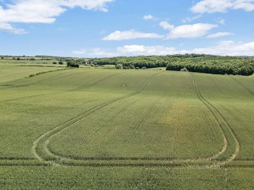
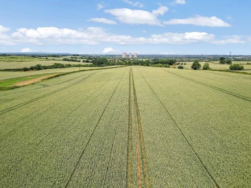
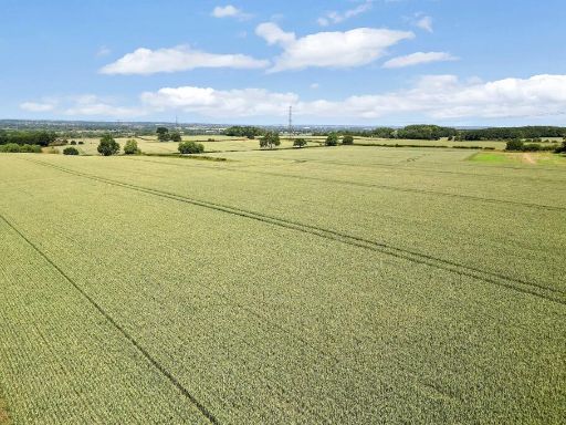
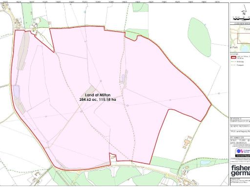
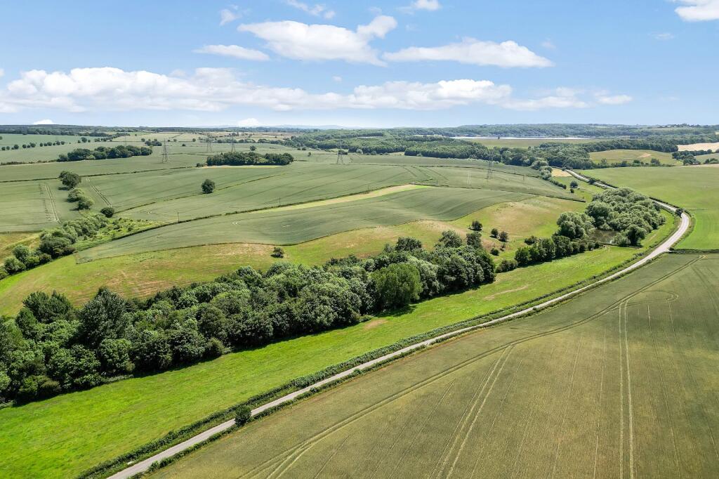
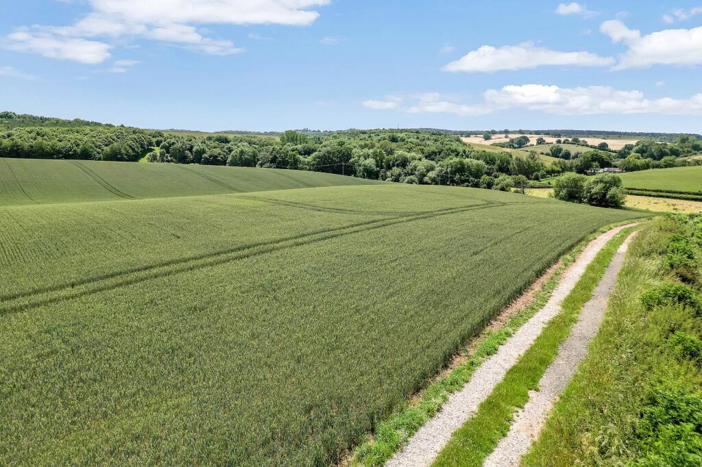
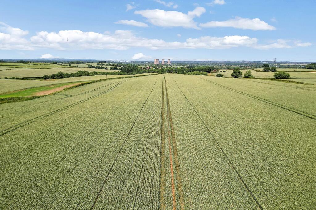
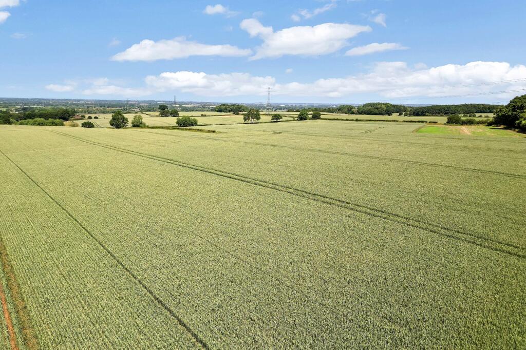
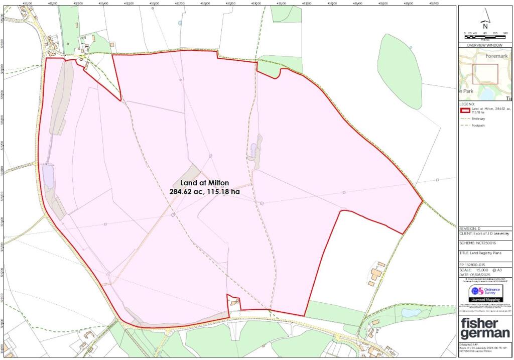
Ring‑fenced 284.62 acres (115.18 ha) of mainly Grade 2 arable land
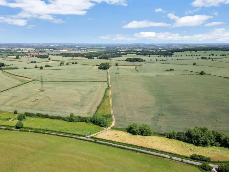
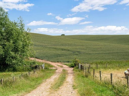
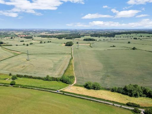
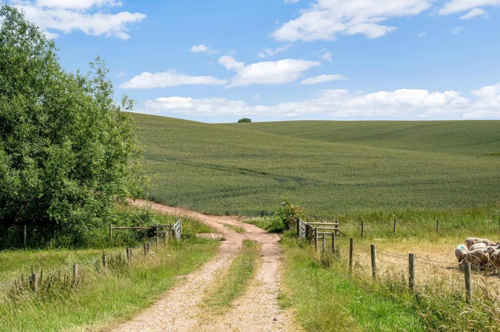
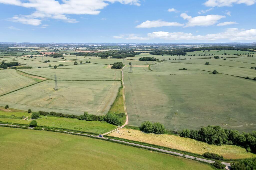
Multiple highway access points and good internal farm tracks
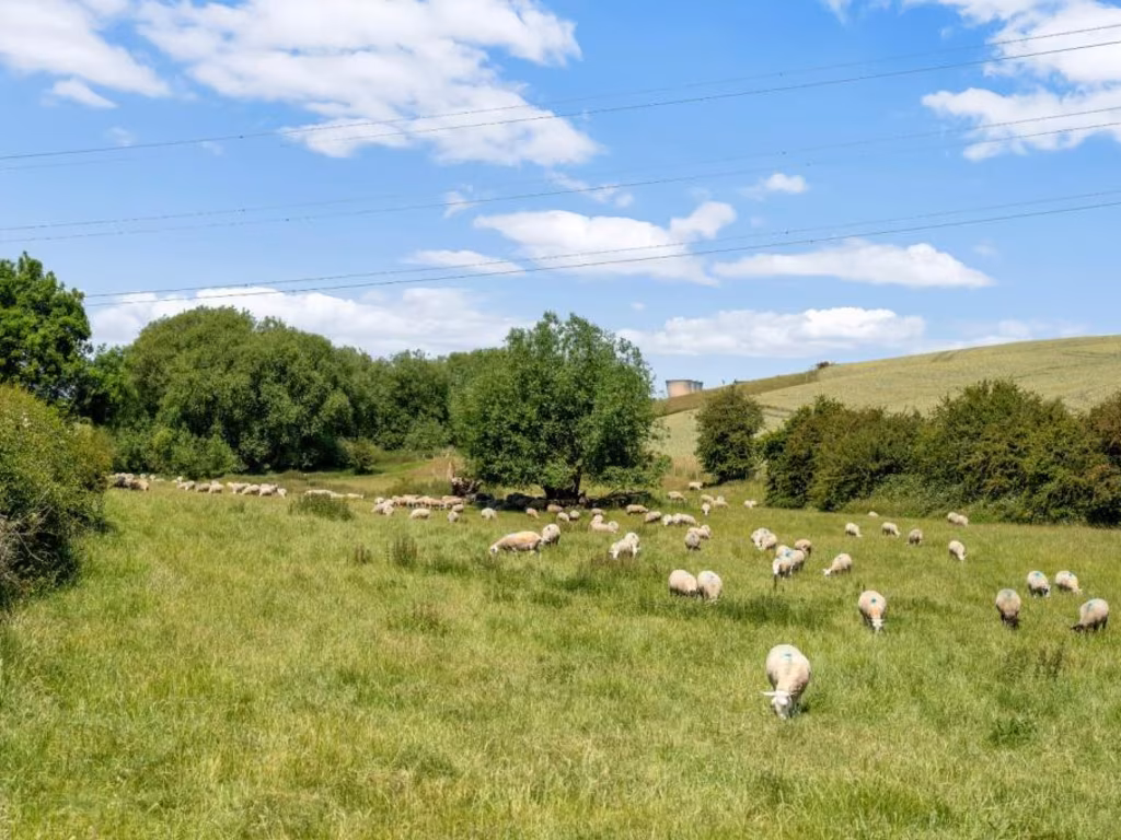
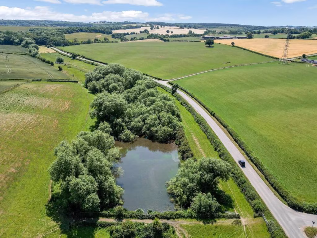
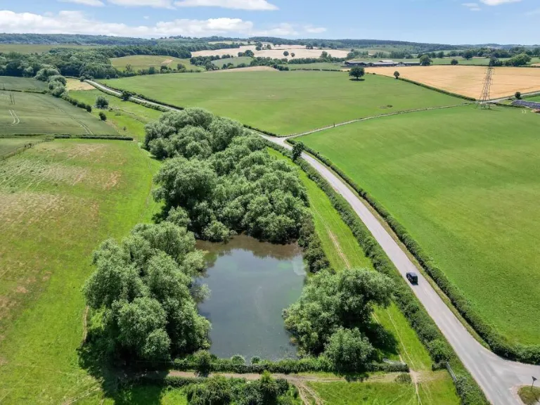
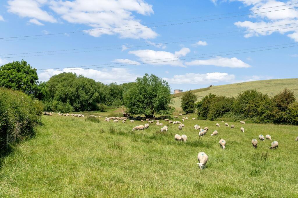
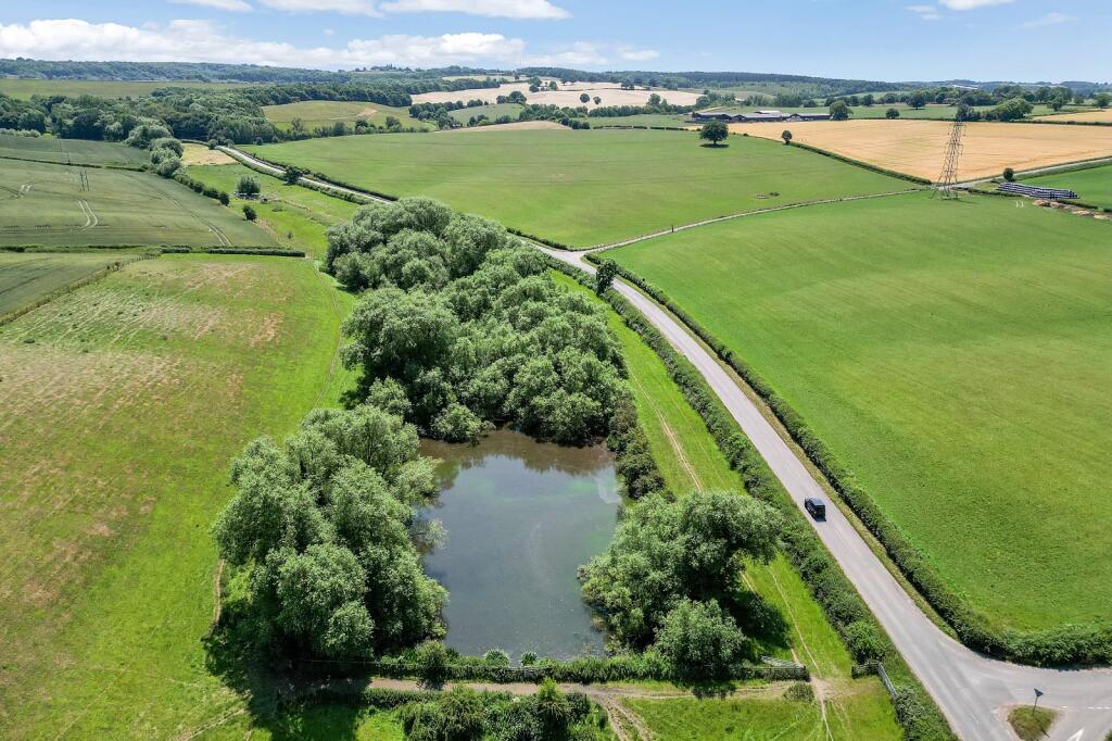
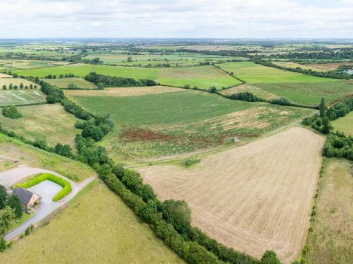
Includes permanent grassland, mature hedgerows and shelterbelt woodland
Currently cropped with second wheat; ingoing crop valuation may be required
Part within NVZ; part in Countryside Stewardship until 2028 (options transfer)
Small area in Flood Zones 2 and 3 alongside the brook
Mineral rights reserved to third party; sporting and timber rights transfer
Subject to overage/ uplift provision and VAT payable on sale
A rare, ring‑fenced block of productive Grade 2 arable land extending to about 284.62 acres (115.18 ha) close to Repton and Foremark Reservoir. The holding is predominantly arable with well‑drained, freely draining loamy and sandy soils, established hedgerows, shelterbelt woodlands and permanent grass used for grazing. Multiple highway access points and good internal tracks make the block highly accessible for farm operations and contractors.
This lot suits an active farmer, investor or equestrian user seeking a large, contiguous block with immediate cropping potential. The land currently carries a second wheat crop; an ingoing crop valuation may be required depending on completion date. The property is sold freehold with vacant possession, though part is subject to a grazing licence and some stewardship obligations that will transfer to the purchaser on completion.
Key constraints are factual and material: a small area adjacent to the brook falls within flood zones 2 and 3; the holding lies inside a Nitrate Vulnerable Zone (NVZ); mineral rights are reserved to a third party; VAT is payable in addition to the purchase price; and the land is subject in part to an overage/ uplift provision and existing stewardship schemes (Countryside Stewardship until 2028). Prospective buyers should satisfy themselves on services, boundaries, and any wayleaves or rights of way before offer.
Overall, this is a large, well‑positioned agricultural investment with immediate productive use and long‑term potential, but it carries typical rural sale conditions (stewardship take‑over, overage, minerals reservation and NVZ restrictions) that buyers must factor into valuation and future planning.
 Land for sale in Land North of Kings Newton, Nr Melbourne, DE73 — £1,400,000 • 1 bed • 1 bath
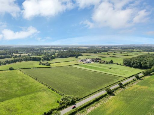 Land for sale in Hoar Cross, Burton-on-Trent, Staffordshire, DE13 — £1,215,000 • 1 bed • 1 bath
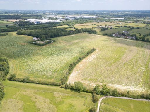 Land for sale in Watery Lane, Scropton, Derby, Derbyshire, DE65 — £725,000 • 1 bed • 1 bath
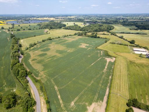 Land for sale in Watery Lane, Scropton, Derby, Derbyshire, DE65 — £1,700,000 • 1 bed • 1 bath
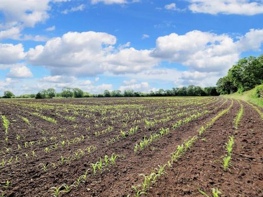 Land for sale in Land at Castle Donnington, DE74 — £145,000 • 1 bed • 1 bath
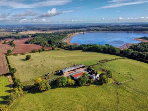 4 bedroom farm house for sale in Fairview Farm, Repton Shrubs, DE15 — £1,500,000 • 4 bed • 3 bath • 1376 ft²