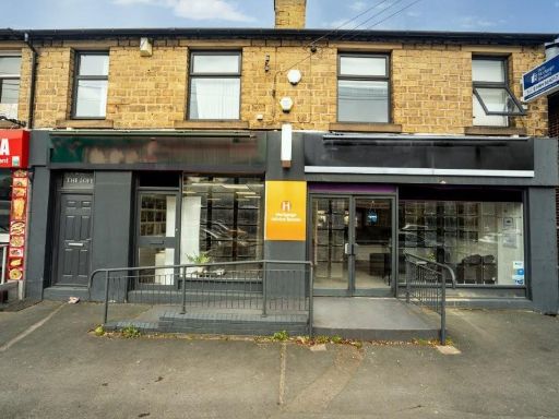
HD4 7EX - Commercial property for sale in Meltham Road, Huddersfield,…
View on Property Piper
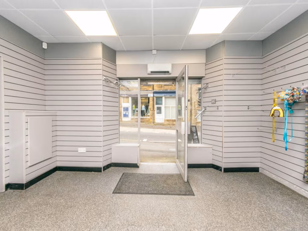
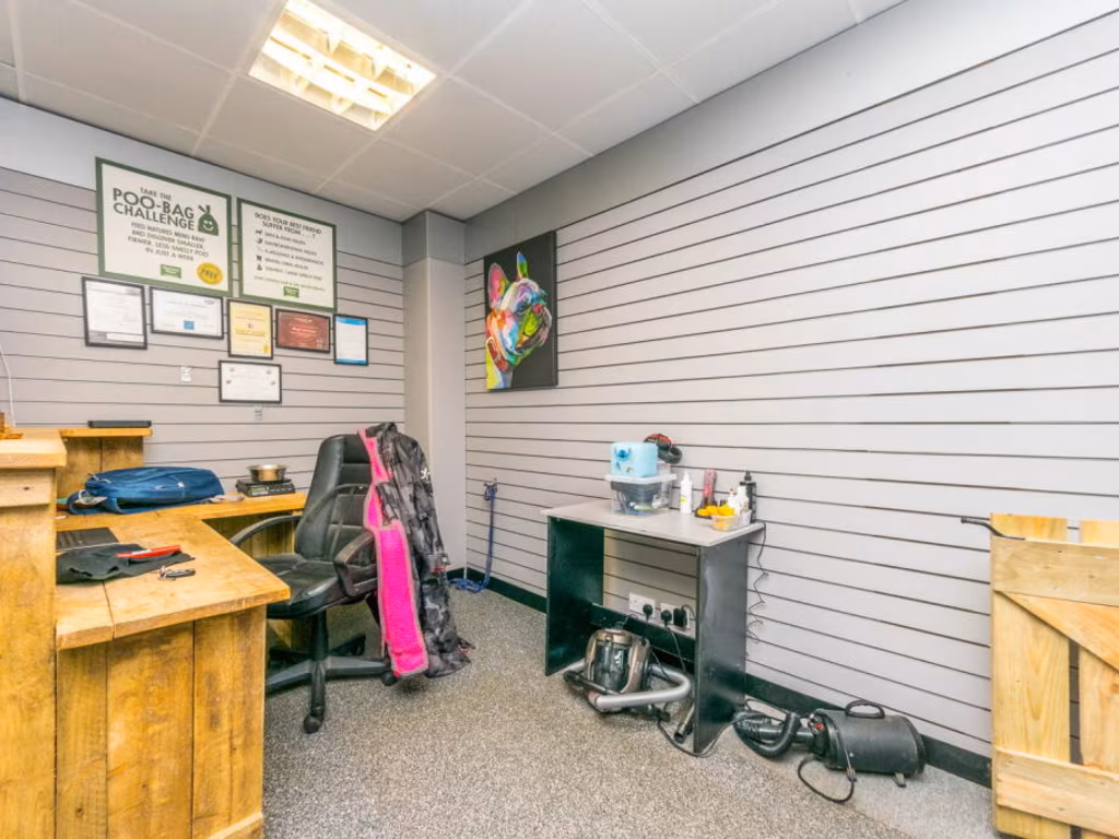
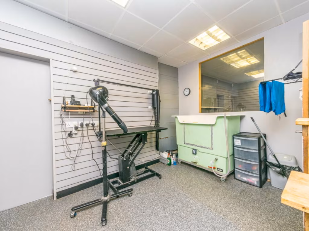
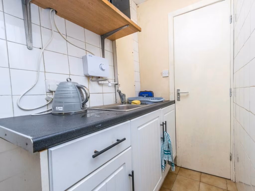
Commercial property for sale in Meltham Road, Huddersfield, HD4 7EX, HD4
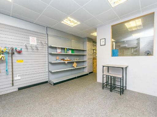
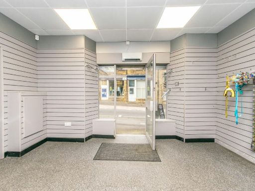
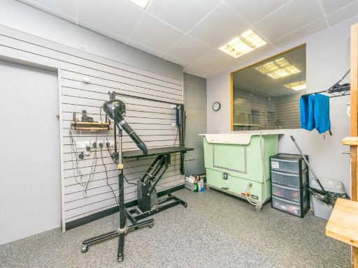
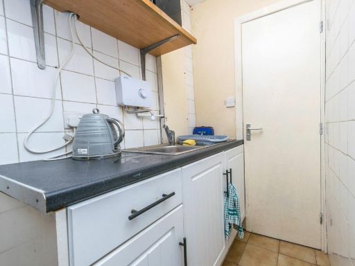
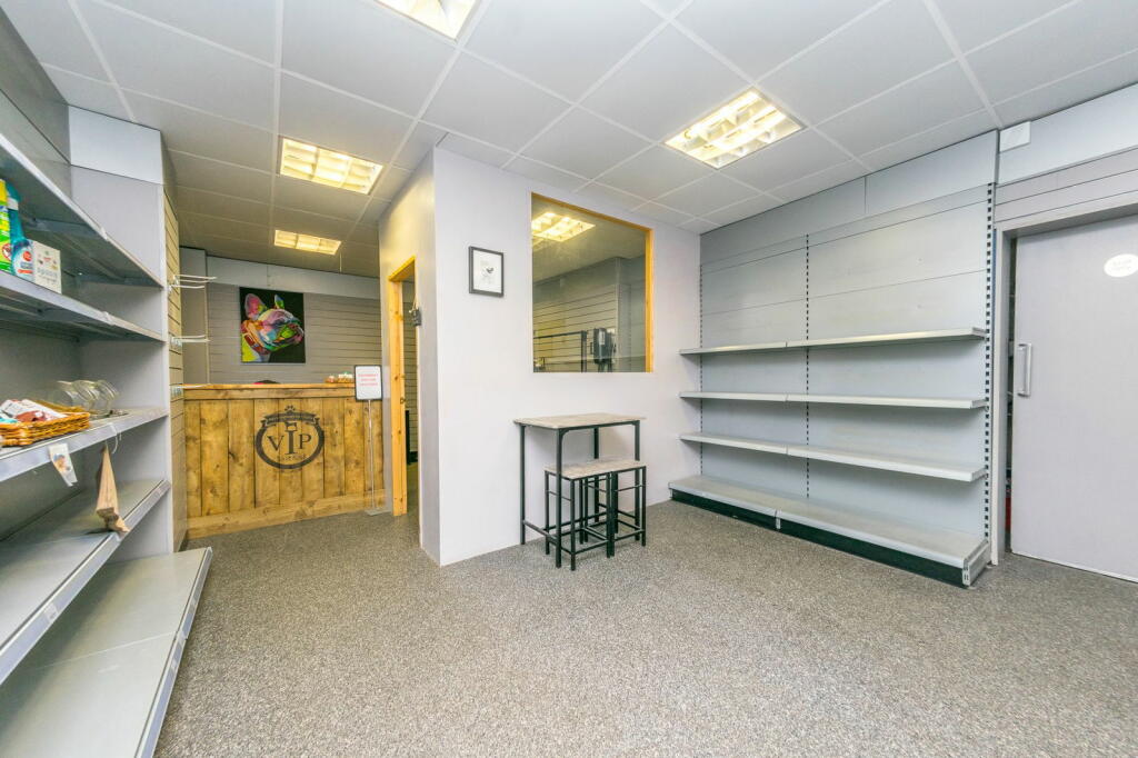
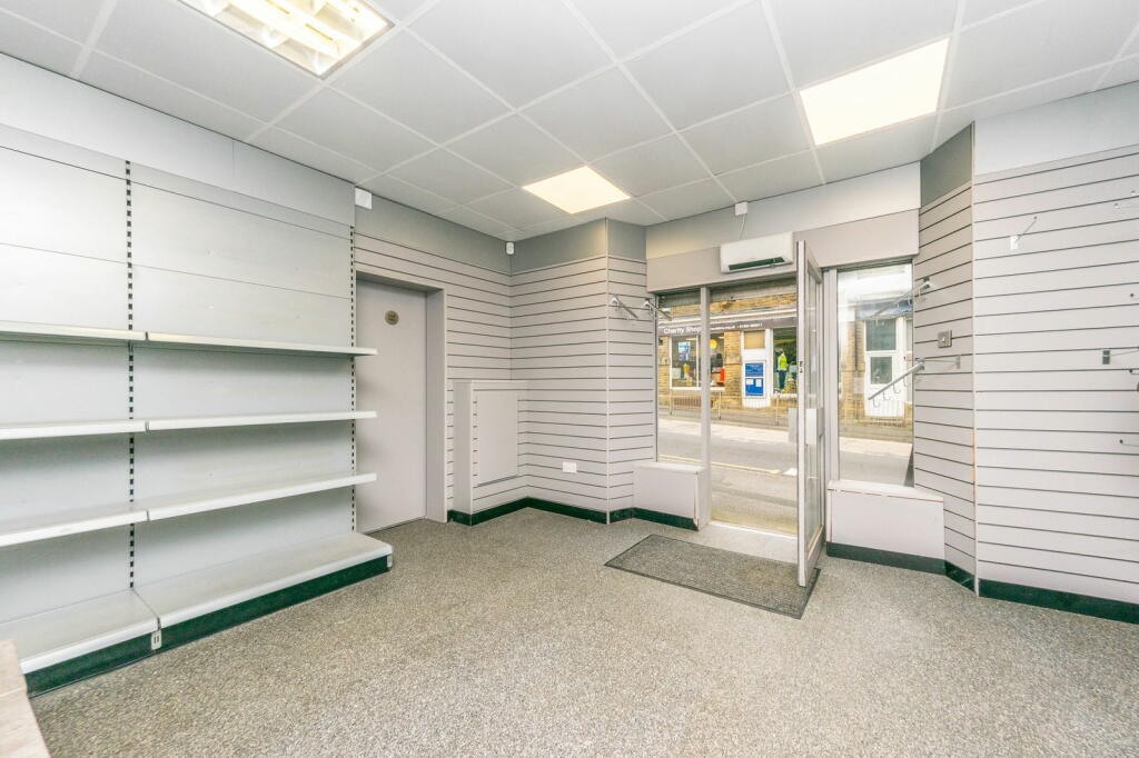
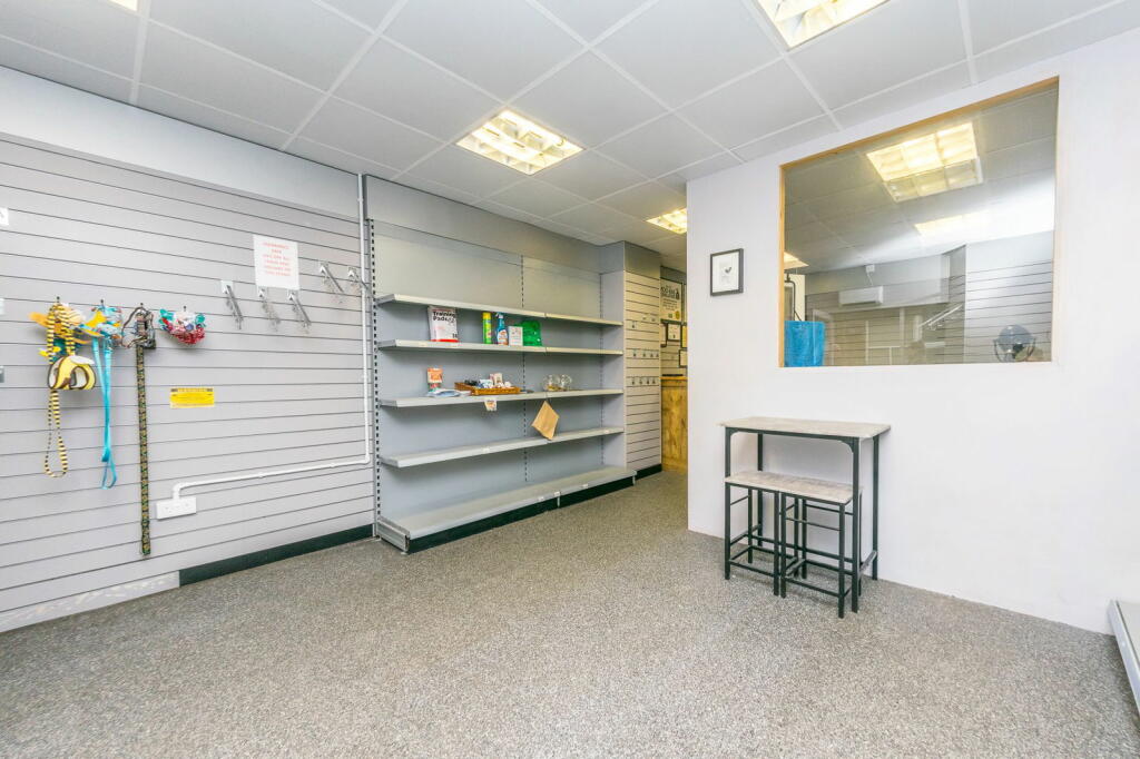
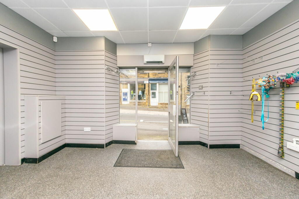
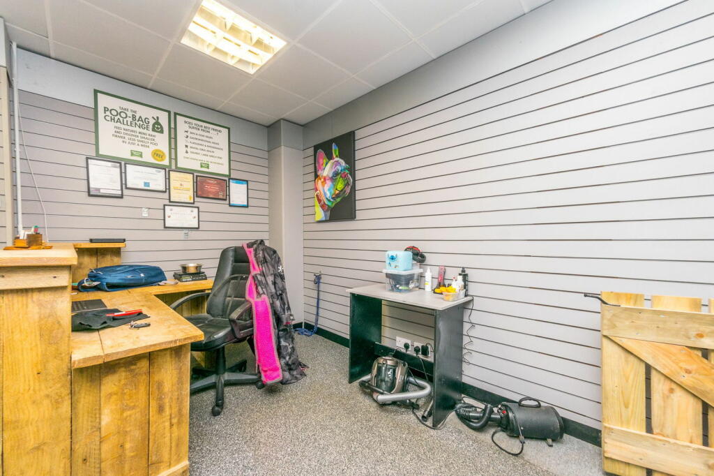
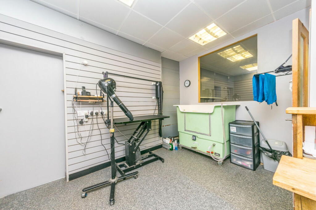
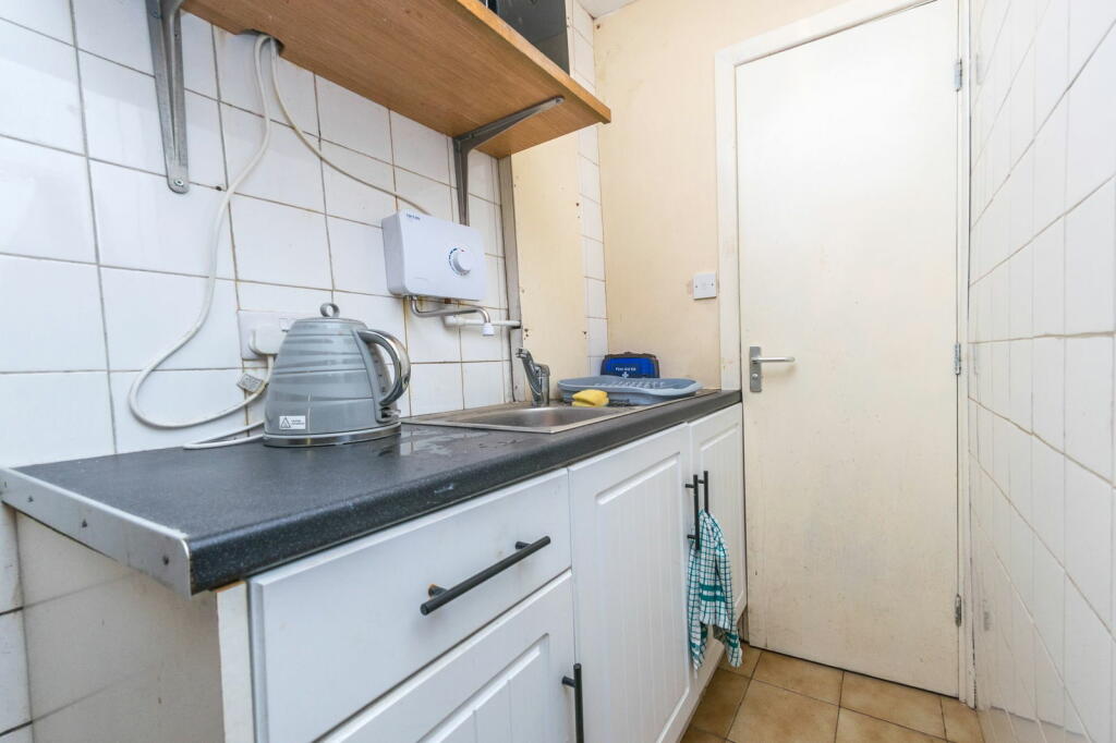
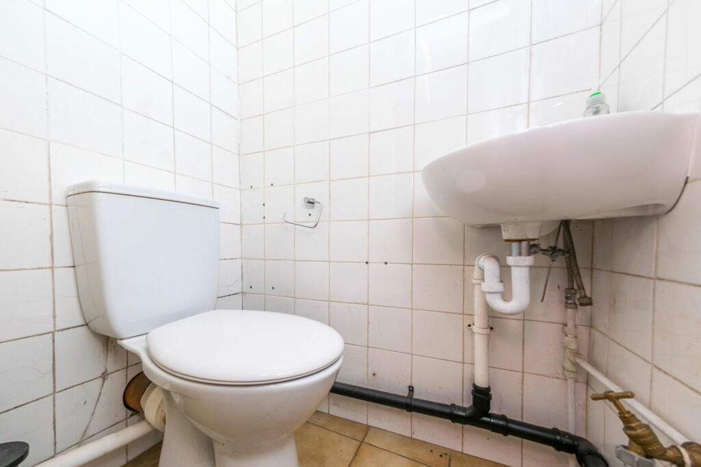
Property Details
- Price: £190000
- Bedrooms: 3
- Bathrooms: 1
- Property Type: undefined
- Property SubType: undefined
Image Descriptions
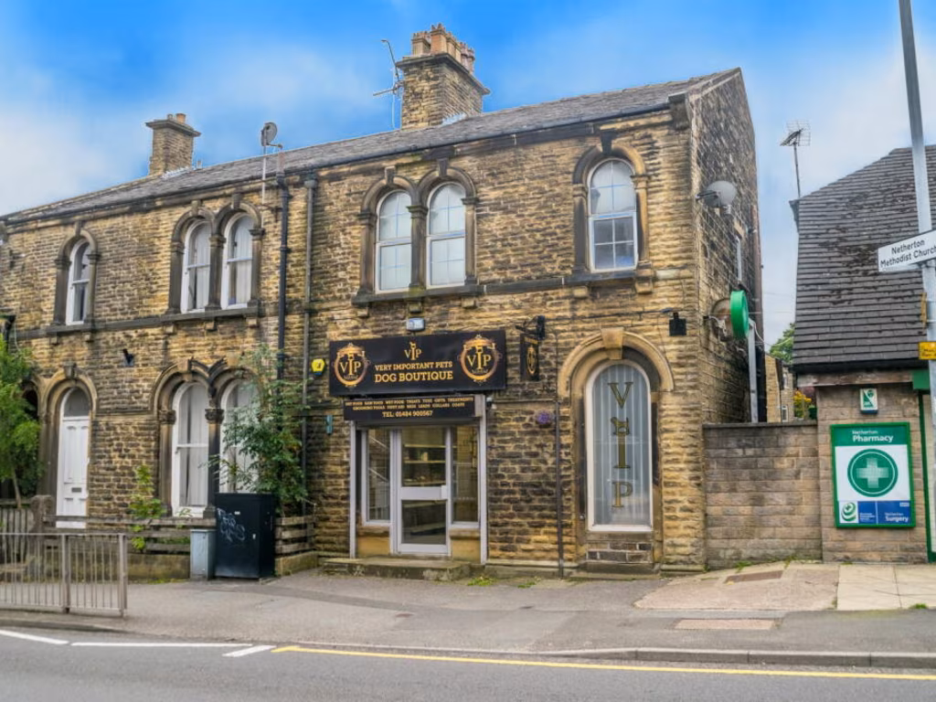
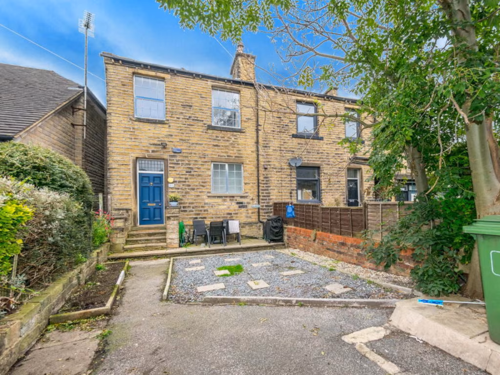
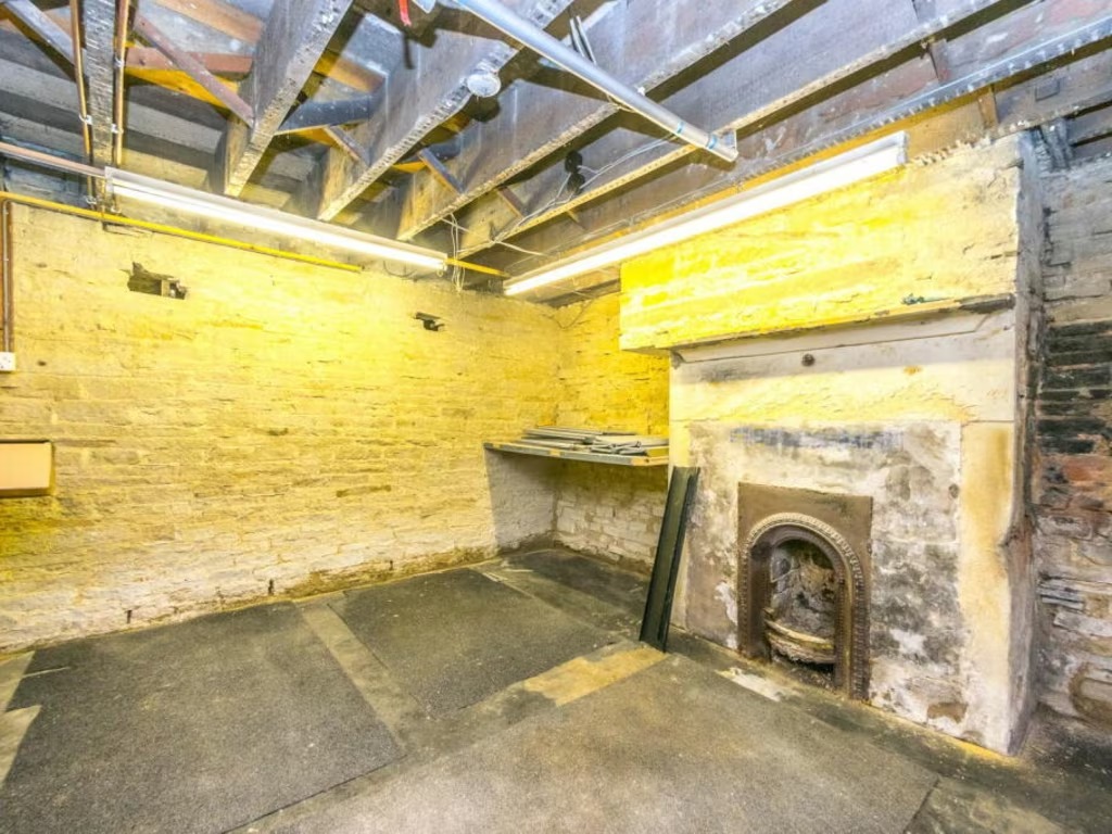
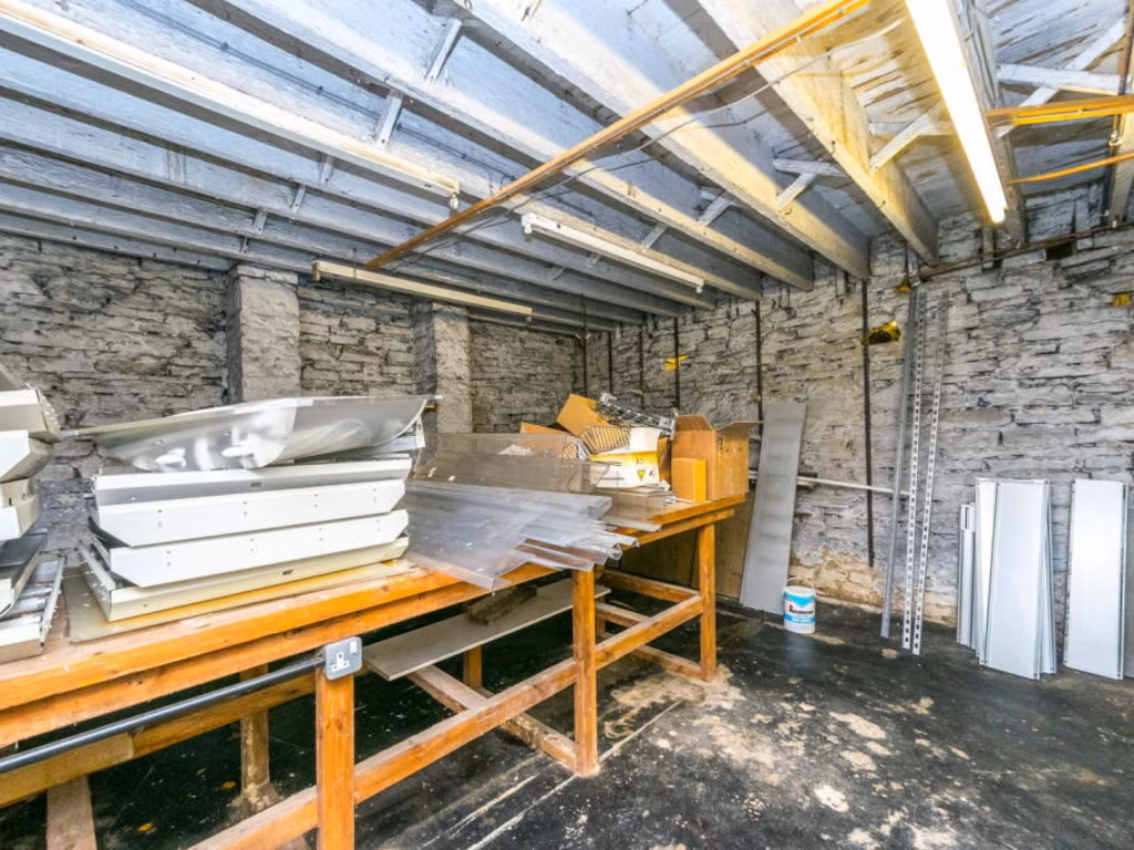
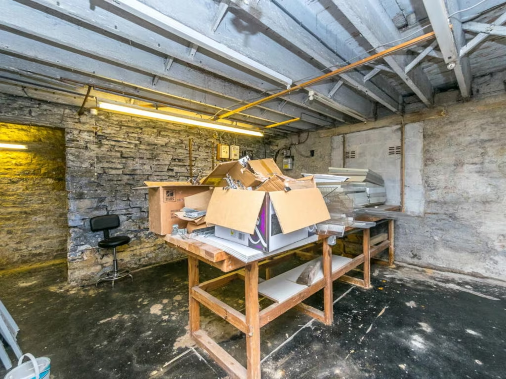
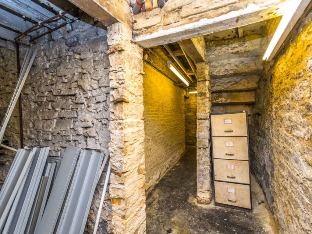
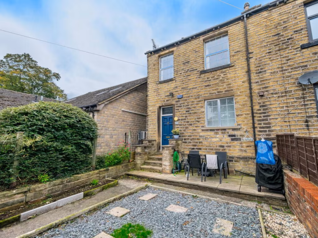
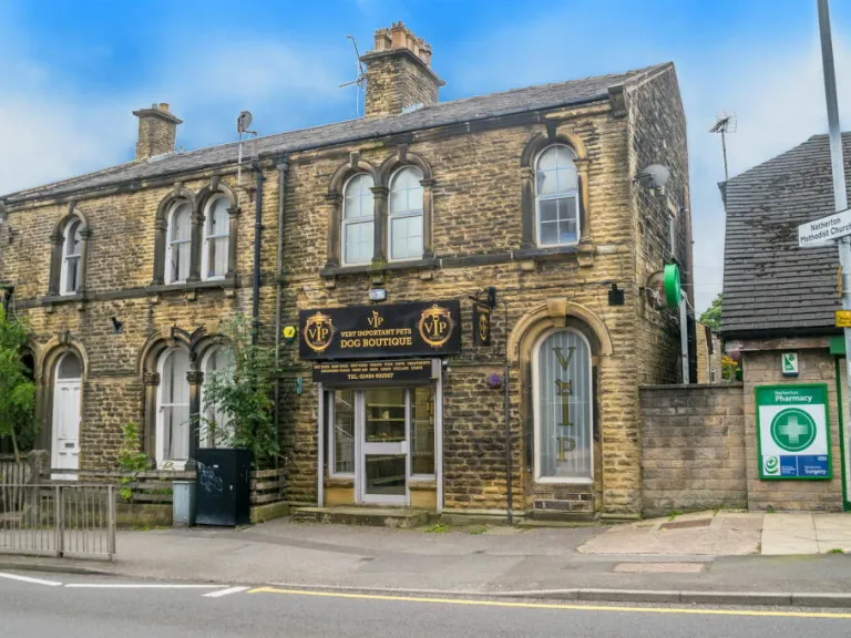
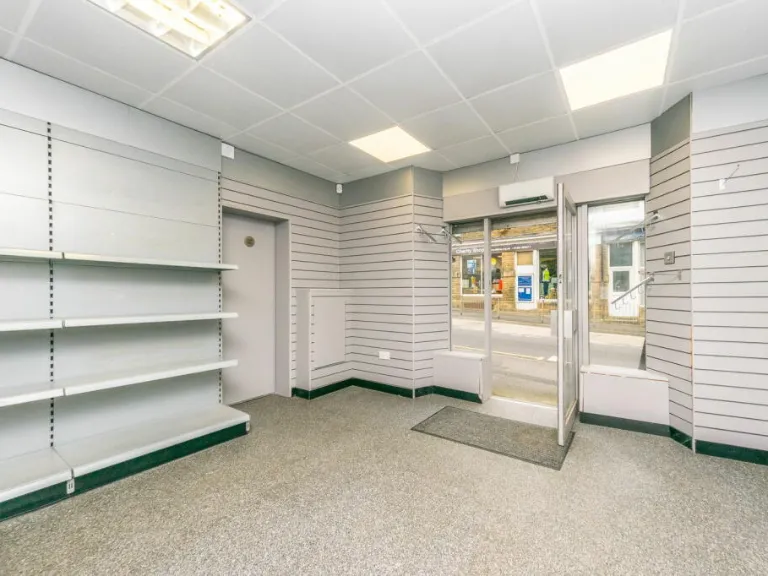
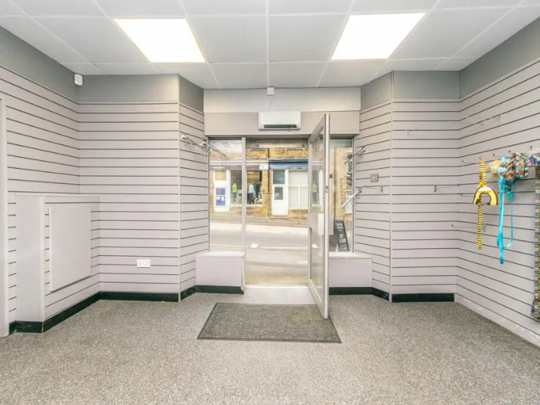
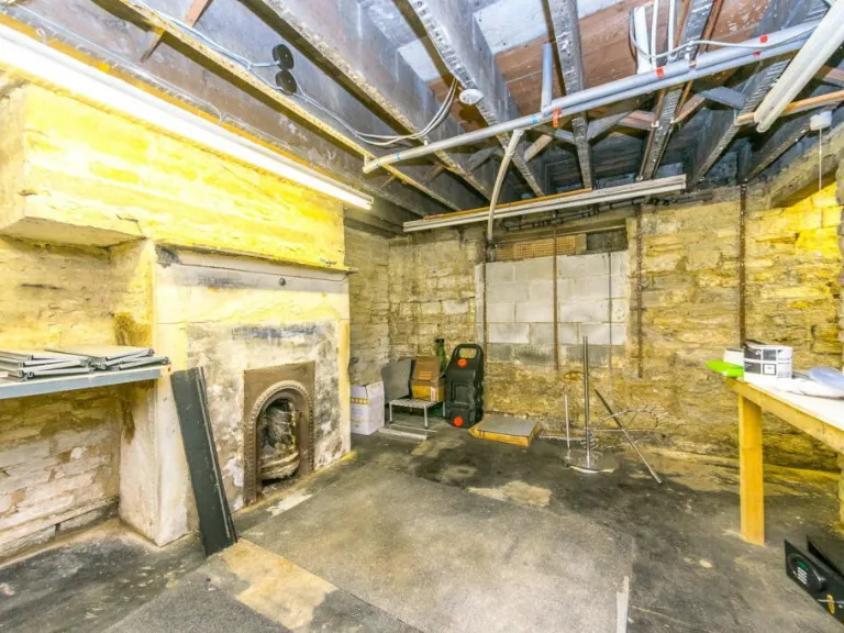
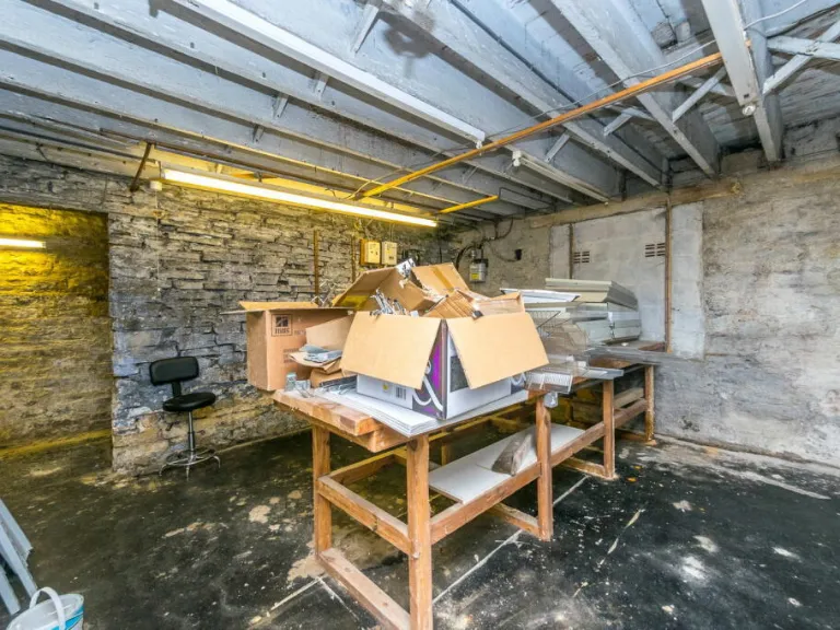
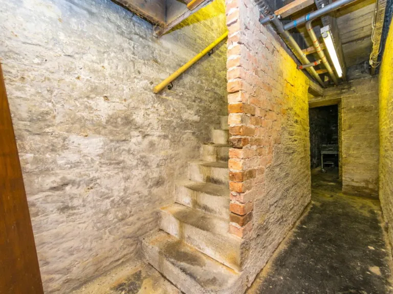
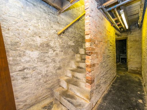
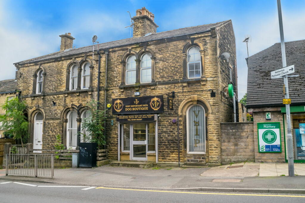
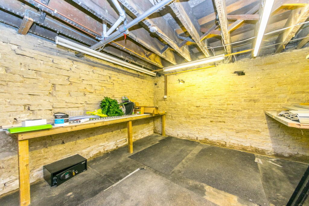
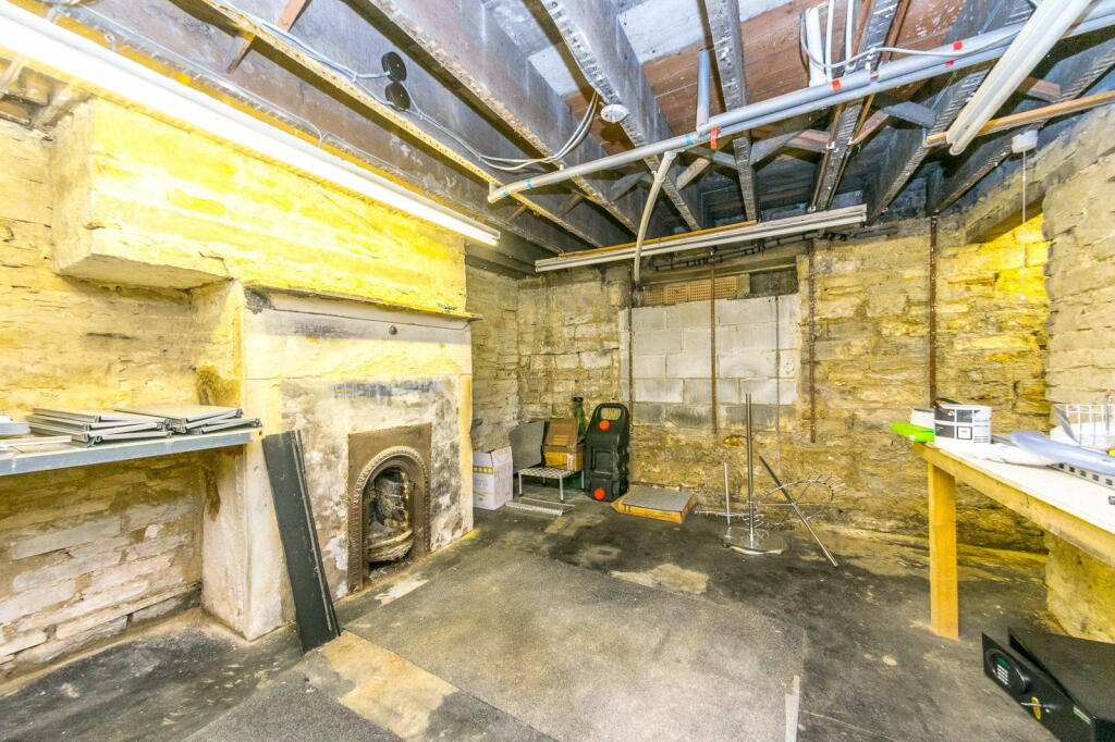
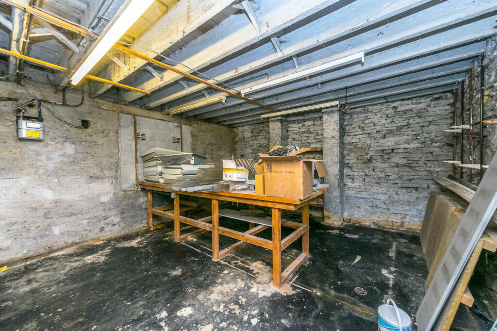
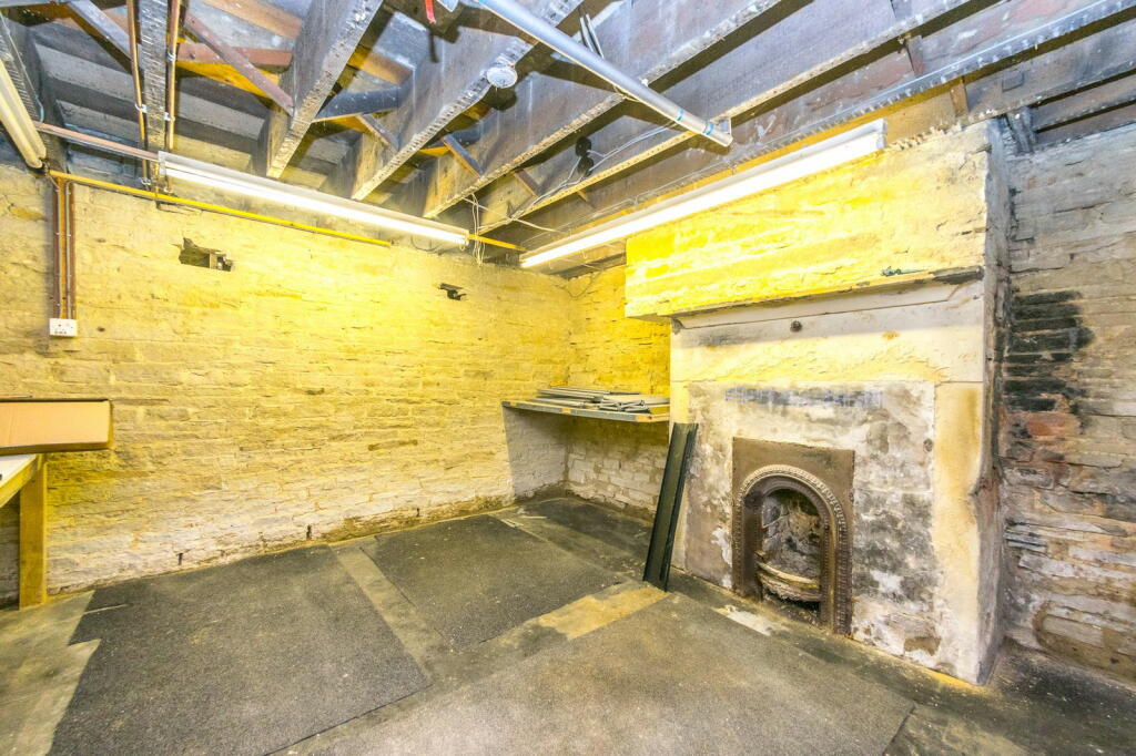
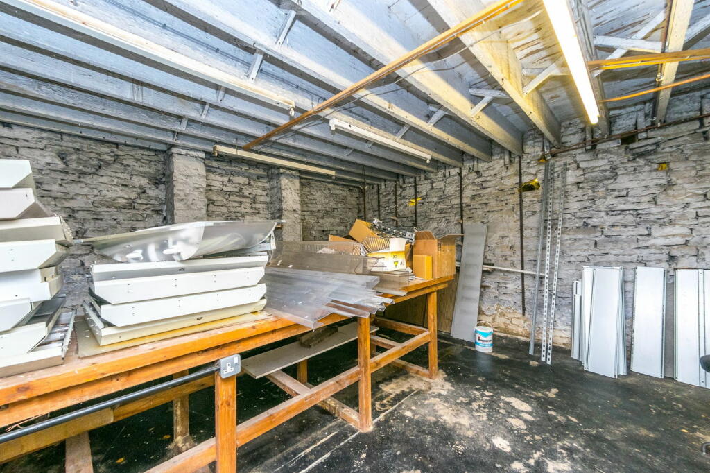
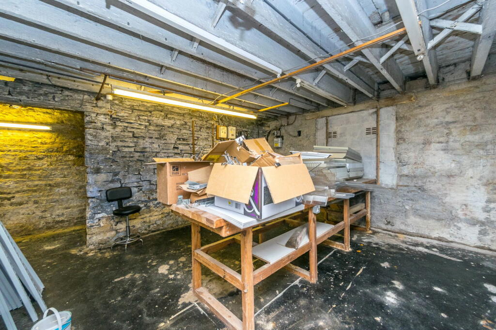
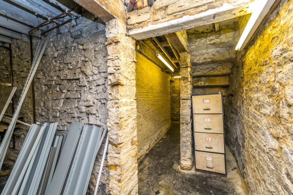
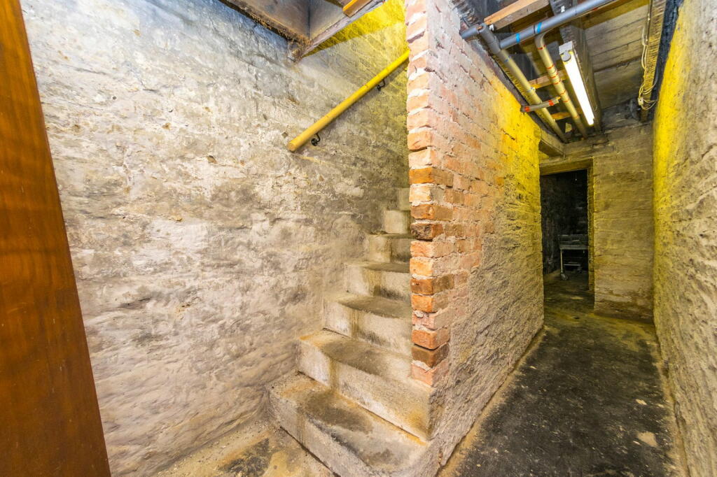
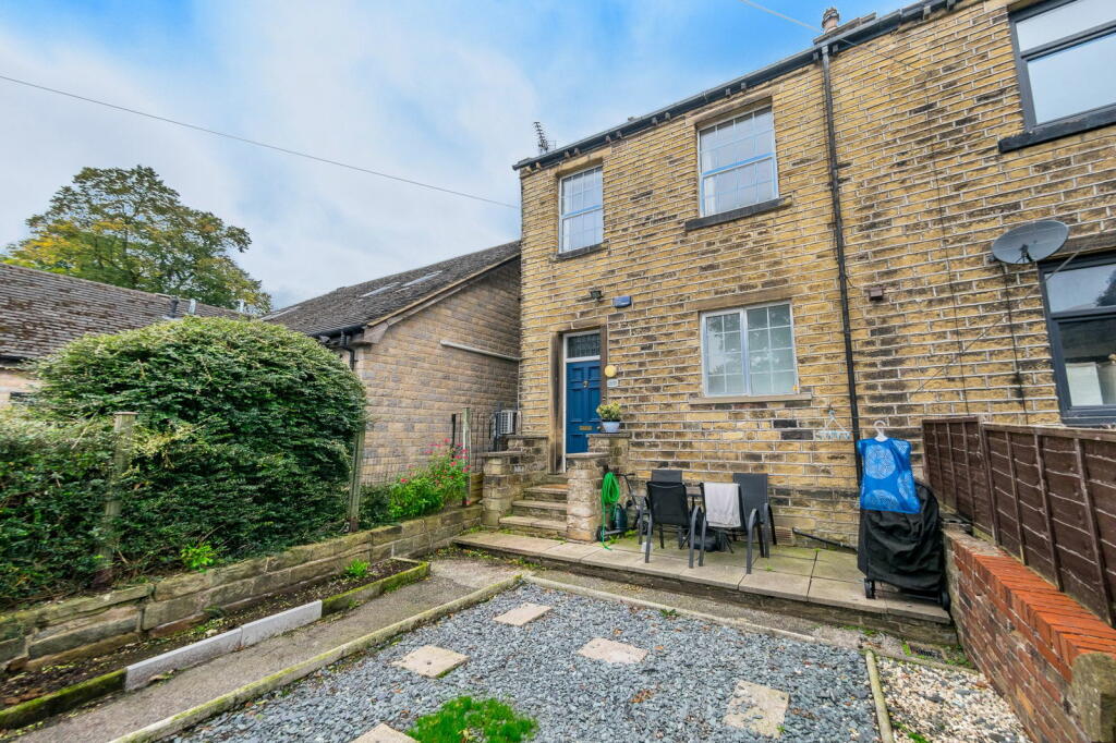
- Victorian commercial stone building Victorian
- exterior Victorian
Floorplan Description
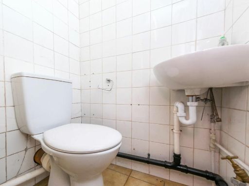
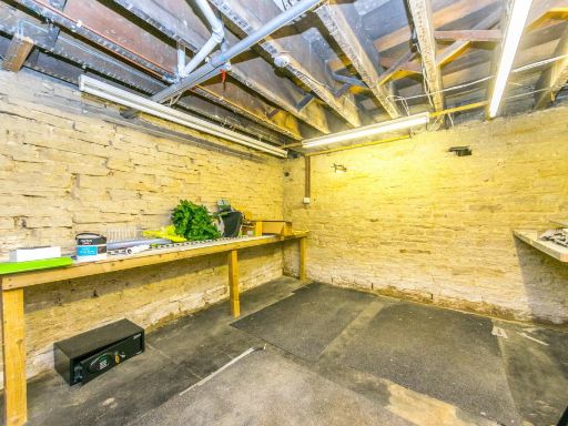
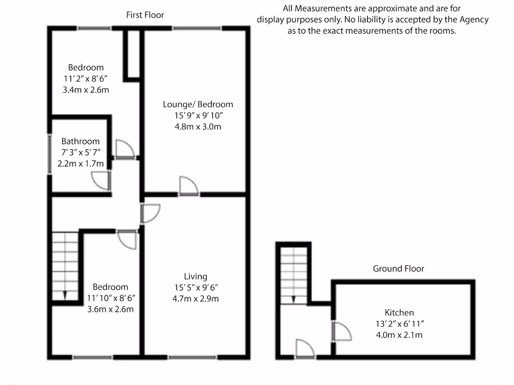
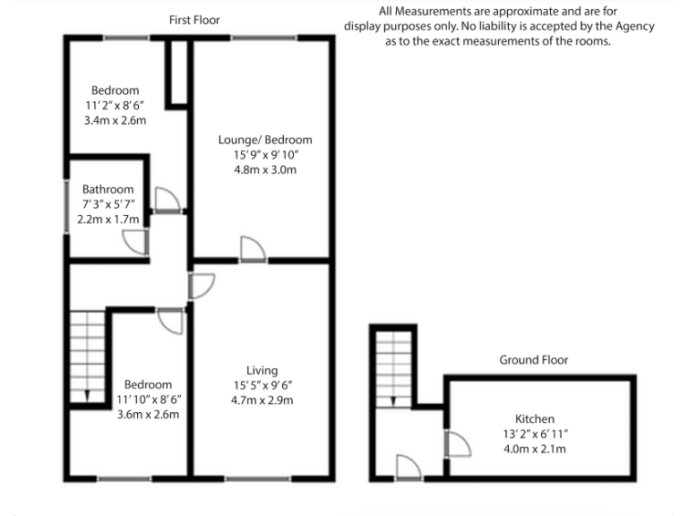
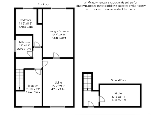
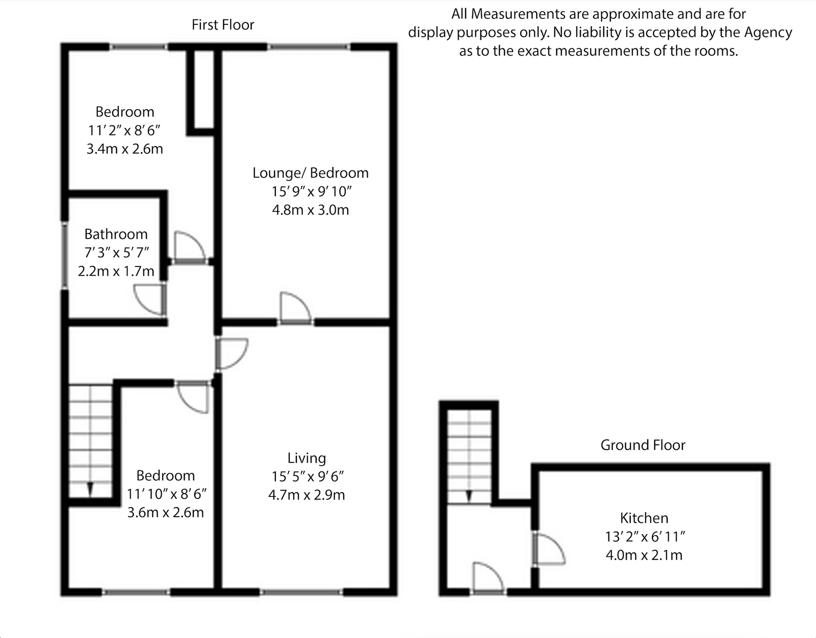
- A multi-story property with two bedrooms, a living room, lounge/bedroom, bathroom, and a kitchen.
Rooms
- : average
- : average
- : large
- : small
- Bedroom: average
- Bathroom: small
- Lounge/ Bedroom: large
- Bedroom: average
- Living: large
- Kitchen: average
Textual Property Features
Detected Visual Features
- Victorian
- stone
- arched windows
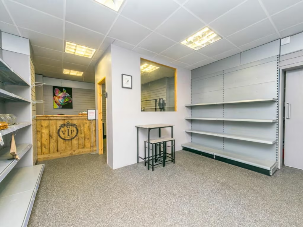
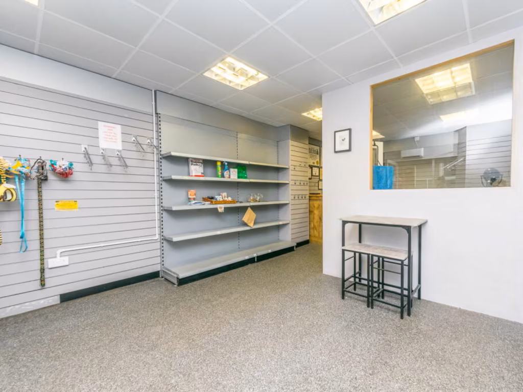
- commercial
- historic
- character
- high ceiling
- arched frames
- double glazing
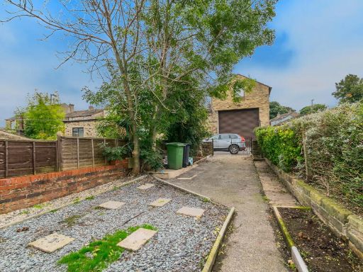
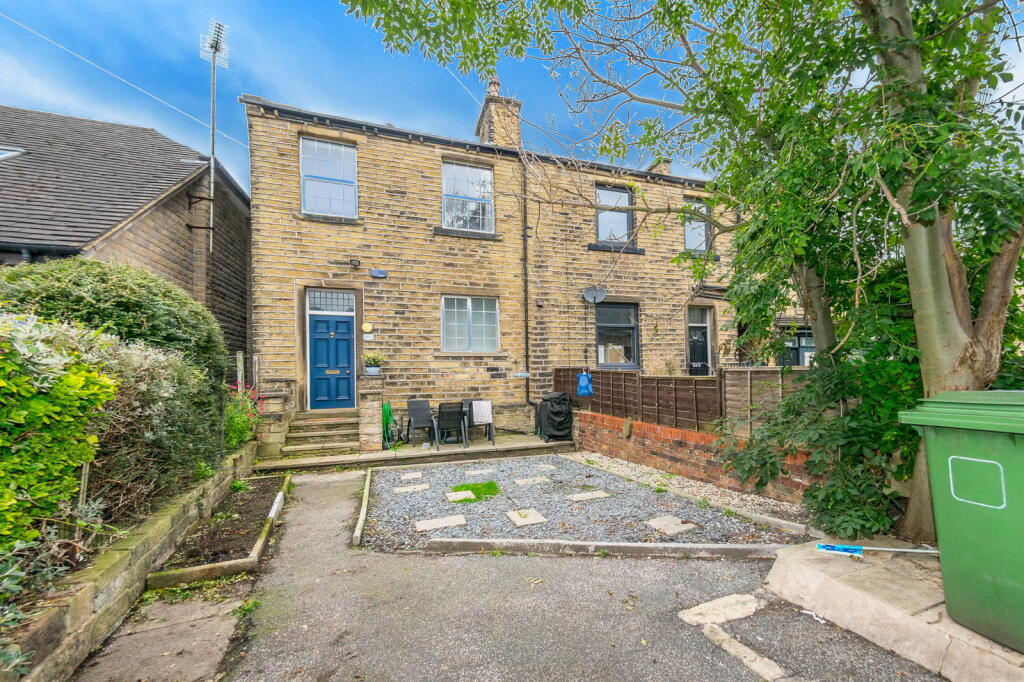
- semi-detached
- brickwork
- two-story
- period feature
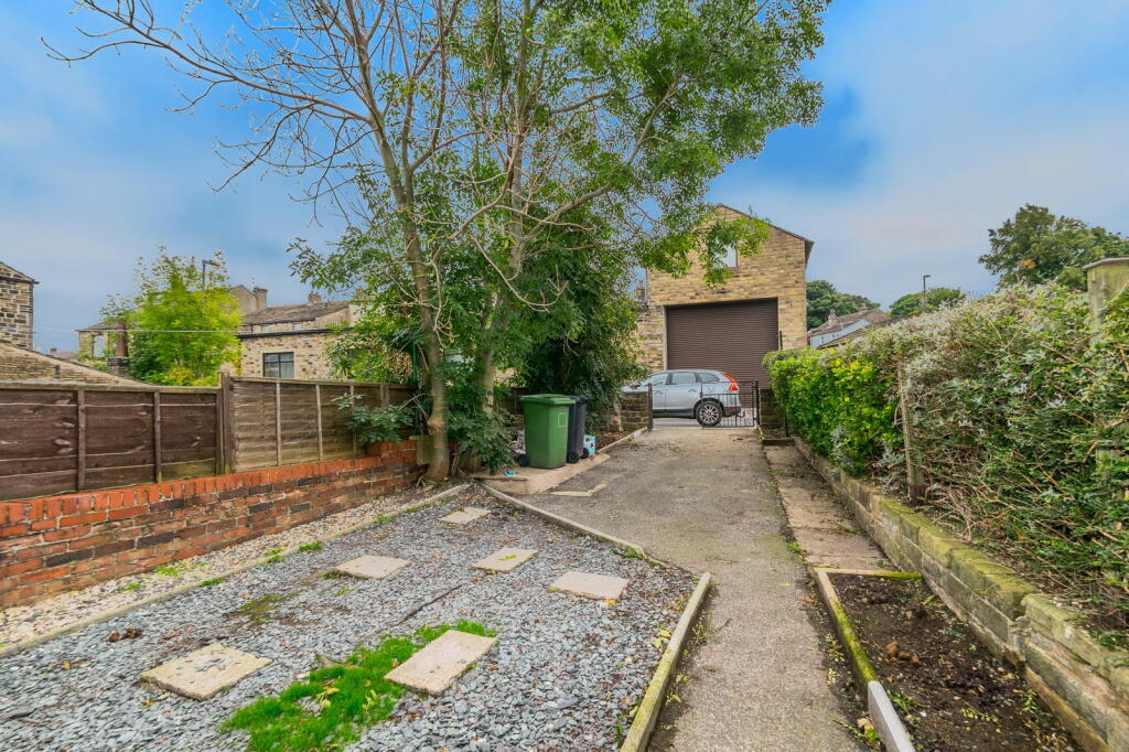
- driveway
- modernization potential
- garden area
Nearby Schools
- Honley CofE (VC) Junior, Infant and Nursery School
- Netherton Infant and Nursery School
- Linthwaite Ardron CofE (Voluntary Aided) Junior and Infant School
- Hillside Primary School
- Oak CofE Primary School
- Reinwood Infant and Nursery School
- Honley High School
- Mount Pleasant Primary School
- Crow Lane Primary and Foundation Stage School
- ES Independent School Kirklees
- Meltham CofE (VC) Primary School
- Helme Church of England Academy
- Beaumont Primary Academy
- Spring Grove Junior Infant and Nursery School
- Royds Hall, A Share Academy
- Huddersfield Grammar School
- Netherthong Primary School
- South Crosland Church of England Voluntary Aided Junior School
- Linthwaite Clough J I & Early Years Unit
- Colne Valley High School
- Newsome Academy
- Moor End Academy
- Woodside Green, A Share Primary Academy
- Paddock Junior Infant and Nursery School
- Reinwood Community Junior School
Nearest Bars And Restaurants
- Id: 2409304183
- Tags:
- Amenity: pub
- Name: The Railway
- Source: survey
- TagsNormalized:
- Lat: 53.6221366
- Lon: -1.7971016
- FullGeoHash: gcw9p1e7s6zb
- PartitionGeoHash: gcw9
- Images:
- FoodStandards: null
- Distance: 1395.1
,- Id: 232586278
- Tags:
- Amenity: restaurant
- Building: yes
- Historic: pub
- Name: Laxmi
- Old_name: Black Bull
- Source: survey
- TagsNormalized:
- Lat: 53.6195872
- Lon: -1.7957088
- FullGeoHash: gcw9p1hkszw2
- PartitionGeoHash: gcw9
- Images:
- FoodStandards: null
- Distance: 1332.3
,- Id: 2060296509
- Tags:
- Amenity: cafe
- Source: Bing and local knowledge
- TagsNormalized:
- Lat: 53.6253364
- Lon: -1.8090008
- FullGeoHash: gcw9nf4wpppp
- PartitionGeoHash: gcw9
- Images:
- FoodStandards: null
- Distance: 1228
,- Id: 344323965
- Tags:
- Amenity: pub
- Name: Beaumont Arms
- TagsNormalized:
- Lat: 53.6125429
- Lon: -1.8187771
- FullGeoHash: gcw8yxgeeqm7
- PartitionGeoHash: gcw8
- Images:
- FoodStandards: null
- Distance: 389
,- Id: 7687574162
- Tags:
- Amenity: fast_food
- Cuisine: fish_and_chips
- Name: Netherton Chippy
- Source: survey
- TagsNormalized:
- Lat: 53.6145946
- Lon: -1.8143231
- FullGeoHash: gcw9n8nzehyd
- PartitionGeoHash: gcw9
- Images:
- FoodStandards: null
- Distance: 17.8
}
Nearest General Shops
- Id: 2415372471
- Tags:
- TagsNormalized:
- Lat: 53.6225386
- Lon: -1.7976186
- FullGeoHash: gcw9p1ejbmwq
- PartitionGeoHash: gcw9
- Images:
- FoodStandards: null
- Distance: 1395.1
,- Id: 2415372387
- Tags:
- TagsNormalized:
- Lat: 53.6222888
- Lon: -1.7975033
- FullGeoHash: gcw9p1eh7phk
- PartitionGeoHash: gcw9
- Images:
- FoodStandards: null
- Distance: 1384
,- Id: 338365719
- Tags:
- Addr:
- City: Huddersfield
- Country: GB
- Housename: Hinchliffe’s Farm
- Postcode: HD4 7LE
- Street: Netherton Moor Road
- Suburb: Netherton
- Building: commercial
- Name: Hinchliffe's Farm Shop & Restaurant
- Shop: farm
- TagsNormalized:
- farm
- farm shop
- restaurant
- shop
- Lat: 53.6103275
- Lon: -1.8015349
- FullGeoHash: gcw8zp2nv1qh
- PartitionGeoHash: gcw8
- Images:
- FoodStandards: null
- Distance: 966.6
}
Nearest Grocery shops
- Id: 2409310886
- Tags:
- Brand: Costcutter
- Brand:wikidata: Q5175072
- Contact:
- Website: https://store-locator.costcutter.co.uk/costcutter-50c8281d43a4
- Name: Costcutter
- Opening_hours: closed
- Shop: convenience
- TagsNormalized:
- costcutter
- convenience
- shop
- Lat: 53.6198777
- Lon: -1.7947306
- FullGeoHash: gcw9p1jn7txv
- PartitionGeoHash: gcw9
- Images:
- FoodStandards: null
- Distance: 1404.4
,- Id: 3643165347
- Tags:
- Name: The Co-operative Food
- Operator: The Co-operative Group
- Shop: supermarket
- TagsNormalized:
- the co-operative food
- food
- shop
- Lat: 53.6141268
- Lon: -1.8154777
- FullGeoHash: gcw9n8nhbm9e
- PartitionGeoHash: gcw9
- Images:
- FoodStandards: null
- Distance: 109
,- Id: 7687574163
- Tags:
- Shop: convenience
- Source: survey
- TagsNormalized:
- Lat: 53.6148214
- Lon: -1.8141326
- FullGeoHash: gcw9n8qbzxhe
- PartitionGeoHash: gcw9
- Images:
- FoodStandards: null
- Distance: 10.8
}
Nearest Religious buildings
- Id: 641343412
- Tags:
- Amenity: place_of_worship
- Building: church
- Denomination: anglican
- Name: Holy Trinity Church
- Religion: christian
- Wikidata: Q26600276
- TagsNormalized:
- place of worship
- church
- anglican
- christian
- Lat: 53.6112605
- Lon: -1.8236528
- FullGeoHash: gcw8yx8h1z3c
- PartitionGeoHash: gcw8
- Images:
- FoodStandards: null
- Distance: 734.7
,- Id: 401638662
- Tags:
- Addr:
- City: Huddersfield
- Postcode: HD4 7HF
- Street: Moor Lane
- Amenity: school
- Name: South Crosland Church of England Voluntary Aided Junior School
- Ref:
- Source: Bing
- Website: http://www.southcrosland.org.uk/
- TagsNormalized:
- Lat: 53.6137897
- Lon: -1.8112036
- FullGeoHash: gcw9nb14gyu9
- PartitionGeoHash: gcw9
- Images:
- FoodStandards: null
- Distance: 221.8
,- Id: 1222870104
- Tags:
- Amenity: place_of_worship
- Denomination: methodist
- Name: Netherton Methodist Church
- Religion: christian
- Wikidata: Q26427675
- TagsNormalized:
- place of worship
- methodist
- church
- christian
- Lat: 53.6146324
- Lon: -1.8157827
- FullGeoHash: gcw9n8jzc5y7
- PartitionGeoHash: gcw9
- Images:
- FoodStandards: null
- Distance: 106.8
}
Nearest Medical buildings
- Id: 2376875672
- Tags:
- Amenity: pharmacy
- Name: Lockwood Pharmacy
- Source: survey
- TagsNormalized:
- Lat: 53.6332184
- Lon: -1.7949964
- FullGeoHash: gcw9p5sujs99
- PartitionGeoHash: gcw9
- Images:
- FoodStandards: null
- Distance: 2413.9
,- Id: 2391472769
- Tags:
- Amenity: pharmacy
- Dispensing: yes
- TagsNormalized:
- Lat: 53.6318998
- Lon: -1.7972506
- FullGeoHash: gcw9p57k3n8z
- PartitionGeoHash: gcw9
- Images:
- FoodStandards: null
- Distance: 2211.7
,- Id: 2391472765
- Tags:
- Amenity: doctors
- Name: Meltham Road Surgery
- TagsNormalized:
- Lat: 53.6318367
- Lon: -1.7971425
- FullGeoHash: gcw9p57k5dcr
- PartitionGeoHash: gcw9
- Images:
- FoodStandards: null
- Distance: 2209.2
,- Id: 7687574161
- Tags:
- Amenity: pharmacy
- Healthcare: pharmacy
- Name: Netherton Pharmacy
- Source: survey
- TagsNormalized:
- Lat: 53.6142382
- Lon: -1.8147039
- FullGeoHash: gcw9n8ntd66s
- PartitionGeoHash: gcw9
- Images:
- FoodStandards: null
- Distance: 64.7
}
Nearest Airports
- Id: 11519546
- Tags:
- Addr:
- City: Leeds
- Postcode: LS19 7TU
- Aerodrome: international
- Aerodrome:type: public
- Aeroway: aerodrome
- Iata: LBA
- Icao: EGNM
- Name: Leeds Bradford Airport
- Operator: Leeds Bradford Airport Limited
- Operator:type: private
- Ref: LBA
- Type: multipolygon
- Website: https://www.leedsbradfordairport.co.uk/
- Wikidata: Q8699
- Wikipedia: en:Leeds Bradford Airport
- TagsNormalized:
- airport
- international airport
- Lat: 53.8667047
- Lon: -1.660138
- FullGeoHash: gcwf6nph7cx3
- PartitionGeoHash: gcwf
- Images:
- Q8699-1
- Q8699-2
- Q8699-3
- Q8699-4
- FoodStandards: null
- Distance: 29793.6
}
Nearest Leisure Facilities
- Id: 200147188
- Tags:
- Leisure: pitch
- Source: Bing
- Sport: soccer
- TagsNormalized:
- Lat: 53.6131196
- Lon: -1.8100515
- FullGeoHash: gcw8yzczn9zg
- PartitionGeoHash: gcw8
- Images:
- FoodStandards: null
- Distance: 325.3
,- Id: 200147187
- Tags:
- Leisure: pitch
- Source: Bing
- Sport: soccer
- TagsNormalized:
- Lat: 53.6137095
- Lon: -1.8095761
- FullGeoHash: gcw9nb463zf6
- PartitionGeoHash: gcw9
- Images:
- FoodStandards: null
- Distance: 323.6
,- Id: 200147190
- Tags:
- Leisure: pitch
- Source: Bing
- TagsNormalized:
- Lat: 53.6136042
- Lon: -1.8103177
- FullGeoHash: gcw9nb1cbs1q
- PartitionGeoHash: gcw9
- Images:
- FoodStandards: null
- Distance: 283.2
,- Id: 200147183
- Tags:
- Leisure: pitch
- Name: Netherton Cons Crown Green Bowls Club
- Source: Bing
- Sport: bowls
- TagsNormalized:
- pitch
- leisure
- bowls
- club
- sports
- Lat: 53.6128341
- Lon: -1.8115918
- FullGeoHash: gcw8yzbv6ueh
- PartitionGeoHash: gcw8
- Images:
- FoodStandards: null
- Distance: 270.7
,- Id: 200147185
- Tags:
- Leisure: playground
- Source: Bing
- TagsNormalized:
- Lat: 53.6131807
- Lon: -1.8110966
- FullGeoHash: gcw8yzcpqmk2
- PartitionGeoHash: gcw8
- Images:
- FoodStandards: null
- Distance: 265.9
}
Nearest Tourist attractions
- Id: 229135238
- Tags:
- Building: yes
- Historic: pub
- Name: Griffin Lodge
- Old_name: The Griffin
- Source: survey
- Tourism: guest_house
- TagsNormalized:
- Lat: 53.6396448
- Lon: -1.8011409
- FullGeoHash: gcw9phb3w6s0
- PartitionGeoHash: gcw9
- Images:
- FoodStandards: null
- Distance: 2900.9
,- Id: 918058328
- Tags:
- Historic: monument
- Name: Victoria Tower
- Note: Tower to commemorate Diamond Jubilee of Queen Victoria
- Tourism: attraction
- TagsNormalized:
- Lat: 53.6222011
- Lon: -1.772215
- FullGeoHash: gcw9p9tebqu8
- PartitionGeoHash: gcw9
- Images:
- FoodStandards: null
- Distance: 2889.4
,- Id: 319811409
- Tags:
- Name: Reins Cottage
- Tourism: yes
- TagsNormalized:
- Lat: 53.609687
- Lon: -1.7875767
- FullGeoHash: gcw8zr6743yp
- PartitionGeoHash: gcw8
- Images:
- FoodStandards: null
- Distance: 1841.7
}
Nearest Train stations
- Id: 248646520
- Tags:
- Name: Shelley
- Network: Whistlestop Valley
- Operator: Whistlestop Valley
- Public_transport: station
- Railway: station
- Train: yes
- Usage: tourism
- TagsNormalized:
- Lat: 53.5872189
- Lon: -1.6856984
- FullGeoHash: gcwbcek80msh
- PartitionGeoHash: gcwb
- Images:
- FoodStandards: null
- Distance: 9012.1
,- Id: 3711588219
- Tags:
- Name: Shepley
- Naptan:
- Network: National Rail
- Public_transport: station
- Railway: station
- Ref:
- Source: NPE
- Wikipedia: en:Shepley railway station
- TagsNormalized:
- Lat: 53.5887533
- Lon: -1.7048254
- FullGeoHash: gcwbc5w94ewj
- PartitionGeoHash: gcwb
- Images:
- FoodStandards: null
- Distance: 7771.5
,- Id: 3711588220
- Tags:
- Name: Stocksmoor
- Naptan:
- Network: National Rail
- Public_transport: station
- Railway: station
- Ref:
- Source: NPE
- Wikipedia: en:Stocksmoor railway station
- TagsNormalized:
- Lat: 53.5941495
- Lon: -1.7232658
- FullGeoHash: gcwbbu90scxf
- PartitionGeoHash: gcwb
- Images:
- FoodStandards: null
- Distance: 6419.5
,- Id: 6012937552
- Tags:
- Name: Slaithwaite
- Naptan:
- Network: National Rail
- Operator: Northern
- Public_transport: station
- Railway: station
- Ref:
- Source: NPE
- Train: yes
- Wikipedia: en:Slaithwaite railway station
- TagsNormalized:
- Lat: 53.6241585
- Lon: -1.8806027
- FullGeoHash: gcw9j1yx6g8v
- PartitionGeoHash: gcw9
- Images:
- FoodStandards: null
- Distance: 4505.2
,- Id: 6012937553
- Tags:
- Name: Huddersfield
- Naptan:
- Network: National Rail
- Public_transport: station
- Railway: station
- Ref:
- Wheelchair: yes
- Wikipedia: en:Huddersfield railway station
- TagsNormalized:
- Lat: 53.64849
- Lon: -1.7847509
- FullGeoHash: gcw9pqkmh73k
- PartitionGeoHash: gcw9
- Images:
- FoodStandards: null
- Distance: 4225.8
}
Nearest Hotels
- Id: 6337863817
- Tags:
- Name: Durker Roods Hotel
- Source: Bing; survey
- Tourism: hotel
- TagsNormalized:
- Lat: 53.5915464
- Lon: -1.8432596
- FullGeoHash: gcw8yh1c2uq4
- PartitionGeoHash: gcw8
- Images:
- FoodStandards: null
- Distance: 3213.6
,- Id: 893419018
- Tags:
- Amenity: pub
- Name: Victoria Hotel
- TagsNormalized:
- Lat: 53.6283524
- Lon: -1.7763044
- FullGeoHash: gcw9pddxc17q
- PartitionGeoHash: gcw9
- Images:
- FoodStandards: null
- Distance: 2921
,- Id: 8454357321
- Tags:
- Amenity: pub
- Name: Foresters Hotel
- TagsNormalized:
- Lat: 53.6384147
- Lon: -1.8111755
- FullGeoHash: gcw9nu94kt1w
- PartitionGeoHash: gcw9
- Images:
- FoodStandards: null
- Distance: 2641.3
}
Tags
- Victorian
- stone
- arched windows
- commercial
- historic
- character
- high ceiling
- arched frames
- double glazing
- Victorian
- semi-detached
- brickwork
- two-story
- period feature
- driveway
- modernization potential
- garden area
Local Market Stats
- Average Price/sqft: £190
- Avg Income: £33700
- Rental Yield: 3.7%
- Social Housing: 10%
- Planning Success Rate: 87%
AirBnB Data
- 1km average: £112/night
- Listings in 1km: 1
Similar Properties
 Commercial property for sale in 599-601 Wakefield Road, Waterloo, Huddersfield, HD5 — £375,000 • 1 bed • 1 bath • 2710 ft²
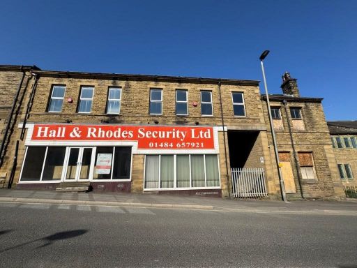 Commercial property for sale in 128 - 140 Blackmoorfoot Rd, Crosland Moor, Huddersfield, HD4 — £340,000 • 1 bed • 1 bath • 5555 ft²
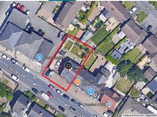 Commercial property for sale in Church Lane, Newsome, HD4 — £235,000 • 2 bed • 1 bath • 915 ft²
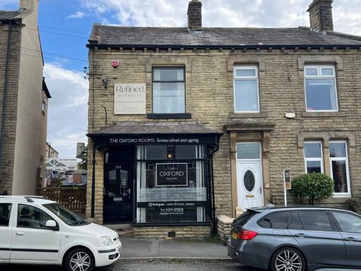 Commercial property for sale in 242 Oxford Road, Gomersal, Cleckheaton, BD19 — £185,000 • 1 bed • 1 bath
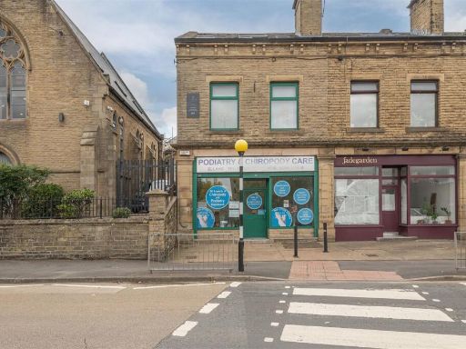 Commercial property for sale in Huddersfield Road, Elland, HX5 — £175,000 • 1 bed • 1 bath • 1318 ft²
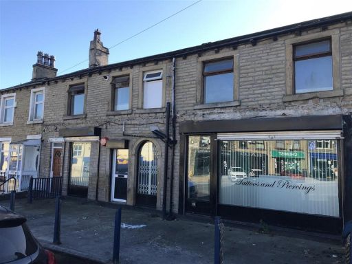 Commercial property for sale in Vacant Unit, Paddock, West Yorkshire, HD1 — £178,000 • 4 bed • 1 bath • 599 ft²
Meta
- {
"@context": "https://schema.org",
"@type": "Residence",
"name": "Commercial property for sale in Meltham Road, Huddersfield,…",
"description": "",
"url": "https://propertypiper.co.uk/property/3ba8b5c6-f25a-4d04-93be-6fc5d2db05fa",
"image": "https://image-a.propertypiper.co.uk/246a75a4-7b70-4b06-a030-da662f208b7d-1024.jpeg",
"address": {
"@type": "PostalAddress",
"streetAddress": "Meltham Road, Huddersfield, HD4 7EX",
"postalCode": "HD4 7EX",
"addressLocality": "Kirklees",
"addressRegion": "Colne Valley",
"addressCountry": "England"
},
"geo": {
"@type": "GeoCoordinates",
"latitude": 53.614727346505255,
"longitude": -1.8141717562672475
},
"numberOfRooms": 3,
"numberOfBathroomsTotal": 1,
"floorSize": {
"@type": "QuantitativeValue",
"value": 1400,
"unitCode": "FTK"
},
"offers": {
"@type": "Offer",
"price": 190000,
"priceCurrency": "GBP",
"availability": "https://schema.org/InStock"
},
"additionalProperty": [
{
"@type": "PropertyValue",
"name": "Feature",
"value": "Victorian"
},
{
"@type": "PropertyValue",
"name": "Feature",
"value": "stone"
},
{
"@type": "PropertyValue",
"name": "Feature",
"value": "arched windows"
},
{
"@type": "PropertyValue",
"name": "Feature",
"value": "commercial"
},
{
"@type": "PropertyValue",
"name": "Feature",
"value": "historic"
},
{
"@type": "PropertyValue",
"name": "Feature",
"value": "character"
},
{
"@type": "PropertyValue",
"name": "Feature",
"value": "high ceiling"
},
{
"@type": "PropertyValue",
"name": "Feature",
"value": "arched frames"
},
{
"@type": "PropertyValue",
"name": "Feature",
"value": "double glazing"
},
{
"@type": "PropertyValue",
"name": "Feature",
"value": "Victorian"
},
{
"@type": "PropertyValue",
"name": "Feature",
"value": "semi-detached"
},
{
"@type": "PropertyValue",
"name": "Feature",
"value": "brickwork"
},
{
"@type": "PropertyValue",
"name": "Feature",
"value": "two-story"
},
{
"@type": "PropertyValue",
"name": "Feature",
"value": "period feature"
},
{
"@type": "PropertyValue",
"name": "Feature",
"value": "driveway"
},
{
"@type": "PropertyValue",
"name": "Feature",
"value": "modernization potential"
},
{
"@type": "PropertyValue",
"name": "Feature",
"value": "garden area"
}
]
}
High Res Floorplan Images
Compatible Floorplan Images
FloorplanImages Thumbnail