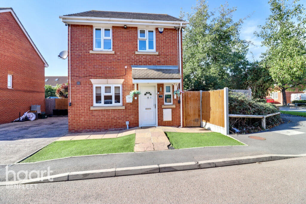
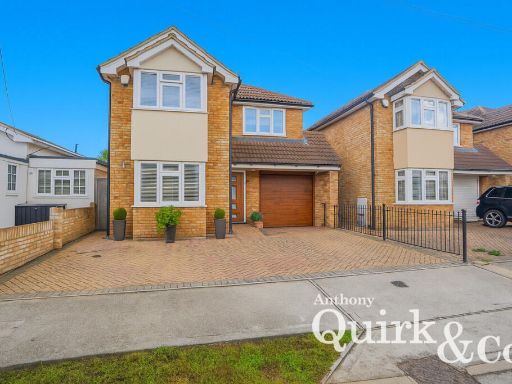
Summary - 2 AZALEA MEWS CANVEY ISLAND SS8 0HU
5 bed 3 bath Detached
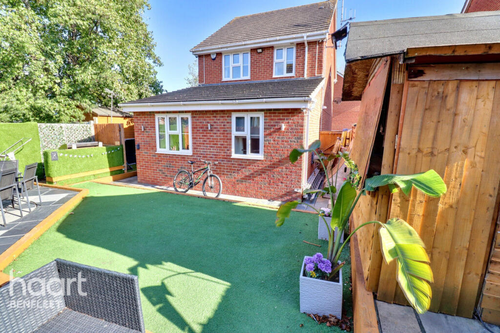
Five-bedroom family home with beach access and flexible ground-floor space.
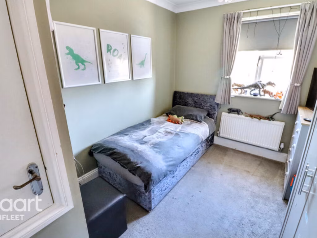
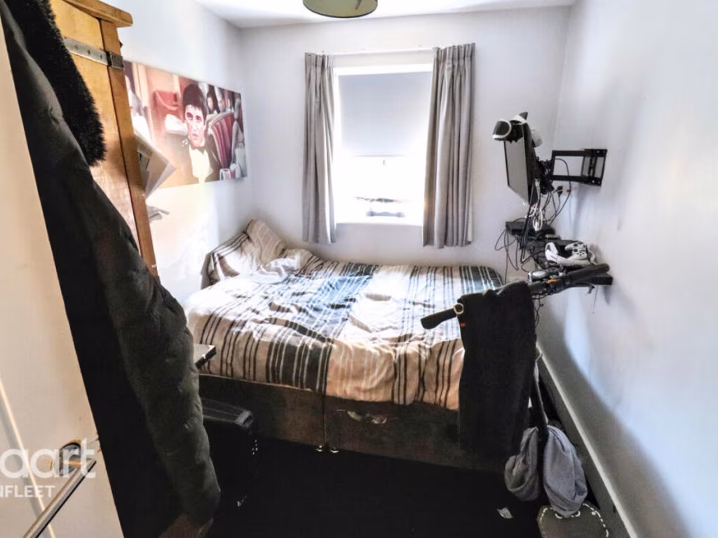
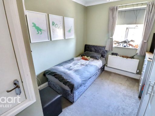
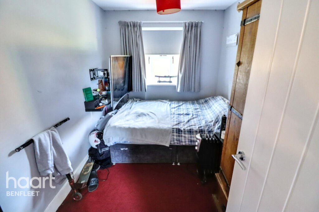
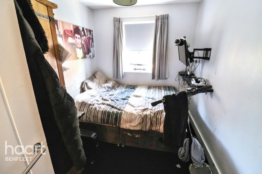
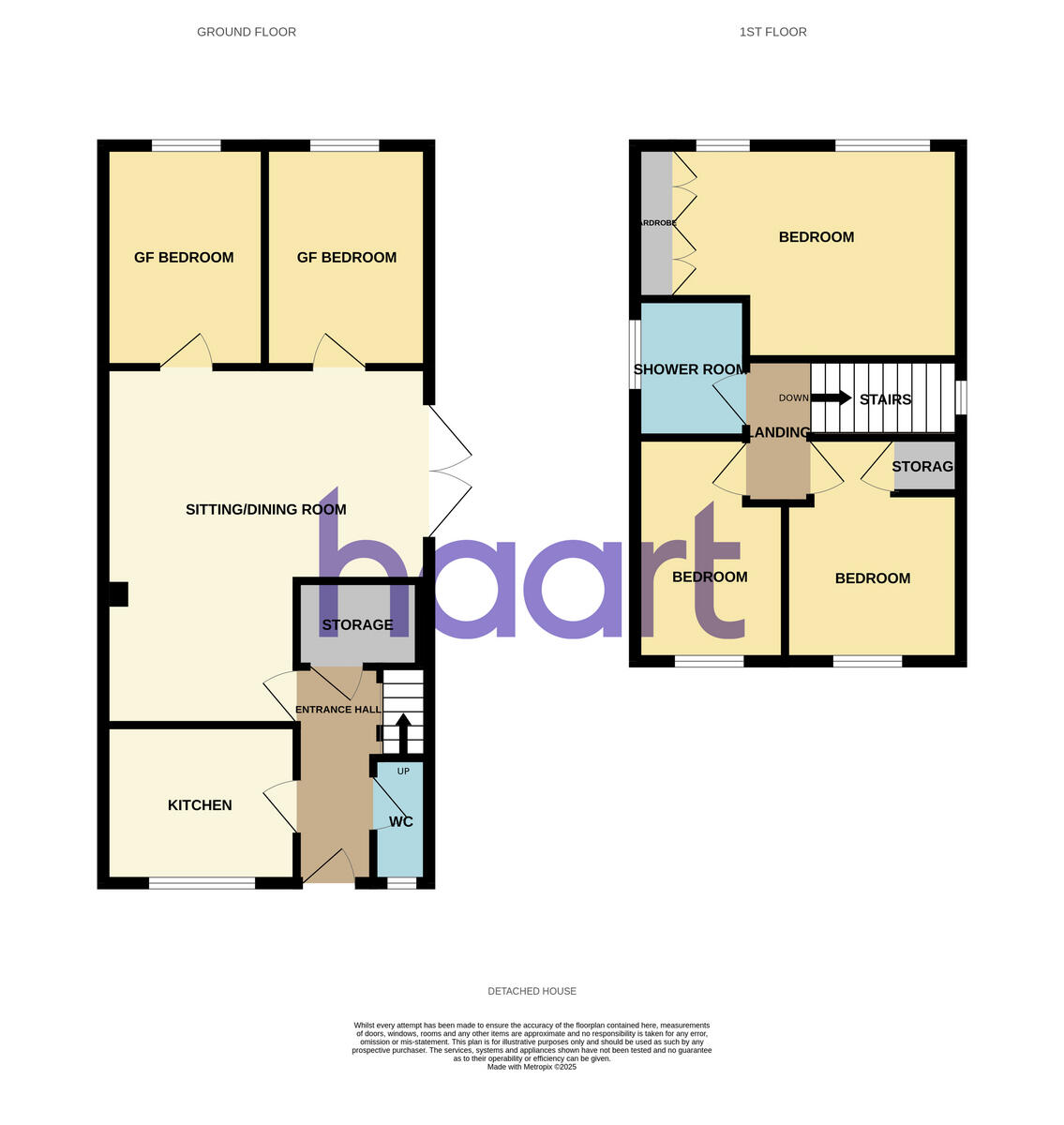
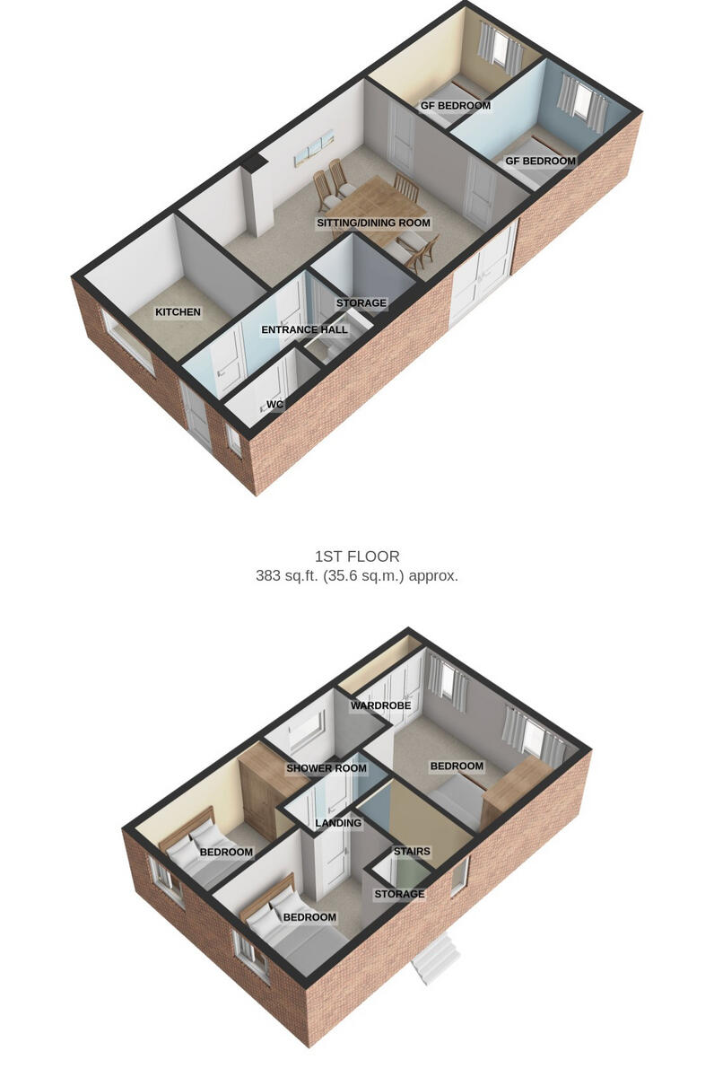
- Five bedrooms including two ground-floor versatile rooms
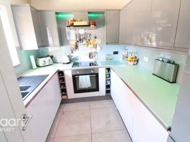
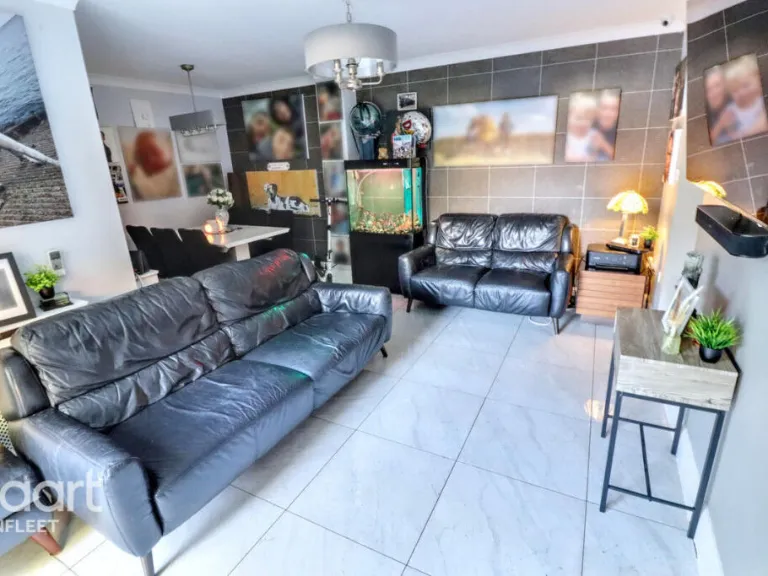
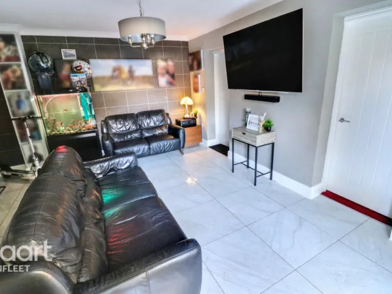
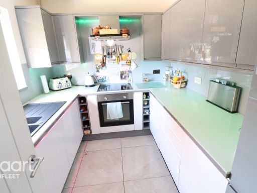
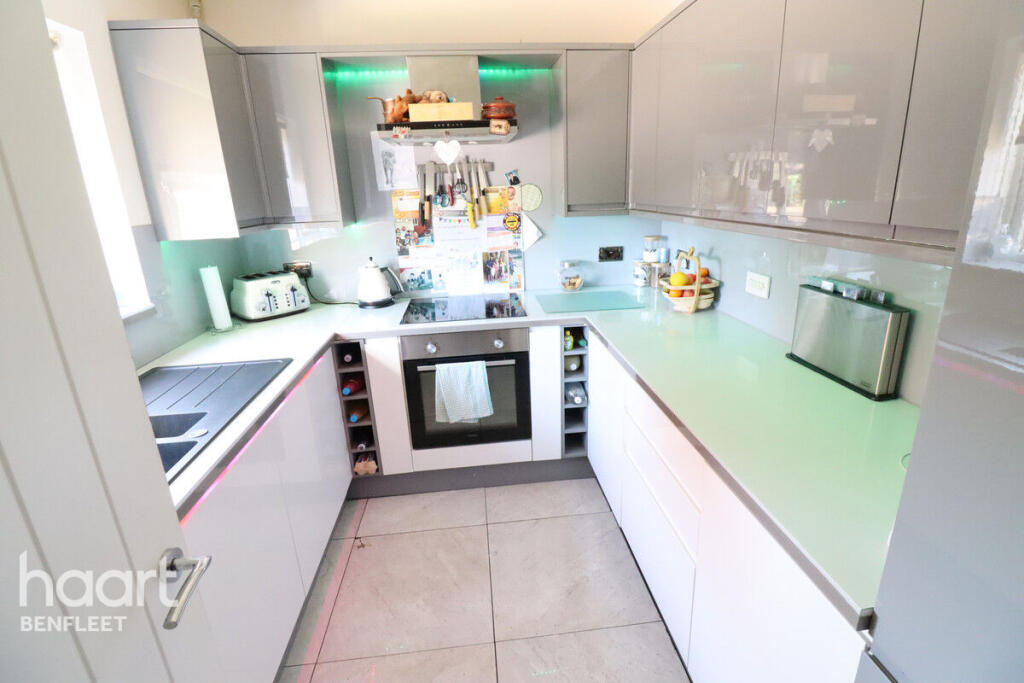
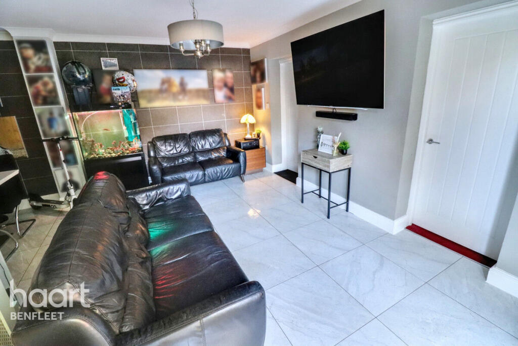
- Open-plan lounge/diner with modern fitted kitchen
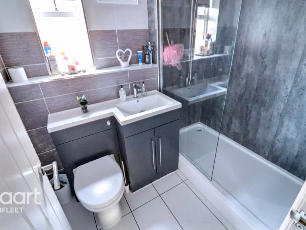
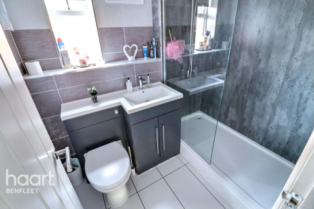
- Three bathrooms including modern ground-floor cloakroom
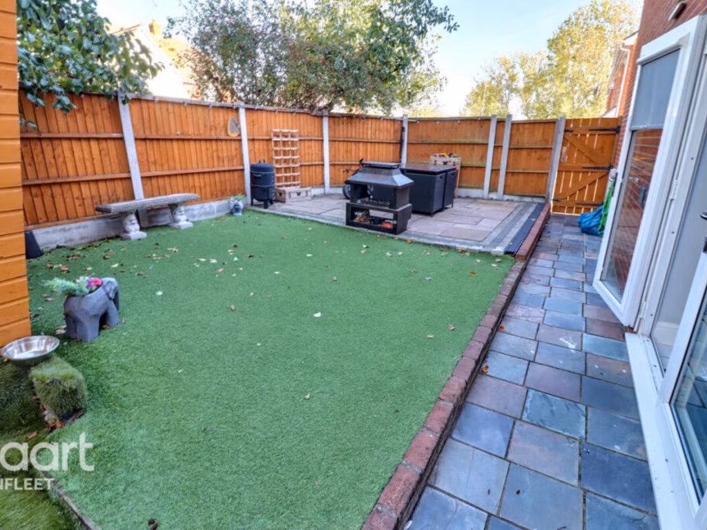
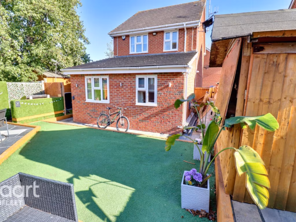
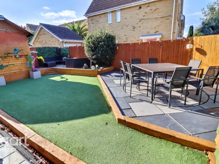
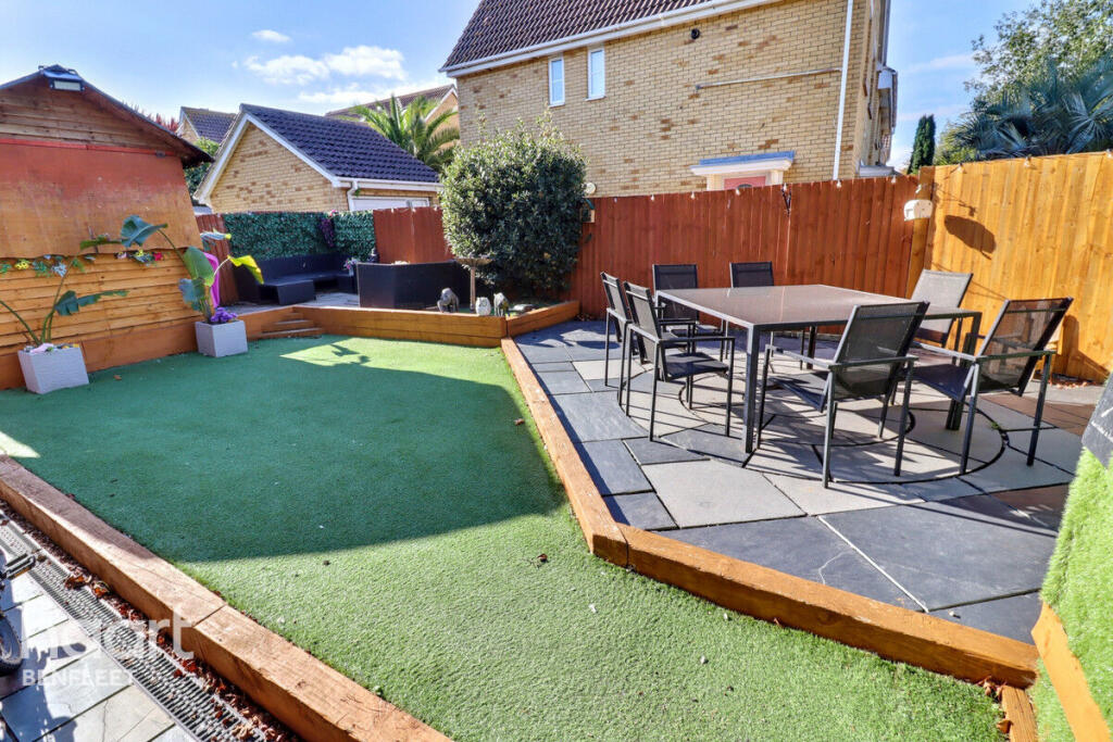
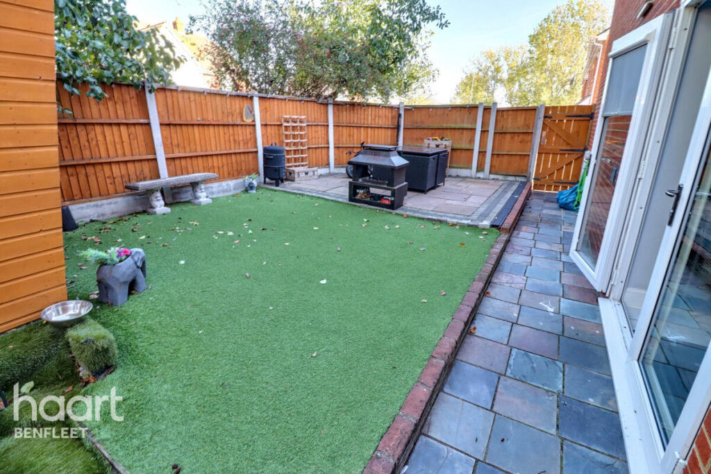
- Low-maintenance private rear garden and gated driveway
- Generous garage plus ample off-street parking
- Walking distance to the beach; fast broadband and mobile
- Built c.1996–2002 with double glazing and mains gas heating
- Local secondary schools include some rated below Good
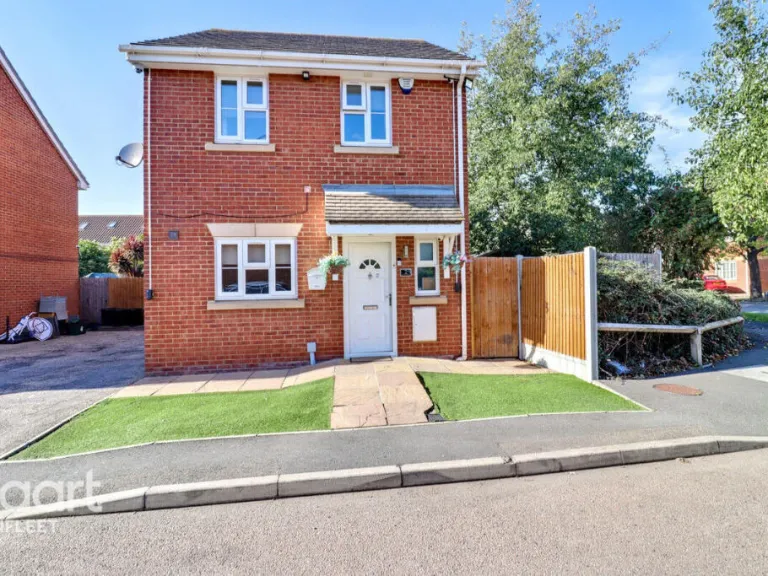
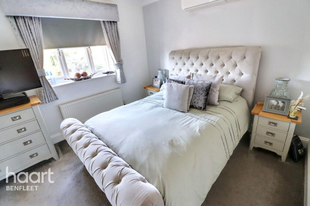
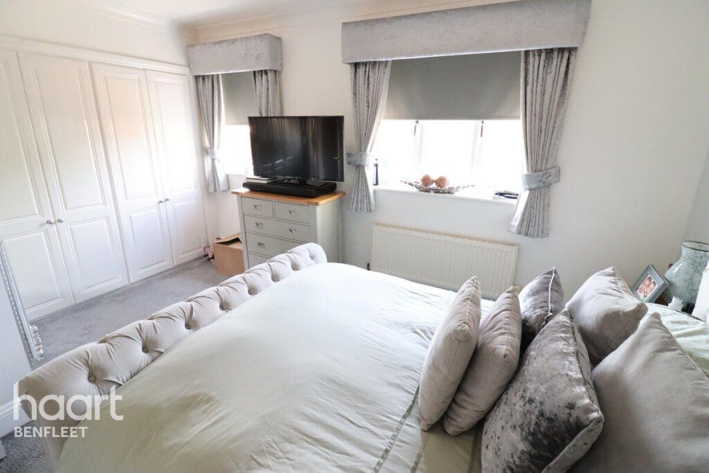
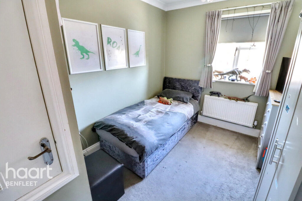
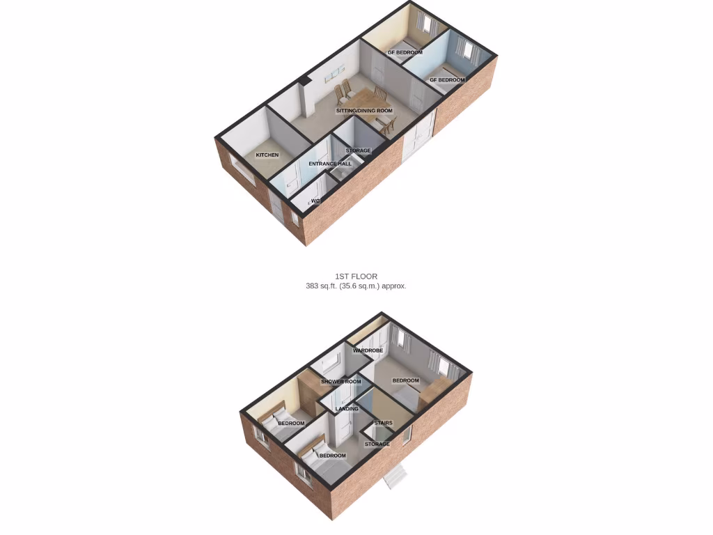
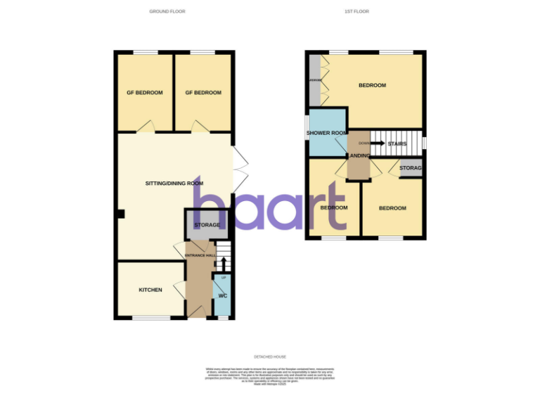
Set in a sought-after Canvey Island location and offered freehold, this modern five-bedroom detached house delivers flexible family living across well-proportioned rooms (approx. 1,475 sq ft). The ground floor’s open-plan lounge/diner and stylish fitted kitchen create a social hub, while two ground-floor bedrooms provide space for guests, a home office or multigenerational use. A low-maintenance rear garden and gated driveway with ample off-street parking add practical convenience.
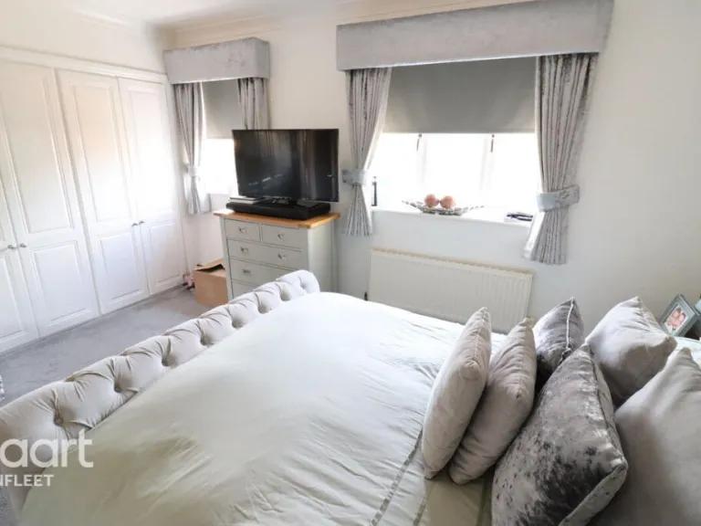
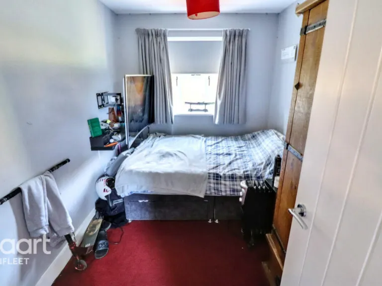
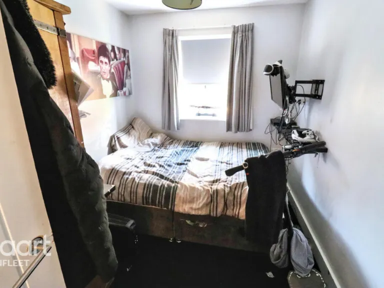
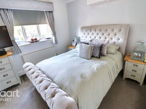
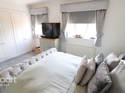
Three bedrooms occupy the first floor alongside a contemporary family shower room; the property also benefits from an additional cloakroom and a total of three bathrooms, useful for busy households. Built c.1996–2002 with double glazing and mains gas central heating, the house is presented in good decorative order and requires no immediate renovation. Flood risk is very low and utilities/connectivity are strong (excellent mobile signal, fast broadband).
Location is a key asset: the beach is within walking distance, local shops, bars and restaurants are close by, and several primary schools rated Good are nearby. Commuters can reach London via the A13 or Benfleet station. Note the wider area has mixed secondary school outcomes — two local secondaries are rated below Good — and the property sits in an ageing suburban community rather than a younger family enclave.
This home suits growing families seeking space, flexibility and seaside access without needing major works. The guide price band of £500,000–£525,000 reflects the size, location and ready-to-move-in condition.
 4 bedroom detached house for sale in Church Parade, Canvey Island, SS8 — £500,000 • 4 bed • 3 bath • 1454 ft²
 5 bedroom detached house for sale in May Avenue, Canvey Island, SS8 — £500,000 • 5 bed • 3 bath • 1370 ft²
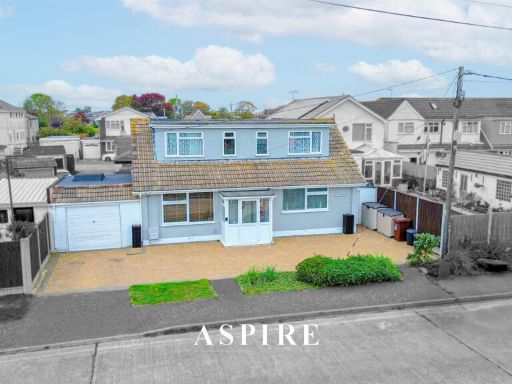 4 bedroom detached house for sale in Station Road, Canvey Island, SS8 — £475,000 • 4 bed • 2 bath • 1603 ft²
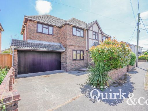 5 bedroom detached house for sale in Handel Road, Canvey Island, SS8 — £425,000 • 5 bed • 2 bath
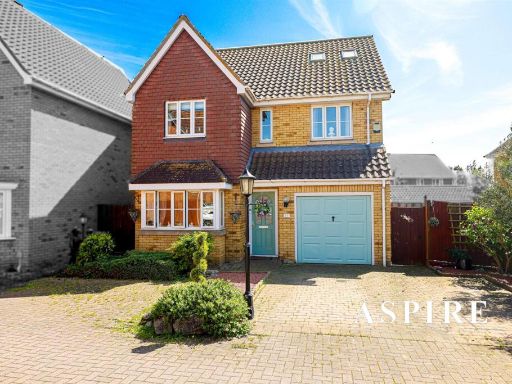 5 bedroom house for sale in Jasmine Close, Canvey Island, SS8 — £450,000 • 5 bed • 2 bath • 1346 ft²
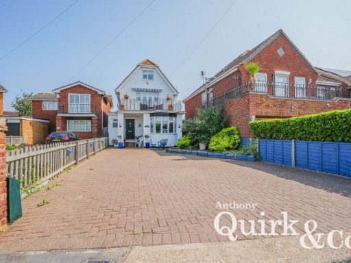 5 bedroom detached house for sale in Thorney Bay Road, Canvey Island, SS8 — £475,000 • 5 bed • 2 bath