MK7 7DB - 4 bedroom detached house for sale in Lavender Grove, Walnut…
View on Property Piper
4 bedroom detached house for sale in Lavender Grove, Walnut Tree, MK7
Property Details
- Price: £500000
- Bedrooms: 4
- Bathrooms: 3
- Property Type: undefined
- Property SubType: undefined
Image Descriptions
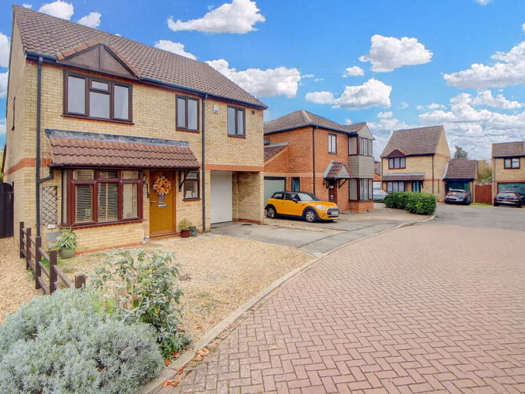
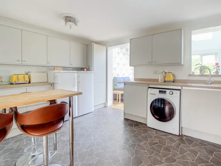
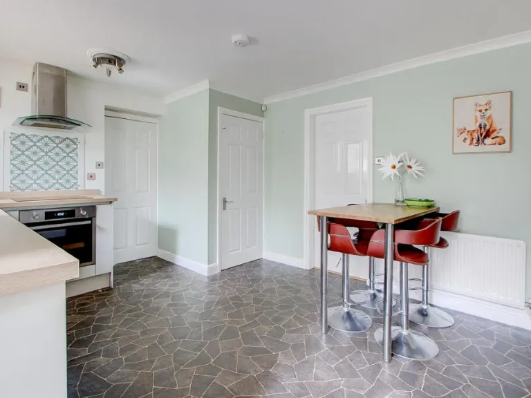
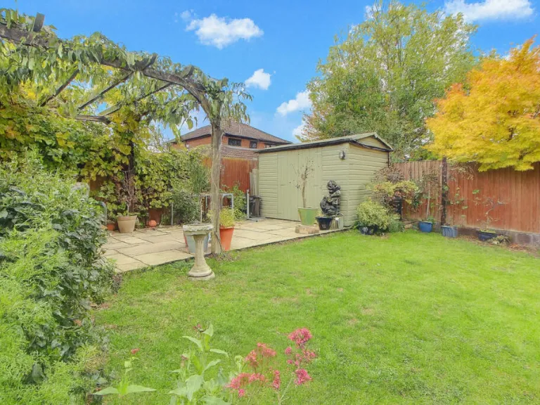
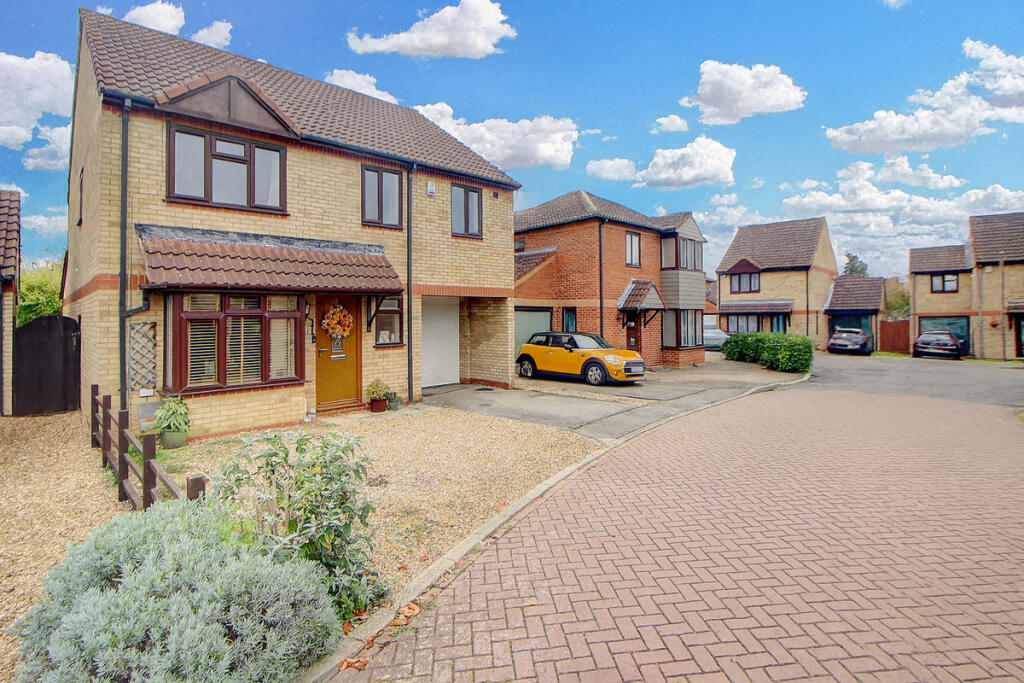
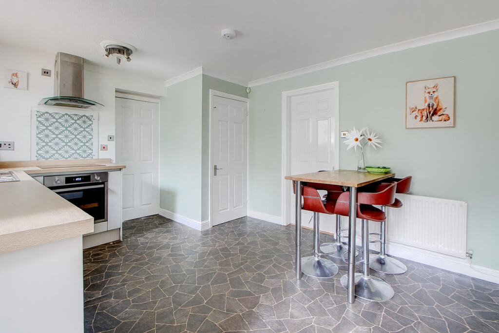
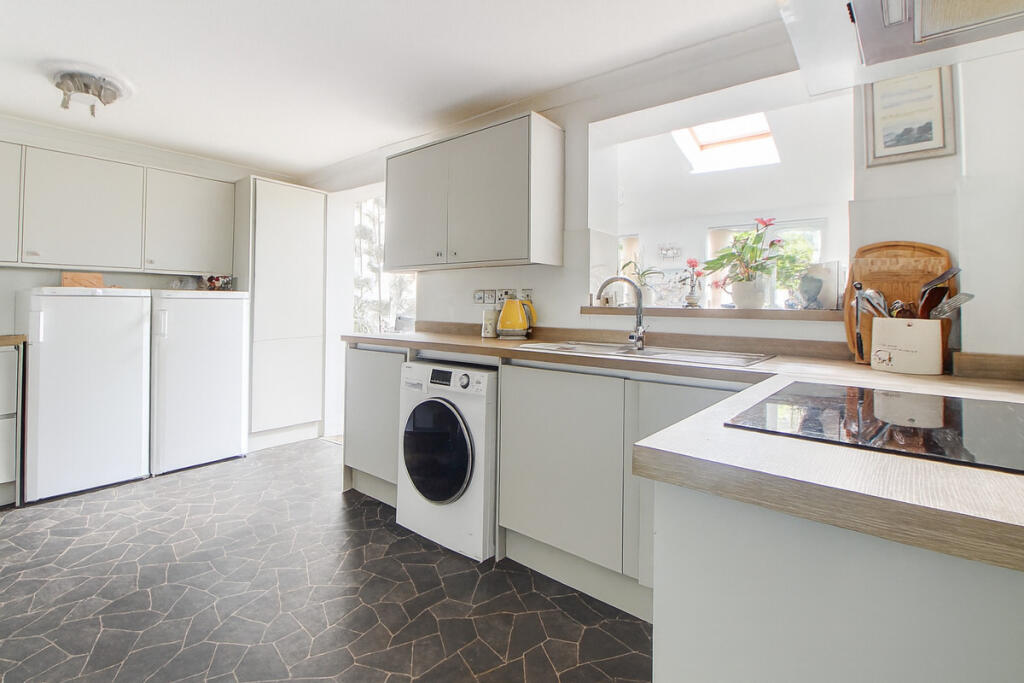
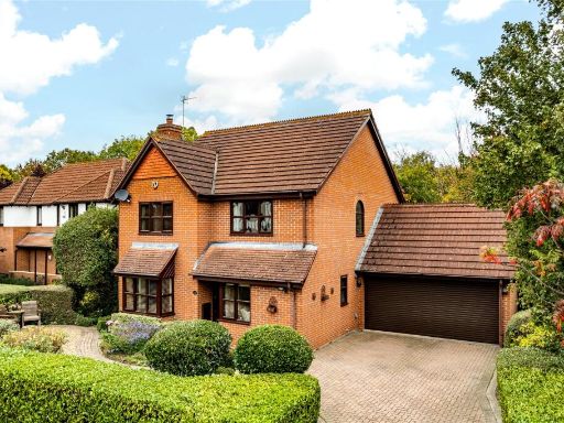
- semi-detached house modern
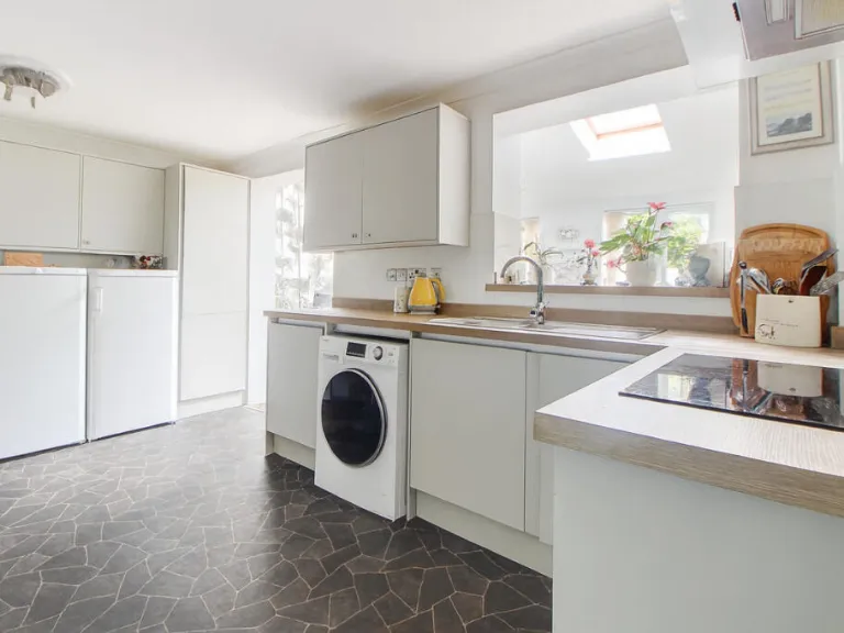
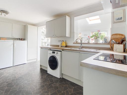
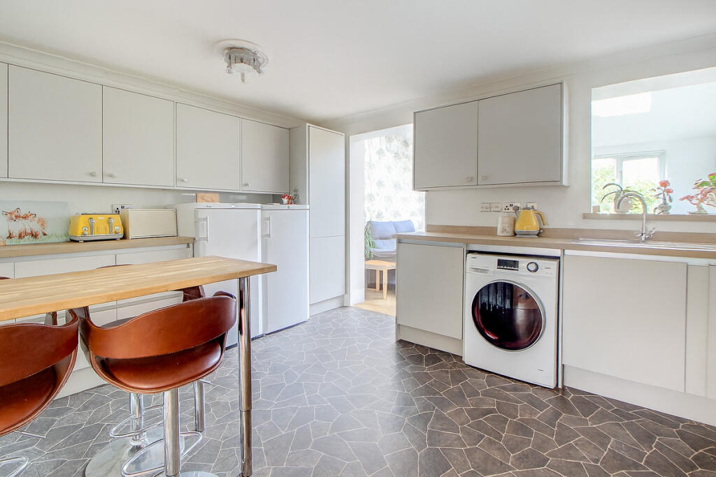
- kitchen contemporary
Floorplan Description
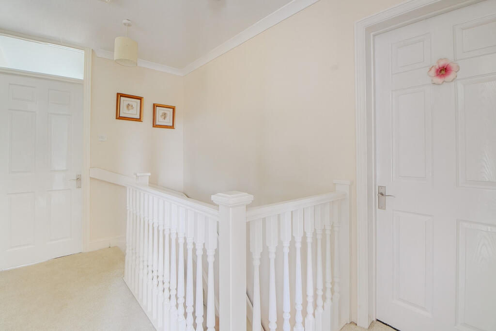
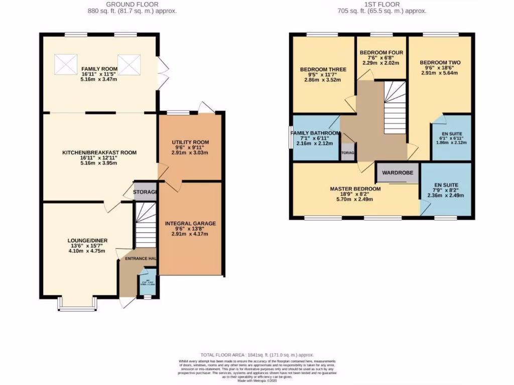
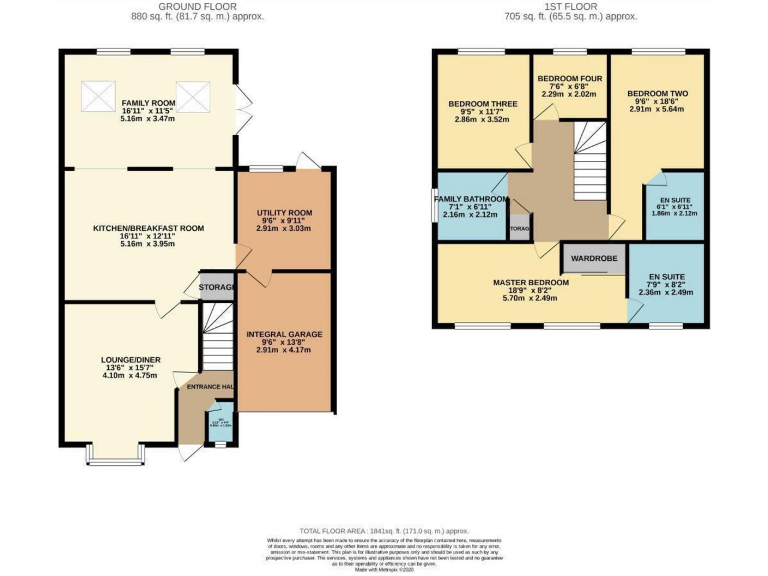
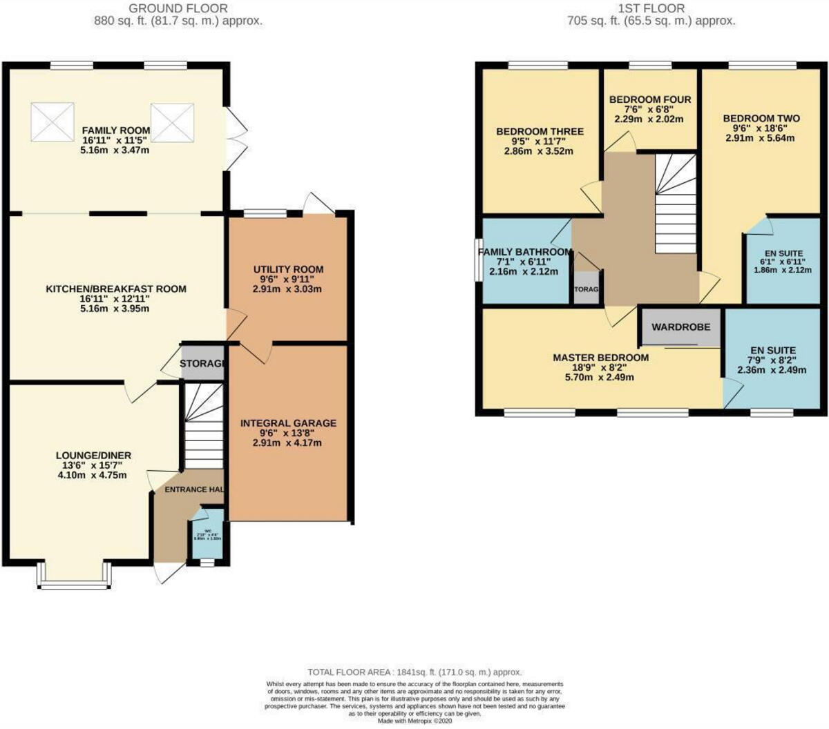
- Two-storey residential property with ground-floor living/kitchen and first-floor bedrooms and bathrooms.
Rooms
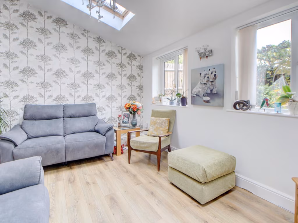
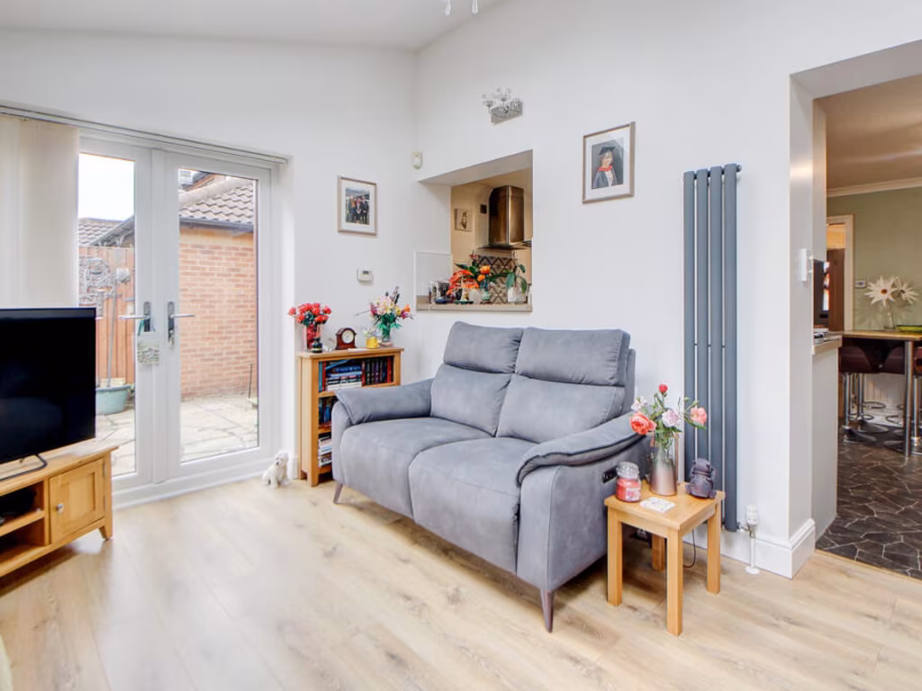
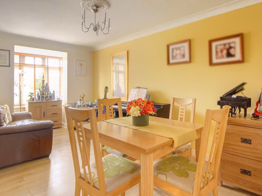
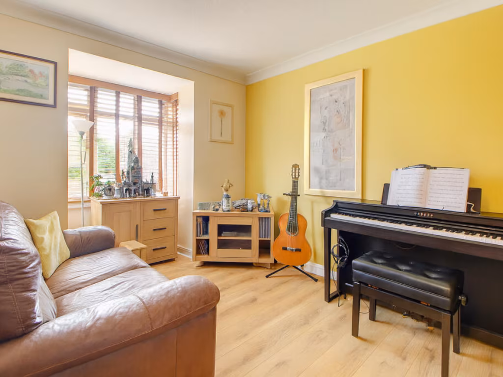
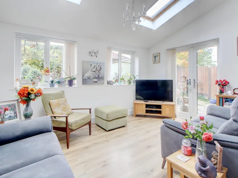
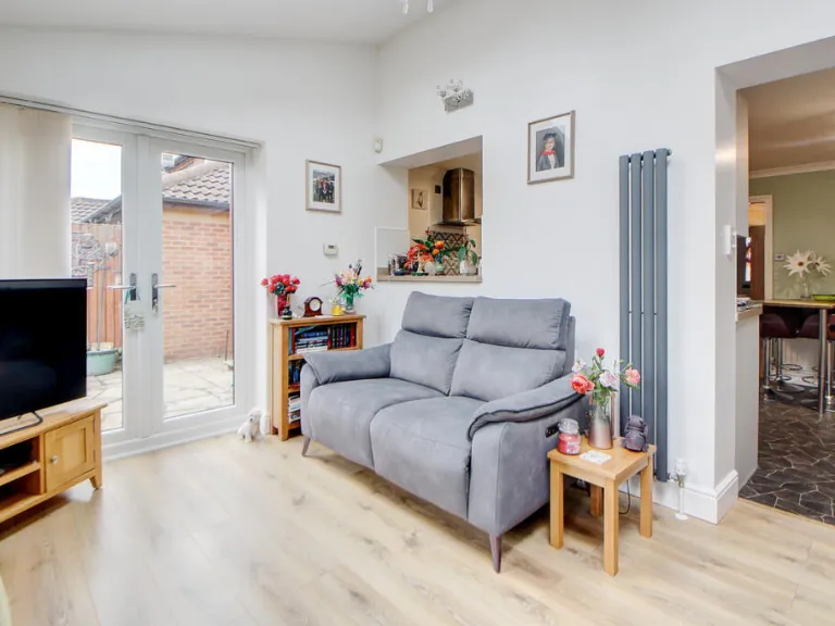
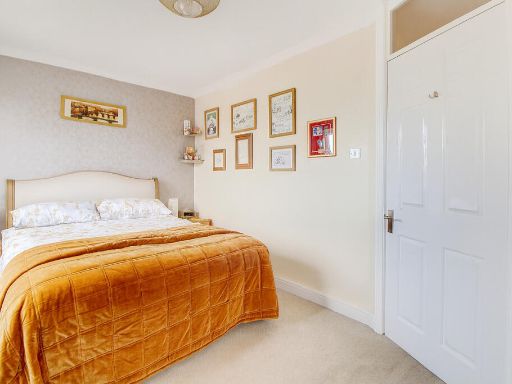
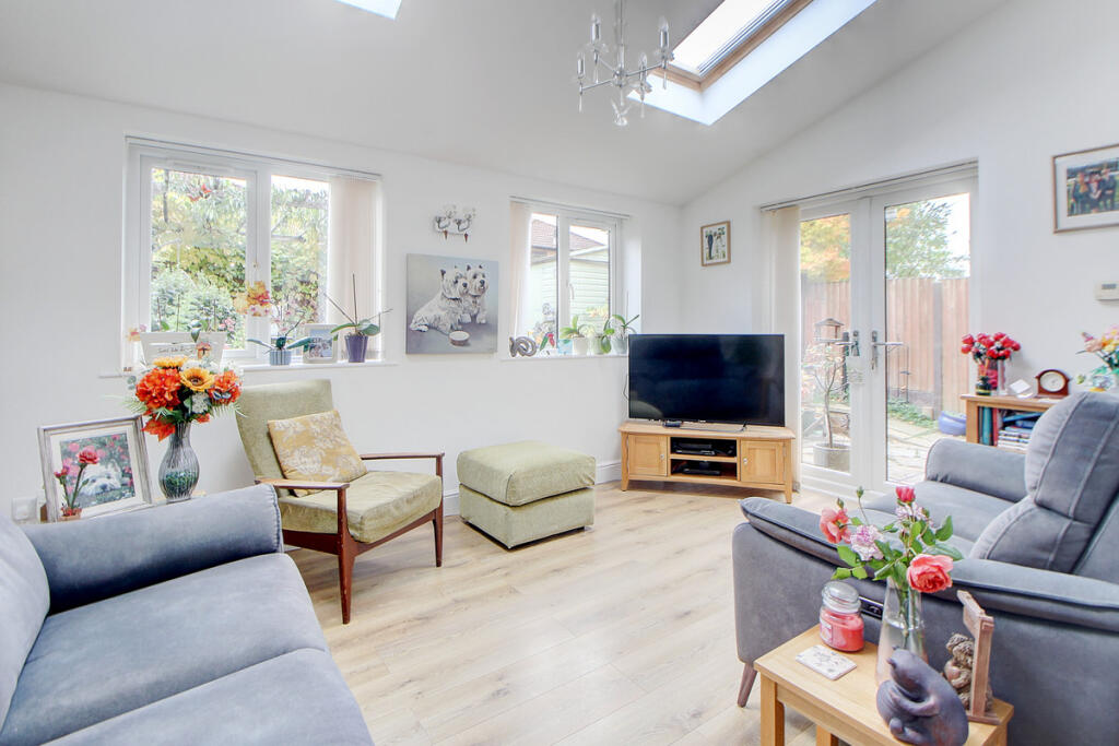
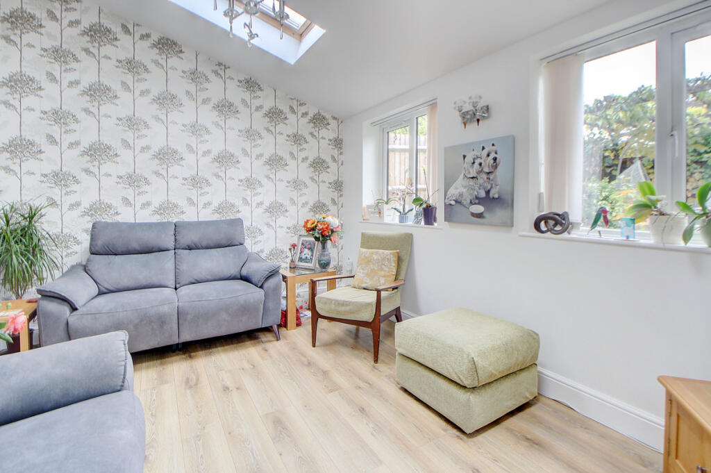
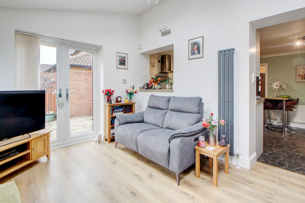
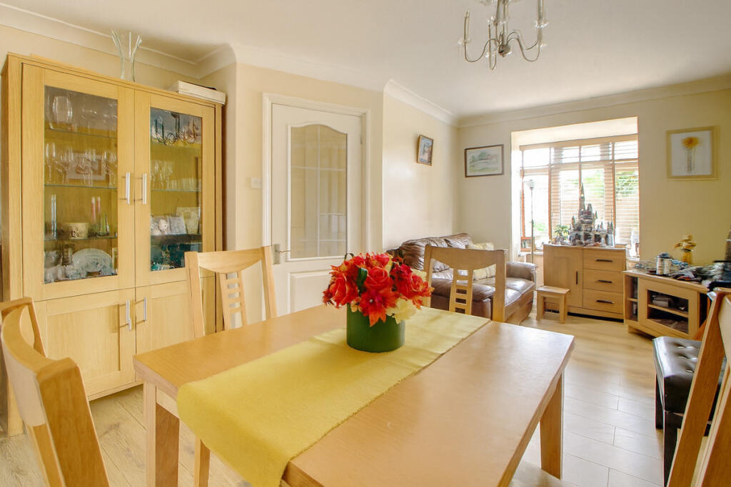
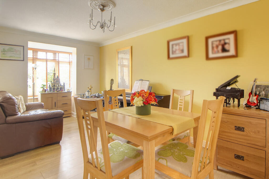
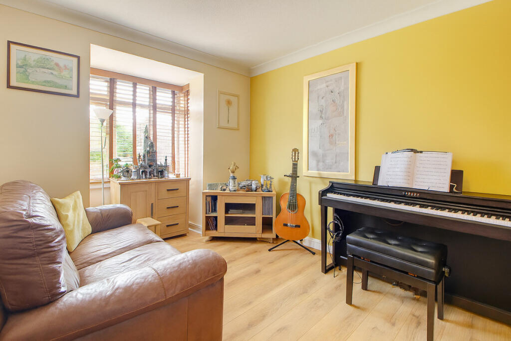
- FAMILY ROOM:
- KITCHEN/BREAKFAST ROOM:
- UTILITY ROOM:
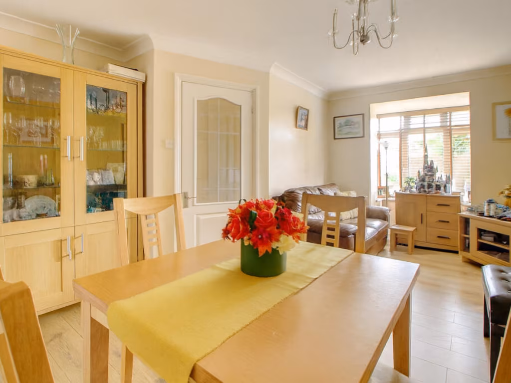
- LOUNGE/DINER:
- INTEGRAL GARAGE:
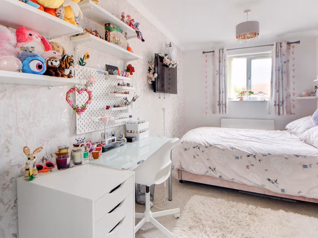
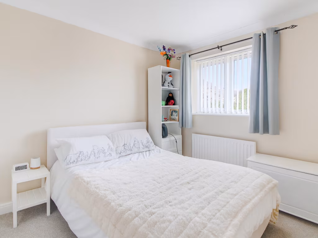
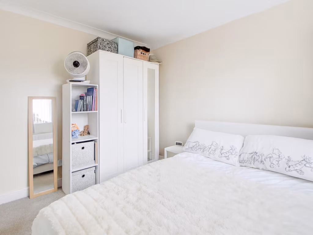
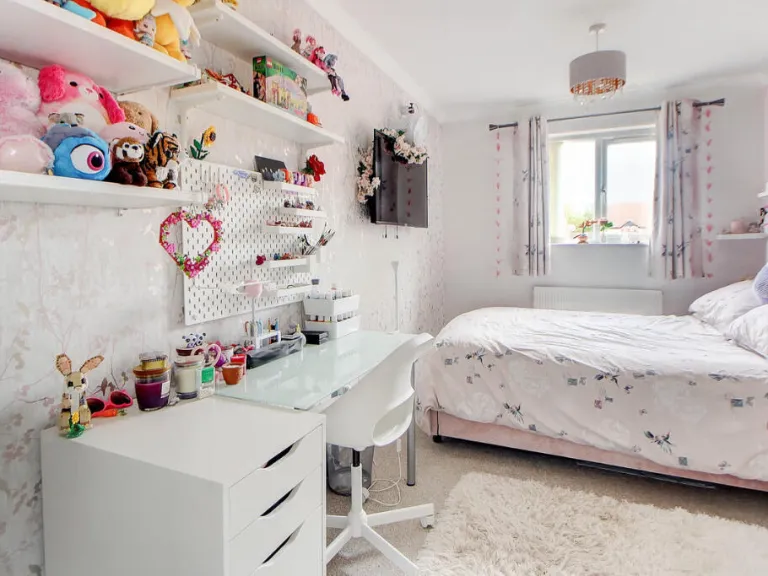
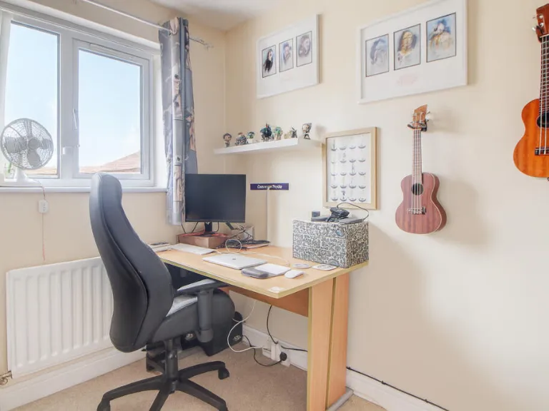
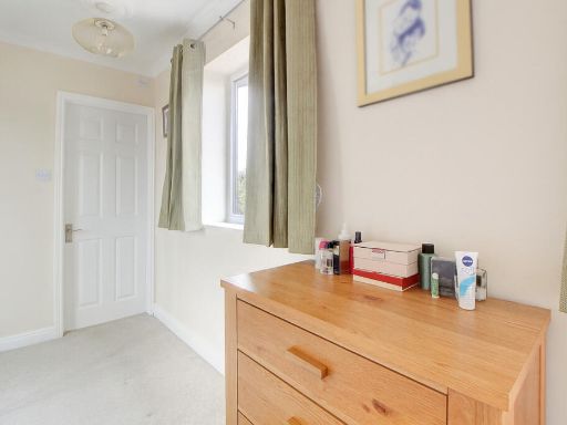
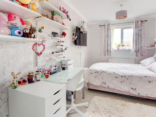
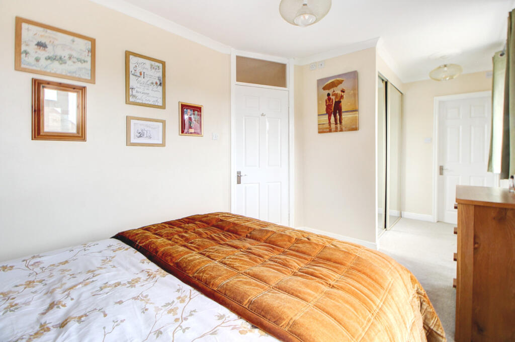
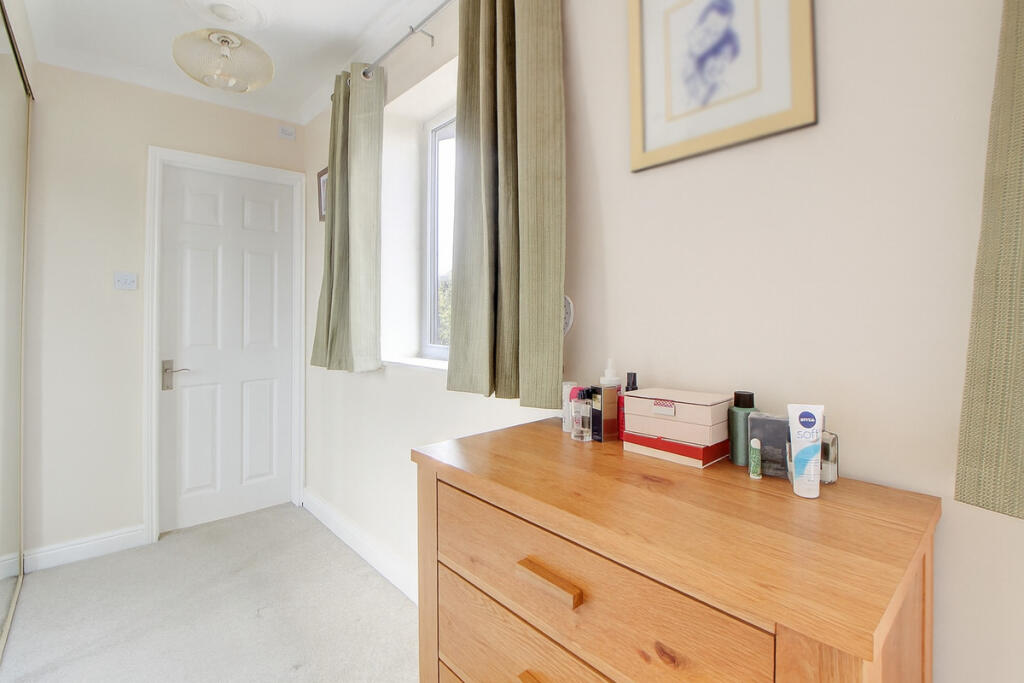
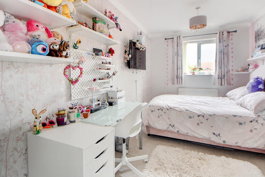
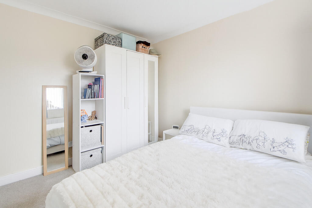
- BEDROOM THREE:
- BEDROOM FOUR:
- BEDROOM TWO:
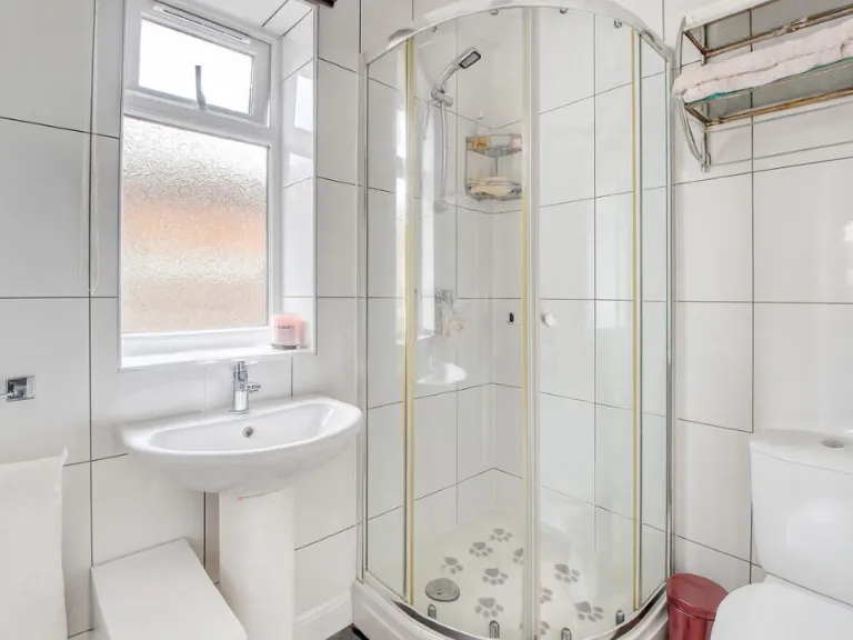
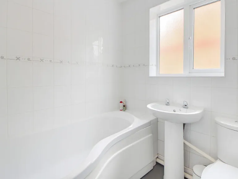
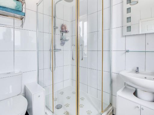
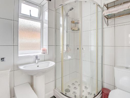
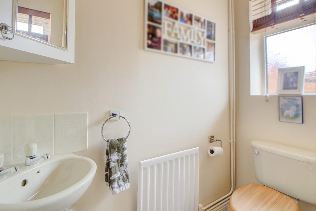
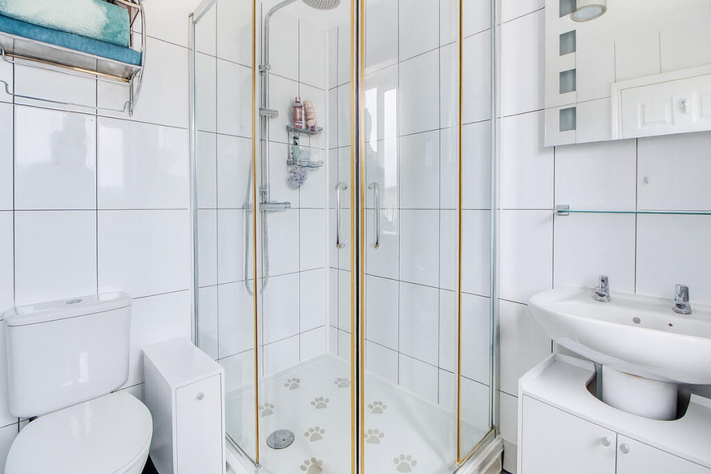
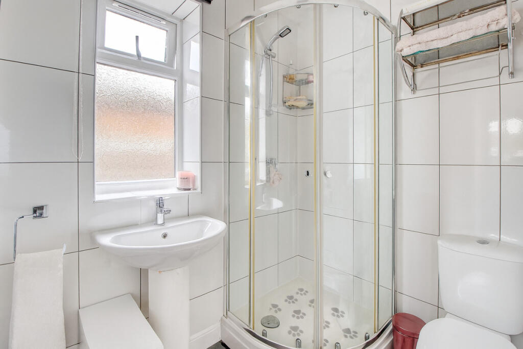
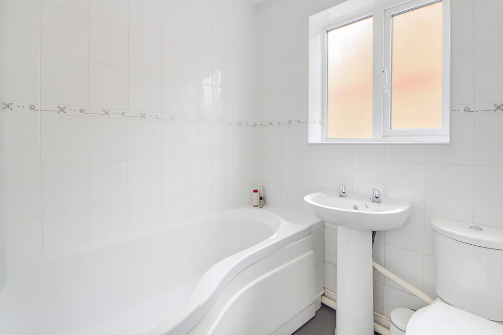
- FAMILY BATHROOM:
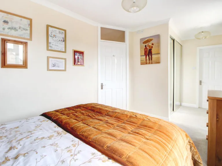
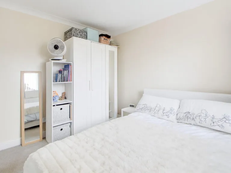
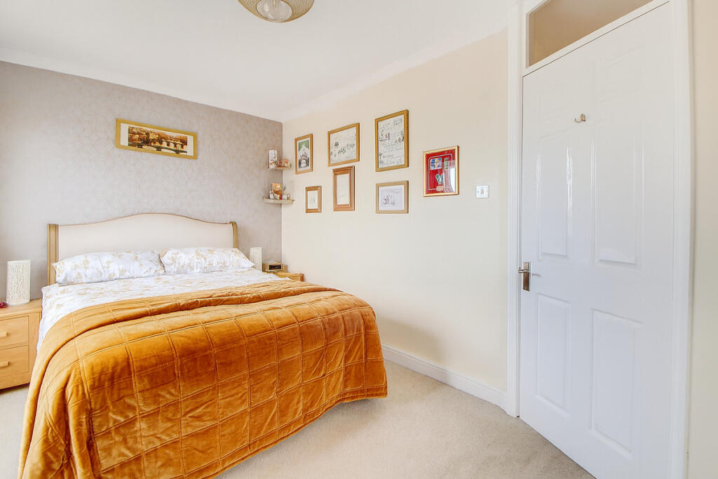
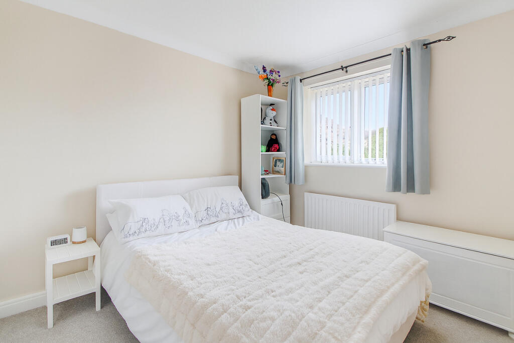
- MASTER BEDROOM:
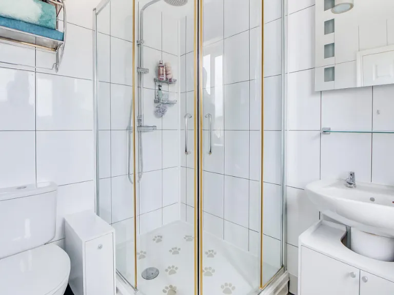
- EN SUITE:
- EN SUITE:
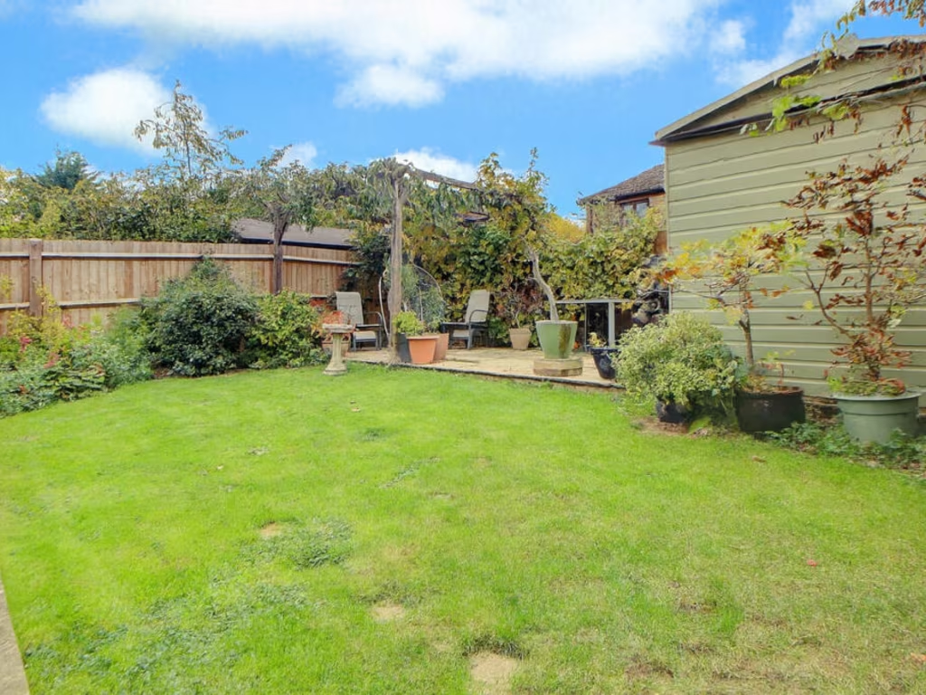
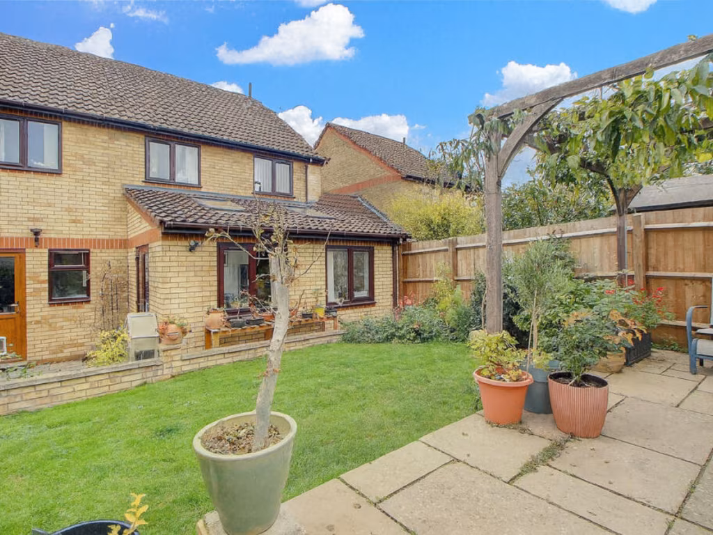
Textual Property Features
Detected Visual Features
- semi-detached house
- modern style
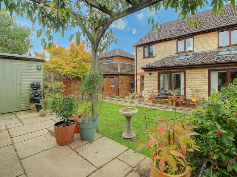
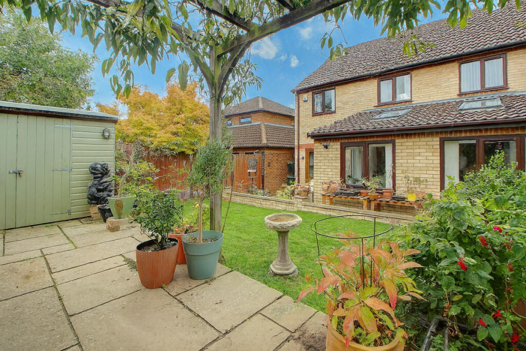
- garage
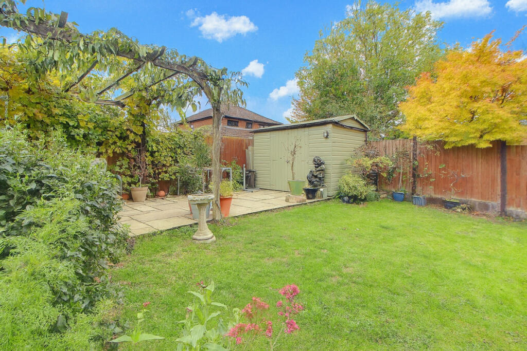
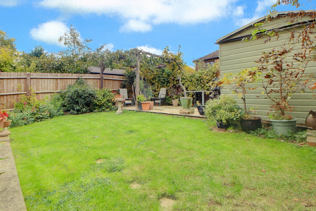
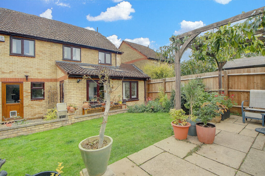
- garden
- two-storey
- residential area
- off-road parking
- contemporary kitchen
- modern appliances
- breakfast bar
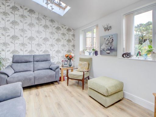
- natural light
- tile flooring
- expansive counter space
- storage cabinets
- neutral color scheme
EPC Details
- Fully double glazed
- Cavity wall, filled cavity
- Boiler and radiators, mains gas
- Low energy lighting in all fixed outlets
- Solid, no insulation (assumed)
Nearby Schools
- Baytul Ilm Secondary School
- Heronsgate School
- New Chapter Primary School
- Monkston Primary School
- Bow Brickhill CofE VA Primary School
- Moorland Primary School
- Langland Community School
- Kents Hill School
- Kents Hill Park all-through school
- Broughton Manor Preparatory School
- The Premier Academy
- Heronshaw School
- Walton High
- Falconhurst School
- Orchard Academy
- Shepherdswell Academy
- Broughton Fields Primary School
- Charles Warren Academy
- Wavendon Gate School
- Glebe Farm School
- St Bernadette's Catholic Primary School
- Oakgrove School
- Middleton Primary School
- Brooklands Farm Primary School
- Bishop Parker Catholic School
- Knowles Primary School
Nearest General Shops
- Id: 404261536
- Tags:
- Brand: Ladbrokes
- Brand:wikidata: Q1799875
- Name: Ladbrokes
- Shop: bookmaker
- TagsNormalized:
- Lat: 52.0226273
- Lon: -0.689835
- FullGeoHash: gcpxbq3tv8te
- PartitionGeoHash: gcpx
- Images:
- FoodStandards: null
- Distance: 696.1
,- Id: 155787316
- Tags:
- Addr:
- City: Milton Keynes
- Country: GB
- Housenumber: 1
- Postcode: MK7 7ED
- Street: Wadesmill Lane
- Suburb: Walnut Tree
- Building: yes
- Fhrs:
- Authority: Milton Keynes
- Id: 199151
- Local_authority_id: 48477
- Name: Jey Stores
- Shop: supermarket
- TagsNormalized:
- Lat: 52.0151952
- Lon: -0.6952833
- FullGeoHash: gcpxbjjdqxpj
- PartitionGeoHash: gcpx
- Images:
- FoodStandards:
- Id: 199151
- FHRSID: 199151
- LocalAuthorityBusinessID: 48477
- BusinessName: Jey Stores
- BusinessType: Retailers - other
- BusinessTypeID: 4613
- AddressLine1: null
- AddressLine2: 1 Wadesmill Lane
- AddressLine3: Walnut Tree
- AddressLine4: Milton Keynes
- PostCode: MK7 7ED
- RatingValue: 5
- RatingKey: fhrs_5_en-GB
- RatingDate: 2020-03-07
- LocalAuthorityCode: 870
- LocalAuthorityName: Milton Keynes
- LocalAuthorityWebSite: http://www.milton-keynes.gov.uk
- LocalAuthorityEmailAddress: ehfst@milton-keynes.gov.uk
- Scores:
- Hygiene: 0
- Structural: 0
- ConfidenceInManagement: 0
- NewRatingPending: false
- Geocode:
- Longitude: -0.69541300000000
- Latitude: 52.01509000000000
- Distance: 398.8
,- Id: 463189833
- Tags:
- Addr:
- City: Milton Keynes
- Country: GB
- Housenumber: 2
- Postcode: MK7 7AE
- Street: Walton Road
- Suburb: Walnut Tree
- Building: yes
- Name: Walnut Pet Supplies
- Shop: farm
- TagsNormalized:
- Lat: 52.0200312
- Lon: -0.700522
- FullGeoHash: gcpxbjcysssv
- PartitionGeoHash: gcpx
- Images:
- FoodStandards: null
- Distance: 267
}
Nearest Religious buildings
- Id: 179646434
- Tags:
- Amenity: place_of_worship
- Building: church
- Denomination: deconsecrated
- Name: St Michael's
- Religion: christian
- TagsNormalized:
- place of worship
- church
- christian
- Lat: 52.0233397
- Lon: -0.7118524
- FullGeoHash: gcprzy99utkm
- PartitionGeoHash: gcpr
- Images:
- FoodStandards: null
- Distance: 1119.2
,- Id: 32676415
- Tags:
- Amenity: parking
- Name: Church Car Park
- TagsNormalized:
- Lat: 52.0234688
- Lon: -0.7107408
- FullGeoHash: gcprzyd6wt3p
- PartitionGeoHash: gcpr
- Images:
- FoodStandards: null
- Distance: 1060.5
,- Id: 824808447
- Tags:
- Addr:
- City: Milton Keynes
- Country: GB
- Postcode: MK7 6HQ
- Street: Frithwood Crescent
- Suburb: Kents Hill
- Amenity: place_of_worship
- Building: church
- Denomination: ecumenical
- Name: Church of Christ the King
- Religion: christian
- TagsNormalized:
- place of worship
- church
- christian
- Lat: 52.0258979
- Lon: -0.6957988
- FullGeoHash: gcpxbpj2fdqc
- PartitionGeoHash: gcpx
- Images:
- FoodStandards: null
- Distance: 829.5
}
Nearest Airports
- Id: 110273499
- Tags:
- Addr:
- Country: GB
- Postcode: LU2 9LY
- Aerodrome: international
- Aerodrome:type: public
- Aeroway: aerodrome
- Alt_name: London Luton
- Iata: LTN
- Icao: EGGW
- Name: London Luton Airport
- Website: https://www.london-luton.co.uk/
- Wikidata: Q8712
- Wikipedia: en:Luton Airport
- TagsNormalized:
- airport
- international airport
- Lat: 51.8780363
- Lon: -0.3701408
- FullGeoHash: gcpxps47rngh
- PartitionGeoHash: gcpx
- Images:
- FoodStandards: null
- Distance: 27338.3
}
Nearest Leisure Facilities
- Id: 157832476
- Tags:
- TagsNormalized:
- Lat: 52.0207238
- Lon: -0.6986491
- FullGeoHash: gcpxbn568mc2
- PartitionGeoHash: gcpx
- Images:
- FoodStandards: null
- Distance: 258.2
,- Id: 156357581
- Tags:
- Barrier: fence
- Leisure: playground
- TagsNormalized:
- Lat: 52.0166442
- Lon: -0.6953094
- FullGeoHash: gcpxbjmdyj79
- PartitionGeoHash: gcpx
- Images:
- FoodStandards: null
- Distance: 256.2
,- Id: 665050511
- Tags:
- Leisure: park
- Name: Walton Road Park
- TagsNormalized:
- Lat: 52.0207077
- Lon: -0.6986135
- FullGeoHash: gcpxbn5694u0
- PartitionGeoHash: gcpx
- Images:
- FoodStandards: null
- Distance: 255.8
,- Id: 156359247
- Tags:
- Leisure: park
- Name: Snail Park
- TagsNormalized:
- Lat: 52.0199446
- Lon: -0.6958063
- FullGeoHash: gcpxbjvq4s90
- PartitionGeoHash: gcpx
- Images:
- FoodStandards: null
- Distance: 197
,- Id: 156359256
- Tags:
- TagsNormalized:
- Lat: 52.0193065
- Lon: -0.6965553
- FullGeoHash: gcpxbjuf3jdd
- PartitionGeoHash: gcpx
- Images:
- FoodStandards: null
- Distance: 109.5
}
Nearest Tourist attractions
- Id: 7507014881
- Tags:
- TagsNormalized:
- Lat: 52.0439016
- Lon: -0.6903152
- FullGeoHash: gcr80633dqrt
- PartitionGeoHash: gcr8
- Images:
- FoodStandards: null
- Distance: 2865.7
,- Id: 512580628
- Tags:
- Building: yes
- Name: Tecton Art Centre
- Source: OS OpenMap Local
- Tourism: gallery
- TagsNormalized:
- Lat: 51.9980025
- Lon: -0.7174282
- FullGeoHash: gcprz9vw6dny
- PartitionGeoHash: gcpr
- Images:
- FoodStandards: null
- Distance: 2657.3
,- Id: 5678575999
- Tags:
- Addr:
- City: Milton Keynes
- Country: GB
- Housenumber: 33
- Postcode: MK17 8AQ
- Street: Cross End
- Suburb: Wavendon
- Internet_access: yes
- Internet_access:fee: no
- Internet_access:ssid: SouthLodge-Guest
- Name: South Lodge
- Rooms: 4
- Tourism: guest_house
- TagsNormalized:
- Lat: 52.0247674
- Lon: -0.6616631
- FullGeoHash: gcpxbyy4nps1
- PartitionGeoHash: gcpx
- Images:
- FoodStandards: null
- Distance: 2549
}
Nearest Hotels
- Id: 3080449
- Tags:
- Addr:
- City: Milton Keynes
- Country: GB
- Postcode: MK7 6BZ
- Street: Timbold Drive
- Suburb: Kents Hill Park
- Building: yes
- Fhrs:
- Authority: Milton Keynes
- Id: 128422
- Local_authority_id: 58339
- Name: Lapwing Building
- Source:
- Addr:
- Postcode: code-point_open
- Tourism: hotel
- Type: multipolygon
- TagsNormalized:
- Lat: 52.0300033
- Lon: -0.7015775
- FullGeoHash: gcpxbpc0sp9g
- PartitionGeoHash: gcpx
- Images:
- FoodStandards: null
- Distance: 1307.9
,- Id: 88990997
- Tags:
- Addr:
- City: Milton Keynes
- Country: GB
- Postcode: MK7 8HP
- Street: Bletcham Way
- Suburb: Caldecotte
- Brand: Premier Inn
- Brand:wikidata: Q2108626
- Building: hotel
- Name: Premier Inn Milton Keynes South
- Operator: Premier Inn
- Tourism: hotel
- Website: https://www.premierinn.com/gb/en/hotels/england/buckinghamshire/milton-keynes/milton-keynes-south.html
- TagsNormalized:
- Lat: 52.0113182
- Lon: -0.7077702
- FullGeoHash: gcprzukegu2q
- PartitionGeoHash: gcpr
- Images:
- FoodStandards: null
- Distance: 1064.8
,- Id: 178854257
- Tags:
- Addr:
- Postcode: MK7 6HL
- Street: Timbold Drive
- Brand: Delta Hotels
- Brand:wikidata: Q5254663
- Brand:wikipedia: en:Hilton Hotels & Resorts
- Building: yes
- Fhrs:
- Name: Delta Hotels
- Source:
- Tourism: hotel
- TagsNormalized:
- Lat: 52.0237349
- Lon: -0.7020952
- FullGeoHash: gcpxbn8spzpf
- PartitionGeoHash: gcpx
- Images:
- FoodStandards: null
- Distance: 660.4
}
Tags
- semi-detached house
- modern style
- garage
- garden
- two-storey
- residential area
- off-road parking
- contemporary kitchen
- modern appliances
- breakfast bar
- natural light
- tile flooring
- expansive counter space
- storage cabinets
- neutral color scheme
Local Market Stats
- Average Price/sqft: £393
- Avg Income: £65300
- Rental Yield: 3.3%
- Social Housing: 14%
- Planning Success Rate: 93%
Similar Properties
 4 bedroom detached house for sale in Cloudberry, Walnut Tree, Milton Keynes, Buckinghamshire, MK7 — £700,000 • 4 bed • 2 bath • 1639 ft²
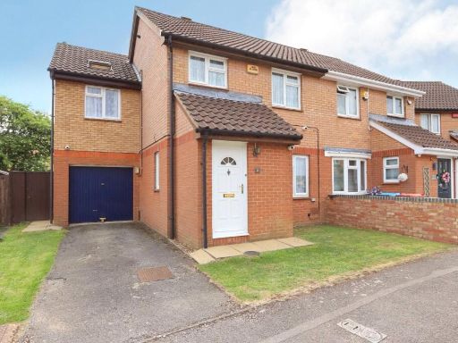 4 bedroom semi-detached house for sale in Pettingrew Close, Walnut Tree, Miton Keynes, Bucks, MK7 — £415,000 • 4 bed • 3 bath • 1058 ft²
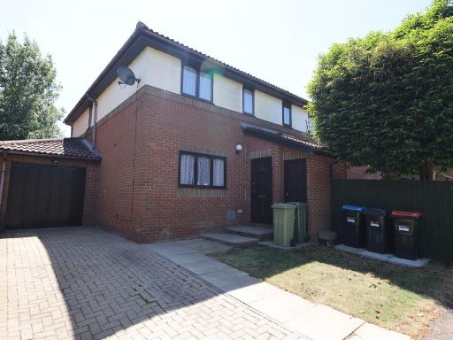 3 bedroom semi-detached house for sale in Dunchurch Dale, Walnut Tree, MILTON KEYNES, MK7 — £375,000 • 3 bed • 1 bath • 684 ft²
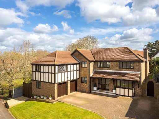 5 bedroom detached house for sale in Cloudberry, Walnut Tree, Milton Keynes, Buckinghamshire, MK7 — £875,000 • 5 bed • 3 bath • 2190 ft²
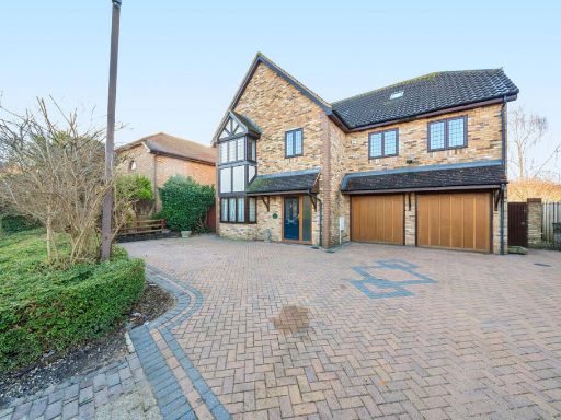 6 bedroom detached house for sale in Studley Knapp, Walnut Tree, MK7 — £800,000 • 6 bed • 5 bath • 3672 ft²
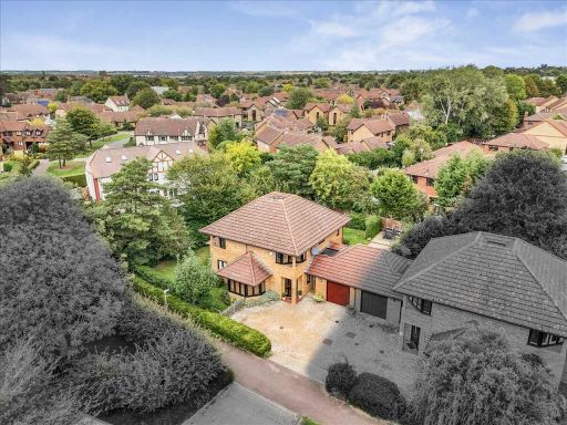 5 bedroom detached house for sale in Angelica Court, Walnut Tree, Milton Keynes, MK7 — £675,000 • 5 bed • 2 bath • 1886 ft²
Meta
- {
"@context": "https://schema.org",
"@type": "Residence",
"name": "4 bedroom detached house for sale in Lavender Grove, Walnut…",
"description": "",
"url": "https://propertypiper.co.uk/property/356d100c-9031-4952-aa1a-0d2ca7a9488b",
"image": "https://image-a.propertypiper.co.uk/53186093-8755-4f2d-8b79-1f87736235b9-1024.jpeg",
"address": {
"@type": "PostalAddress",
"streetAddress": "13 LAVENDER GROVE WALNUT TREE MILTON KEYNES",
"postalCode": "MK7 7DB",
"addressLocality": "Milton Keynes",
"addressRegion": "Milton Keynes South",
"addressCountry": "England"
},
"geo": {
"@type": "GeoCoordinates",
"latitude": 52.01851195624074,
"longitude": -0.6975008352714688
},
"numberOfRooms": 4,
"numberOfBathroomsTotal": 3,
"floorSize": {
"@type": "QuantitativeValue",
"value": 1841,
"unitCode": "FTK"
},
"offers": {
"@type": "Offer",
"price": 500000,
"priceCurrency": "GBP",
"availability": "https://schema.org/InStock"
},
"additionalProperty": [
{
"@type": "PropertyValue",
"name": "Feature",
"value": "semi-detached house"
},
{
"@type": "PropertyValue",
"name": "Feature",
"value": "modern style"
},
{
"@type": "PropertyValue",
"name": "Feature",
"value": "garage"
},
{
"@type": "PropertyValue",
"name": "Feature",
"value": "garden"
},
{
"@type": "PropertyValue",
"name": "Feature",
"value": "two-storey"
},
{
"@type": "PropertyValue",
"name": "Feature",
"value": "residential area"
},
{
"@type": "PropertyValue",
"name": "Feature",
"value": "off-road parking"
},
{
"@type": "PropertyValue",
"name": "Feature",
"value": "contemporary kitchen"
},
{
"@type": "PropertyValue",
"name": "Feature",
"value": "modern appliances"
},
{
"@type": "PropertyValue",
"name": "Feature",
"value": "breakfast bar"
},
{
"@type": "PropertyValue",
"name": "Feature",
"value": "natural light"
},
{
"@type": "PropertyValue",
"name": "Feature",
"value": "tile flooring"
},
{
"@type": "PropertyValue",
"name": "Feature",
"value": "expansive counter space"
},
{
"@type": "PropertyValue",
"name": "Feature",
"value": "storage cabinets"
},
{
"@type": "PropertyValue",
"name": "Feature",
"value": "neutral color scheme"
}
]
}
High Res Floorplan Images
Compatible Floorplan Images
FloorplanImages Thumbnail