Summary - Land At Pittengardner, Pittengardner, Fordoun, Laurencekirk, AB30 AB30 1SD
1 bed 1 bath Land
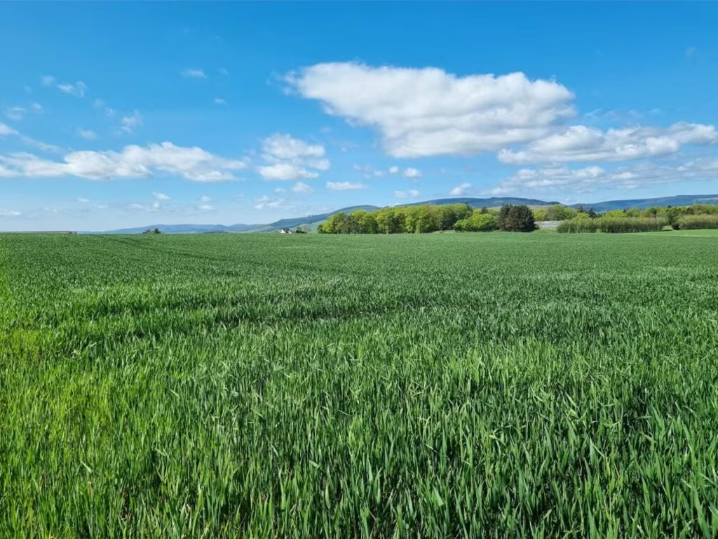
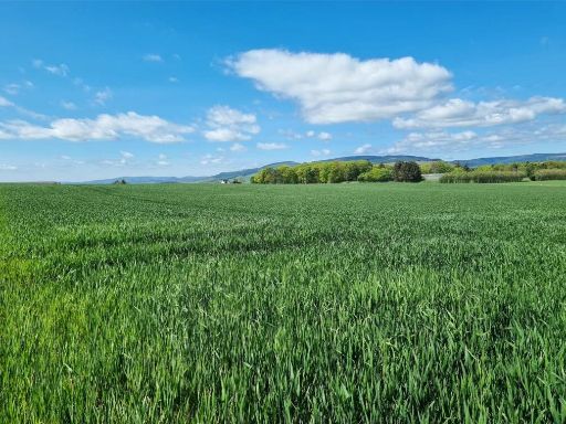
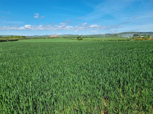
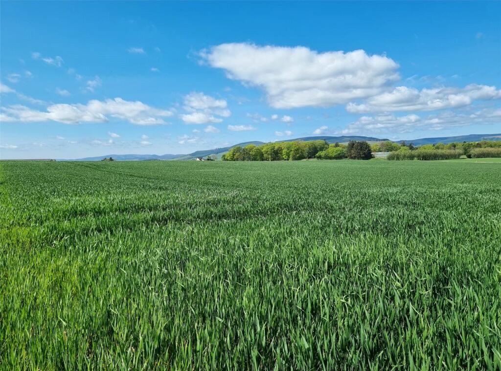
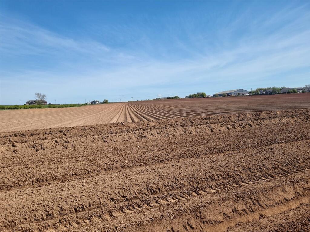
Large, productive fields ideal for commercial farming or strategic land investment.
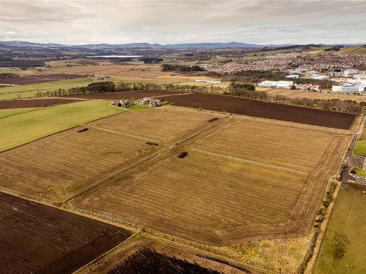
- Total area 248.19 acres (100.44 ha), available whole or in two lots
- Lot sizes: 83.89 acres and 164.30 acres
- Majority Grade 2 soil, some Grade 3(1); IACS registered
- Direct access to public road; established local supply chain
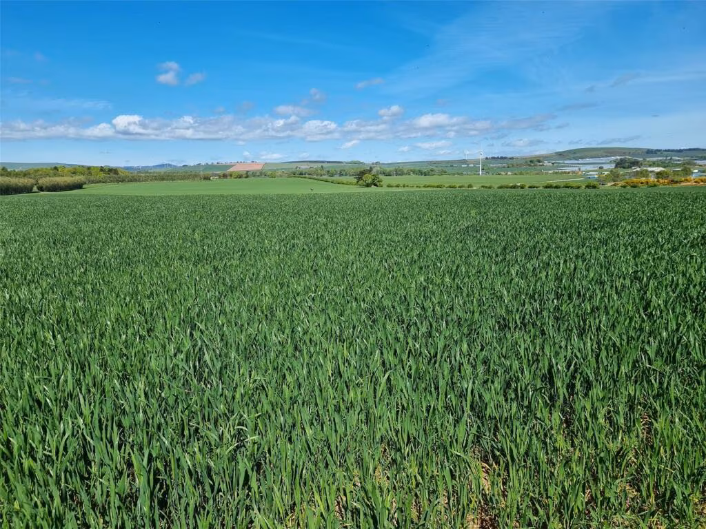
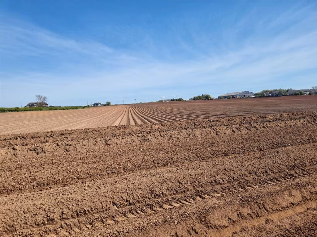
- Suited to potatoes, peas, malting barley and wheat
- Excellent mobile signal; broadband speeds slow on site
- Tenure unspecified — buyers must verify title and rights
- Rural/remoter location; development needs planning permission
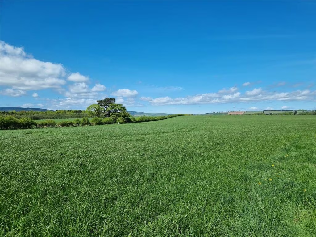
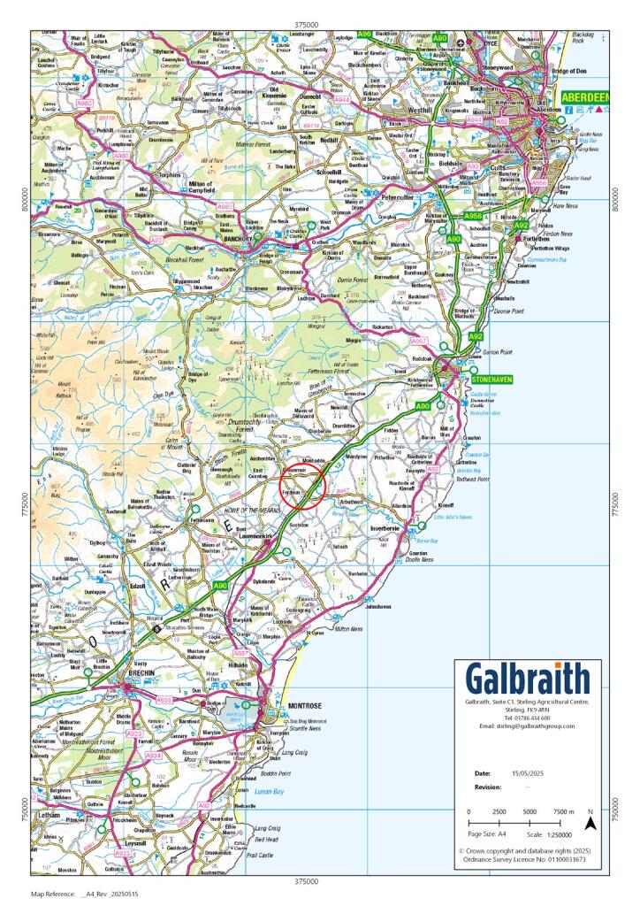
This is a substantial block of arable land in the Howe of the Mearns, offered as a whole (248.19 acres) or in two lots (83.89 acres and 164.30 acres). The majority of the holding is Grade 2 (with some Grade 3(1)) and is registered for IACS, making it well suited to arable cropping and high-value crops such as potatoes, peas, malting barley and wheat. Direct access from the public road and a well‑established local supply chain support immediate agricultural use.
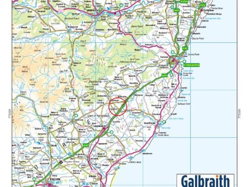
The site sits 5.8 miles north of Laurencekirk and 35.5 miles south of Aberdeen, in a mainly rural setting with mature tree lines and open views. Mobile signal is excellent, aiding agricultural management and connectivity on site, but broadband speeds are slow — a consideration for remote office or precision‑agriculture data needs. Tenure is not stated and prospective buyers should verify ownership, rights and any encumbrances prior to offer.
For investors or commercial farmers this holding delivers scale, established land classification and flexibility: it can continue in conventional arable production, be subdivided between the two lots, or be considered for other agricultural enterprises subject to consents. For buyers contemplating non‑agricultural development, note that any change of use will require planning permission and local authority engagement given the remoter, agricultural classification of the area.
Viewings and technical due diligence are recommended to confirm boundaries, yields and services. The land’s strengths are its size, productive grades and road access; key practical limitations are slow broadband, remoter location and unspecified tenure details which should be resolved before purchase.
 Farm for sale in Cairdhillock, Northside & Hillhead, Kingswells, Aberdeen, AB15 — £1,250,000 • 3 bed • 1 bath • 2717 ft²
 Farm land for sale in Land at Newton, Lumphanan, AB31 4QB, AB31 — £200,000 • 1 bed • 1 bath
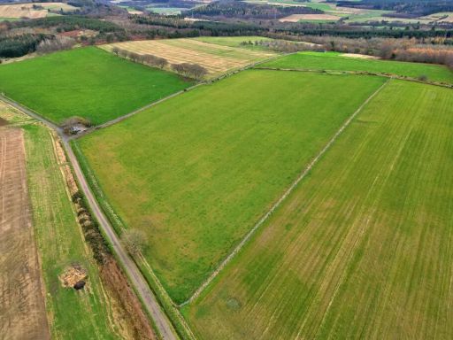 Farm land for sale in Land at East Aquhorthies, Inverurie, AB51 5JL, AB51 — £530,000 • 1 bed • 1 bath
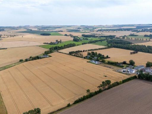 Land for sale in Land At Rosebank Farm, Kingsmuir, Forfar, Angus, DD8 — £500,000 • 1 bed • 1 bath
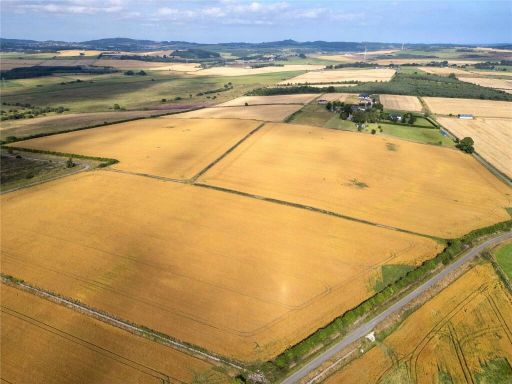 Land for sale in Lot 2: Land At The Baads, Peterculter, Aberdeen, AB14 — £425,000 • 1 bed • 1 bath
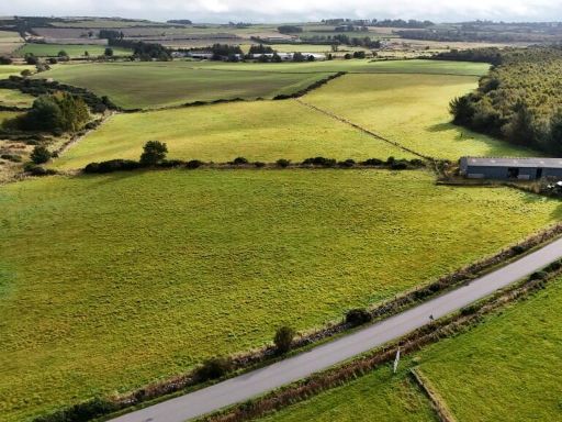 Farm land for sale in Land and Building at Cairnieburn, Netherley, Stonehaven, AB39 3QR, AB39 — £160,000 • 1 bed • 1 bath • 3229 ft²